Using the Microdrones Expert Drone Line to Survey Power Lines with LiDAR
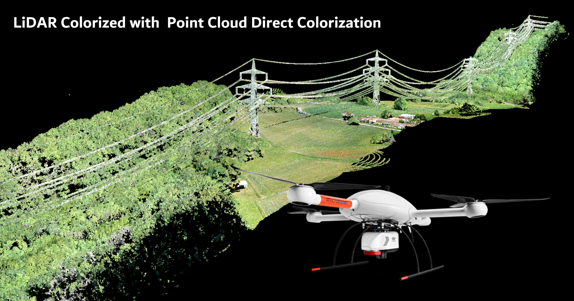
The mdLiDAR3000DL combines our robust and field proven md4-3000 aircraft, with a highly precise and accurate Riegl miniVUX-1DL payload, you can capture ultra-dense LiDAR data quickly and safely in the field, and then turn it into a 3D colorized point cloud back at the office or on your laptop.
One of the applications that the mdLiDAR3000DL is well suited for is surveying power lines. To demonstrate the capabilities and deliverables of this system, the Microdrones Geomatics team recently surveyed a power line corridor and created a fully processed point cloud. CLICK HERE to view the results and interact with the Point Cloud.
The Workflow
This project was conducted using the Microdrones workflow of Plan, Fly, Process and Visualize. Mission and flight preparation details, as well as the flight parameters and data acquisition will be reviewed for each flight.
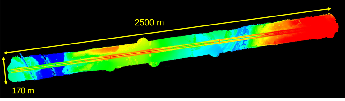
The Area of Interest
The power lines were located in a somewhat mountainous terrain at a height of 175m ASL. The area to be flown was 2500m long by 170m wide with the power lines at a height of 70m.
Plan & Fly
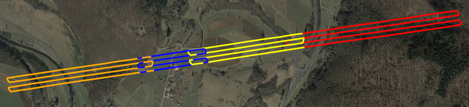
Flight planning begins in mdCockpit and is then verified in the field upon closer inspection of the project. When flight planning is complete, the mission can then begin and the user can choose to autonomously fly the project.
The Data was collected in 4 flights of the mdLiDAR3000DL, flying 4 parallel flight lines above the power line corridor at a constant flight altitude of 100 meters AGL at a speed of 6 meters per second with 60% sidelap. The flight was planned in mcCockpit as a Corridor Mapping mission with the Terrain Follow feature activated that enables the drone to maintain a consistent height above the changing grade. Terrain Follow calculates an altitude route of a mission plan based on an elevation model called SRTM. This project most probably could be done with 2 flights, but since line of sight must be maintained, 4 flights were needed. The total flight time was just over an hour, to capture the data.
Process & Visualize
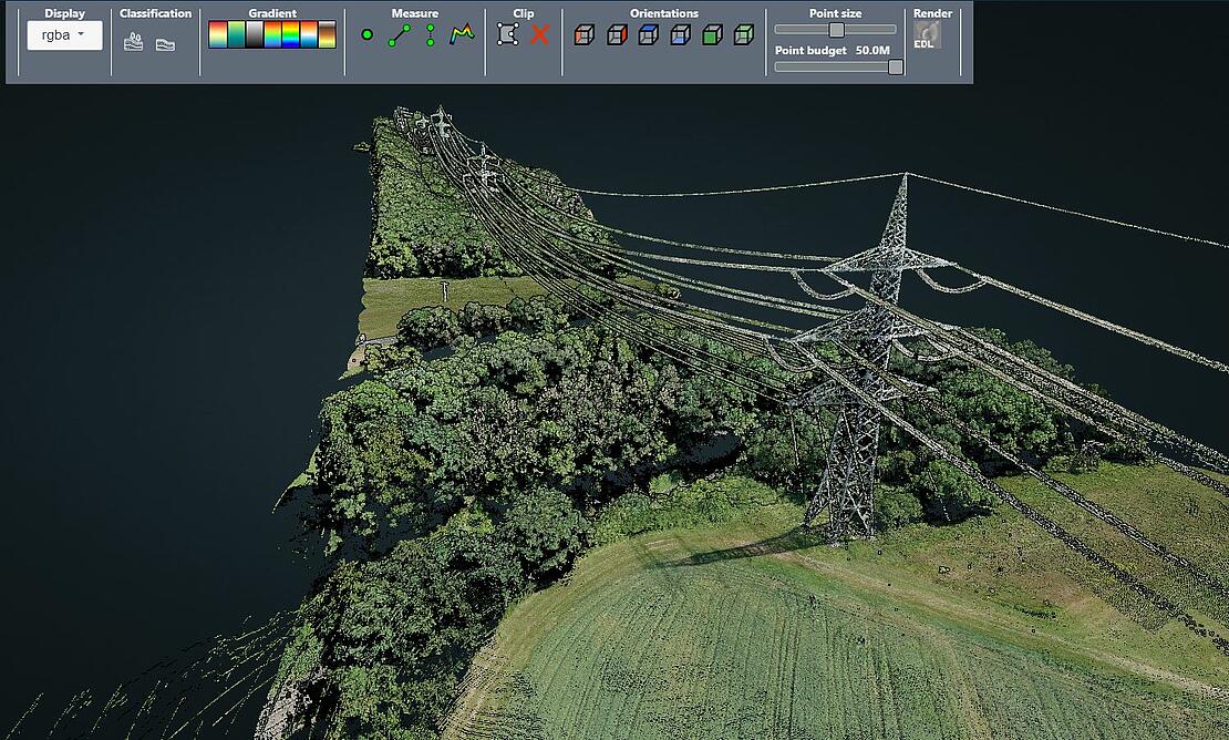
The point cloud was created and processed through the mdInfinity software suite using the following data processing modules: Trajectory Processing, Georeferencing, Precision Enhancement, Ground Classification, and Direct Point Cloud Colorization. Using the mdInfinity ground classification routine, vegetation can be removed and the bare earth data can be further processed to develop digital terrain models. Finally, using Point Cloud Colorization (without occlusion) you can colorize the point cloud to visualize the data in its natural colors.
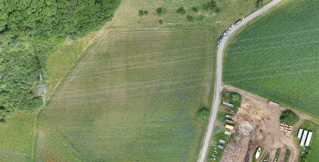
The mdLiDAR3000DL is also fully integrated with a SONY RX1R II camera to enable colorization of the point cloud and create highly detailed and accurate orthophotos. See the screen shot below for a sample image of the orhomosaic created from this mission.
If you would like more information on the mdLiDAR3000DL to learn how to create rapidly produced, colorized point clouds, CLICK HERE to speak with one of our friendly representatives.