As seen on business-geomatics.com:
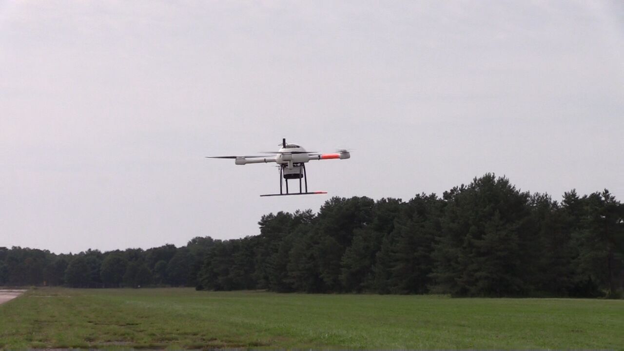
Microdrones will present its mdLiDAR100 drone lidar solution at this year's ILMF, which the company says is optimized for end-to-end land surveying, construction, oil, gas and mining applications. The product consists of a drone, a fully integrated lidar payload, data processing software, and all the necessary support and training to assist the user throughout the process.
The mdLiDAR1000 weighs six kilograms and according to the manufacturer creates 25 minutes of operation or up to ten kilometers of total flight under standard flight conditions. It includes a lightweight, 85 ° field-directed lidar sensor and a survey-grade Applanix APX-15 UAV single-board module that includes both a GNSS satellite receiver for localization and an IMU for orientation. If the drone is flown at a height of 40 meters and at a speed of three meters per second, it achieves an accuracy of up to six centimeters, according to Microdrones.
For our German speaking friends, view the original release here.
Interested in making drones a part of your business? Start a conversation with our team of professionals now.