Major solar energy plant builder Enerparc AG is integrating high-end unmanned aerial vehicles into its operations to save money and be more competitive
by Peter Gutierrez
As seen in the August/September 2020 Inside Unmanned Systems

Enerparc AG builds solar energy plants and is currently implementing 400-plus projects in more than 20 countries worldwide. “We build advanced solar energy systems, including large-scale, free-field photovoltaic power stations, also known as solar parks or solar farms,” said Stefan Neumann, senior project engineer for Enerparc. “We have successfully connected more than 3,000 mega-watts of PV power to the electricity grid, and we have recently started to use drones for ground surveying when preparing a new project.”
Large-scale photovoltaic (PV) systems built by the Hamburg, Germany, company differ from most building-mounted and other decentralized PV applications in that they supply large amounts of power at the utility level, rather than to a local user or users. “We build systems up to 100 hectares [almost four-tenths of a square mile] in area,” Neumann said, “and we try to design them in such a way as to minimize any shade cast on the solar panels, both by other objects within the structure itself and by objects or ground features in the surrounding area.”
Among other things, this means the terrain and the topography of the proposed site need to be assessed in detail before a plan for placing the panels can be developed. “In planning these installations, understanding the surface characteristics of the building site is a very important element, something we need to look at very closely before we can start working,” Neumann said.
According to conventional methods, he explained, a trained surveyor would be employed to carry out this work manually. Depending on the specific site characteristics, a traditional survey of an area of 50 hectares could take up to three weeks to be completed. “This is a huge investment in time and it is also expensive to pay for,” Neumann said.
Stefan Neumann, senior project engineer for EnerparcWhat we saw was that by the time we had surveyed about 200 to 250 hectares, we had already recouped the cost of buying the drone systems. So, there is no question about the value of these systems in terms of saving money and making our business more competitive.
Meanwhile, tangible government support for the installation of renewable energy systems is no longer what it used to be. “Any subsidies, tax credits and so on are much less significant today than they were some years ago,” Neumann explained, “and in addition we are seeing a lot of new competition in the solar energy industry, so all of this means our cost pressures are steadily increasing. Therefore, if we want to be successful, we have to continue to optimize every part of our work, and this includes the surveying of the site.”
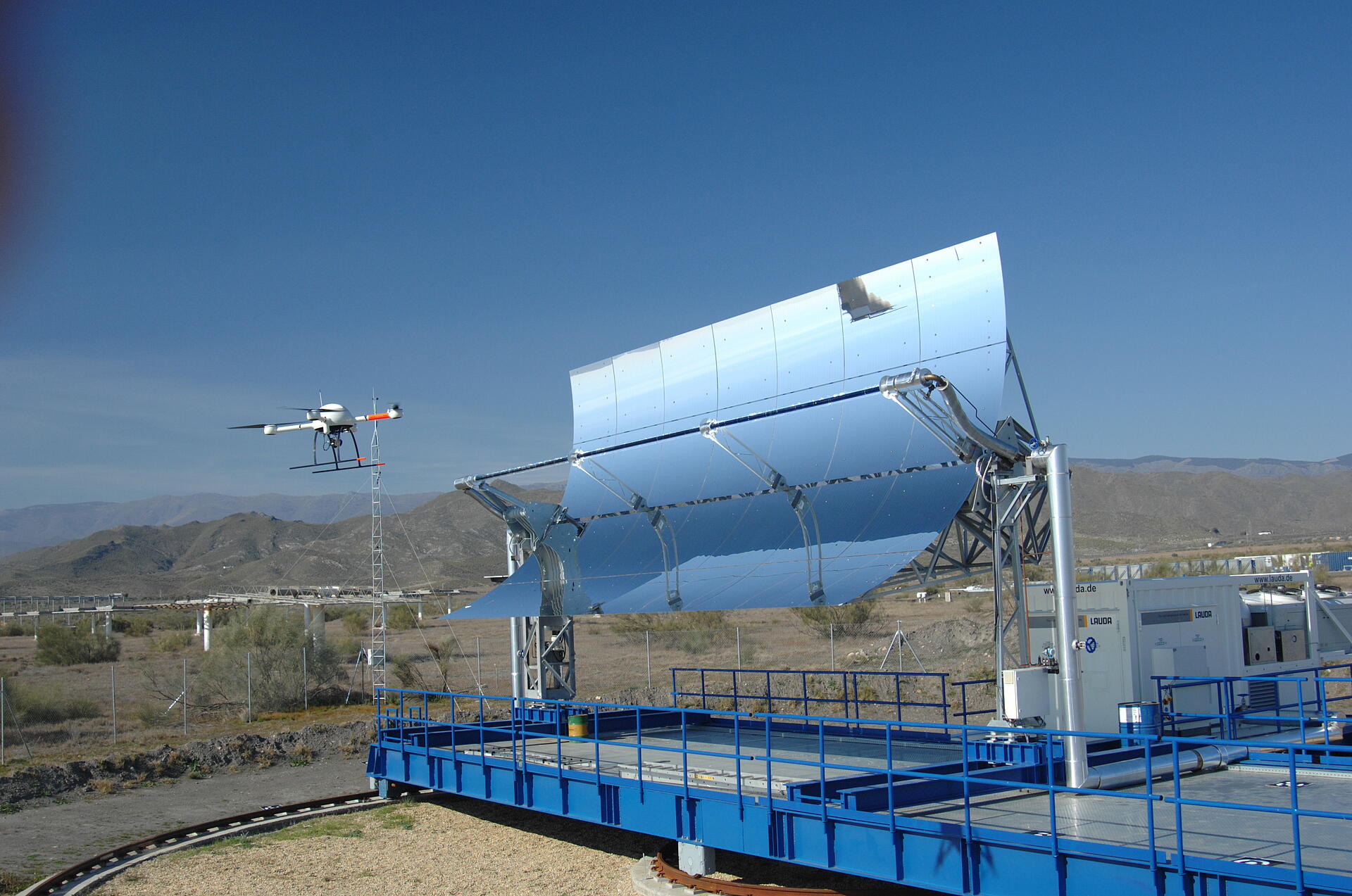
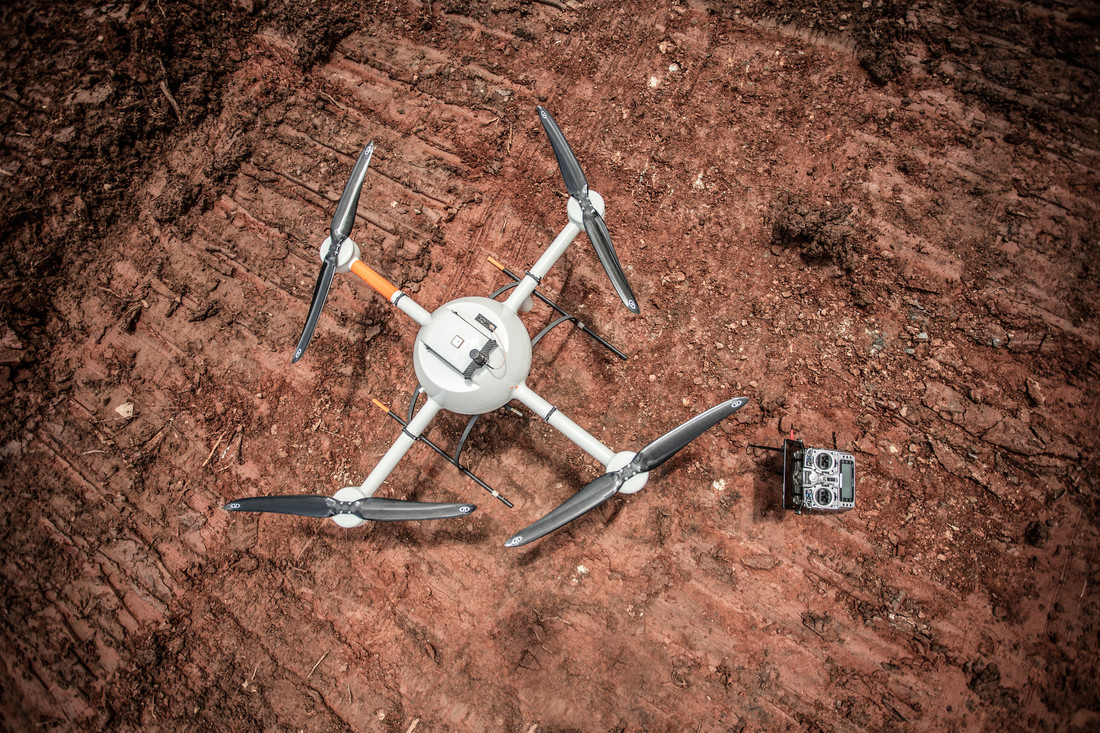
Consequently, Enerparc moved to integrate high-end unmanned aerial vehicles into its operations. Now Enerparc uses two different drone systems in its pre-construction surveying operations, both supplied by Microdrones. “Depending on the area we have to survey, we can decide to use one or the other of these systems,” Neumann said. “If, for example, we are building on a flat, level field or a field with very little vegetation, we can use our mdMapper1000PPK system for photogrammetry surveying. This gives us a really great aerial picture of the site with grading and elevations.
“On the other hand, if we have a site with heavy vegetation, then we can go to our LiDAR system, the mdLiDAR1000. This one allows us to literally see through the vegetation so that we can assess the ground surface underneath.” This adds efficiency and saves time. “With the LiDAR system we can go right ahead and look at the real ground surface without needing to go out there and clear the site first. So, we can create an accurate model very quickly.”
The business case for using drones in the company’s surveying operations, Neumann said, is pretty straight-forward. “Last year, Enerparc covered 350 hectares of land with its solar power stations,” he said, “which corresponds to 350 MW/DC of power-generating capacity. What we saw was that by the time we had surveyed about 200 to 250 hectares, we had already recouped the cost of buying the drone systems. So, there is no question about the value of these systems in terms of saving money and making our business more competitive.”
RISING MARKET
European countries together have emerged as one of the most dynamic and fastest-growing PV power markets in the world. In 2018, solar energy production in Europe broke all previous records, spiking during the summer months when the sun was out in all its glory and a major heat wave was sweeping across the continent. In that year, Germany accounted for a whopping 26% of all solar energy produced in Europe. 2019 showed the market continuing to grow, with a large part of that being attributed to ground-mounted solar systems. For companies like Hamburg-based Enerparc, this is very good news indeed.
“This year we want to build enough stations to deliver another 500 MW/DC of power generation in Germany,” Neumann said, “and to do this we are fully committed to making maximum use of our drone systems. As a matter of fact, we recently hired a new staff member whose only task is to oversee drone survey flights and data postprocessing.”
Neumann explained, “Typically, our pilot starts by retrieving a Google Earth KMZ file. “With this file, the pilot can manage all the legal aspects,” he continued, “including things like starting the approvals process. In Germany, you can apply in each federal state for a surveying permission for two years. In some special cases, you might need an additional permission. The pilot can import the Google Earth KMZ file directly into the Microdrones flight software mdCockpit, which is very easy to do, and then he just has to adjust some settings based on the payload. In fact, the complete process from importing the KMZ to creating the final flight plan takes no more than five minutes. Once this is done, the flight plan can be transferred to the drone via Bluetooth and we are ready to fly.
“The drone flies in waypoint mode, pretty much on its own. All the pilot has to do is watch it and then he takes over controls for the final landing. In 20 minutes, we can survey an area of 10 to 12 hectares. With four or five flights, you have got your 50 hectares covered down to an accuracy of 2 centimeters. The post processing takes one day, and that is mostly taken up by the calculation time of the computer.”

Samuel Flick, European Sales Manager, MicrodronesMicrodrones offers a long-endurance and integrated solution with a variety of sensors and the main thing is that with our system Enerparc can massively reduce the time they spend on surveying, and it also means they save a lot of money.
HARDWARE TALK
The draw of the single source provider is becoming a recurring theme in today’s high-end drone market. Manufacturers now understand that many customers want an all-in-one solution, and Microdrones has offered exactly that to companies like Enerparc. These businesses are ready and willing to take the next step—but only if it doesn’t involve facing a raft of new operational problems and overwhelming complexity.
“When we started to look for a survey drone, one of our priorities was that we wanted a complete package from one single source, including the equipment, the software and the training,” Neumann said. “After looking at a lot of possible suppliers, we decided that, for us, Microdrones offered the best package in terms of quality and price.”
Samuel Flick is Microdrones’ central European sales manager, and he remembers when he first came into contact with Enerparc. “It all started with a phone call and a query,” he said. “We had a few discussions and we understood pretty quickly what Enerparc needed. Part of that would be the ability to switch between photogrammetry and LiDAR sensors. We performed a demonstration, and then we looked at the data together and they decided to buy our system. Of course, we think they made the right decision.
“Microdrones offers a long-endurance and integrated solution with a variety of sensors,” Flick added, “and the main thing is that with our system Enerparc can massively reduce the time they spend on surveying, and it also means they save a lot of money.”
“We see it as a relationship,” Neumann said. It was very important to sit with Microdrones initially to analyze our real needs and to define the equipment. The day-to-day contact has remained very good. Our pilot stays in touch with the Microdrones support team and they are always available whenever we need help or a clarification.”
If your construction project would like to take advantage of drone surveying equipment, CLICK HERE to speak with a specialist from Microdrones