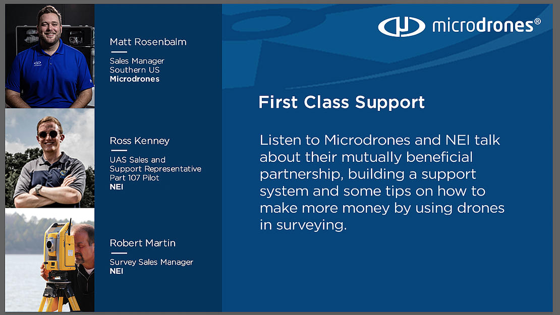
First Class Support
In this episode of Propelling listen to Microdrones and NEI talk about their mutually beneficial partnership, building a support system and some tips on how to make more money by using drones in surveying.
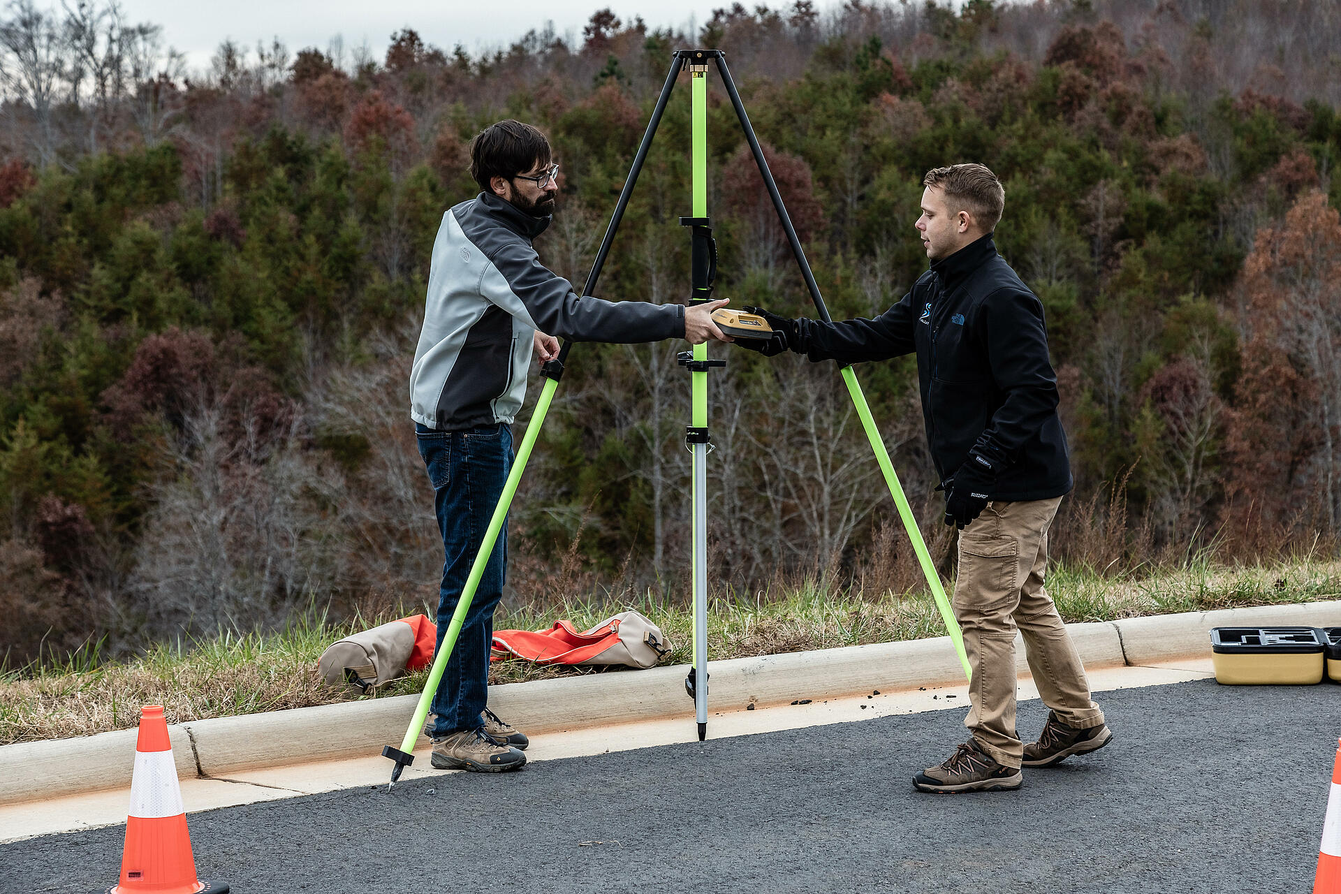
Surveying has always been a labor-intensive, precise industry. The technological advances from Microdrones have increased precision while reducing the manpower required. On this episode of the Propelling podcast, Matt Rosenbalm, Microdrones Sales Manager for the Southern US, Ross Kenney, UAS Sales and Support Lead for Navigation Electronics, and Robert Martin, Licensed Surveyor /Senior Technical Lead Survey Sales for Navigation Electronics, sat down with Sean Heath and they discussed a few of the ways that Microdrones is changing the face of surveying.
While surveying maintains the same exacting demands as always, today’s tools are much more efficient. “As technology progresses” explained Martin, “I can see more and more uses for being able to take a drone, fly it around a piece of property, bring it back to the office, process it, and be able to create a deliverable that would have taken a surveyor weeks to do, he might be able to actually accomplish this in days now.”
Listen to the podcast in the player below or read all about it in the post.
Robert Martin, Licensed Surveyor /Senior Technical Lead Survey Sales for Navigation ElectronicsI can see more and more uses for being able to take a drone and fly it around a piece of property, bring it back to the office, process it, and creating a deliverable that would have taken a surveyor weeks to do. He might be able to actually accomplish this in days now.
The Business of Drones
Microdrones and NEI work together to help sell, promote, service and facilitate drone-based surveying. As Robert noted, drones can help make surveying much more efficient. From the distributors point of view, Ross also wants to make sure that he is able to provide world class support for their clients.
“We understand that drone-based surveying presents a new opportunity to get projects done more efficiently and a lot more safely in a lot of cases,” Kenny said. “Downtime and minimizing downtime is one of the most important things, and you can do so only by providing a great level of support. With Microdrones focused on customer support all throughout the entire world, and now also with our clients here in the southern United States, we’ve built a foundation for drone-based surveying, always providing our clients with world-class support, because we understand that their time is very valuable, especially in the field on these projects, and that's one of the main value propositions that we sell to our clients.”
NEI has been around since the late 1980s, and is well known for the customer support that they provide to their clients. That was a key component in establishing their relationship with Microdrones who also strongly emphasizes first class support. Together, they assist prospects and customers throughout the entire sales process from first contact, to product demonstrations, delivery and continued support and development.
The relationship is proving fruitful as the southern United States has seen exponential growth in 2019. Rosenbalm attributes this to the strong relationship that both he Ross and Robert have cultivated.
“With the help of NEI,” says Rosenbalm, “we've really got in front of a lot more customers. With our solutions, we pride ourselves on selling a solution that's meant to grow with your organization. In order to do that, you have to be able to provide first-class support and a high-quality product in order to achieve that. We're on the same page as NEI so that we're able to keep our clients up and running as much as possible.
Surveying with Drones
The efficiency of drones in surveying is creating tremendous opportunities for surveying companies who take advantage of the technology. Robert Martin, who is the Senior Technical Lead Survey Sales for Navigation Electronics is also a Licensed Surveyor which gives him a unique perspective.
“I see the drone technology taking a lot of the load off the guys in the field,” says Martin, “for a lot of different surveying applications and bringing it back to office. I can see more and more uses for being able to take a drone and fly it around a piece of property, bring it back to the office, process it, and creating a deliverable that would have taken a surveyor weeks to do. He might be able to actually accomplish this in days now.”
Drone use in surveying is still relatively new, so being familiar with the technology, operations, output and workflow is critical for successful results. Microdrones provides professional training on all of their systems to ensure safety, best practices, and thorough support. Partnering with a distributor, such as NEI, helps familiarize more prospects and customers with drone based surveying and get systems in the field.
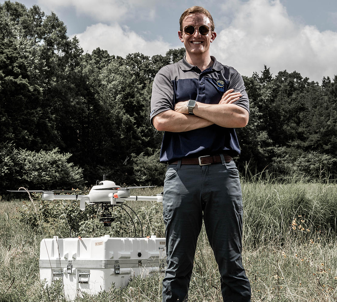
“We actually have our own Microdrones system here at NEI,” says Kenney. “To give you a little bit more background on myself, even before I started working for NEI, I was being hired on an as-need basis to do the demos for their clients, and I've also gotten a chance to do many test flights on my own in different areas, personally. It is a very exciting new technology. I'm always interested to see in new environments how the drone will operate, and so I'm learning something every single time I fly this system, because no one job is the same.”
Searching for Gas
That’s why Microdrones provides three families of integrated solutions for LiDAR, photogrammetry and inspection projects. Their systems help collect data more efficiently and safely while cutting costs, saving time, and converting data into useful information.
“Surveying and mapping is what Microdrones spends most of our time focusing on,” says Rosenbalm. “It's kind of what sets us apart in this industry and we're really good at. However, we're starting to get a lot more interest from the oil and gas industry to fly pipelines and conduct inspections for methane gas leaks.”
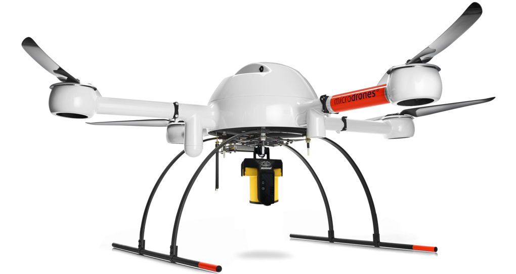
Microdrones not only provides surveyors with high precision LiDAR and photogrammetric integrated systems, they also have a methane gas solution that can detect leaks along pipelines. The mdTector1000CH4 LR, is a fully integrated aerial methane inspection package, purpose-built for inspecting methane gas infrastructure.
We provide a solution that's able to look for leaks a lot simpler and a lot safer than it's done traditionally on foot,” explains Matt. “The mdTector is really starting to gain some momentum here in the industry. And I know NEI has a lot of experience actually using that solution now over the last couple of months and we’re excited for the opportunity.”
That experience took place in the Permian Basin in West Texas where Ross worked with a client on a methane inspection job, over the course of nine days and many miles of pipeline.
“What I was very surprised to see,” says Kenny, “is just how many leaks we were able to find. Literally every time we put the drone in the air, we were able to find three, four, or five leaks per flight, and each flight we were flying maybe two, two and a half miles. In about a day's time we would cover 10 miles very conservatively.”
This project helped train the client and show them how to operate the drone in an area where they will fly 300 miles of pipeline on a regular basis. Ross thinks there’s a very bright future for the methane sensor with a lot of opportunity throughout the Permian Basin up into the North Dakota and South Dakota area.
Making Money with a Drone
The saying, ‘time is money’ is universal in many industries. However, in the surveying business time is a huge factor when it comes to completing field work, collecting data and finalizing post-processing. Bringing integrated systems like Microdrones into the workflow streamlines the process and enables surveyors to do more work in a fraction of the time.
NEI and Microdrones bring added value to their customers by providing a system that is fully integrated from the software used to plan missions, to executing flights, and to post-processing that data.
“Having a fully integrated solution makes your life a lot easier for collecting your data and also for supporting yourself,” explains Kenney. “Furthermore, you're able to do more projects throughout the year which will help you pay that investment back quickly and expand your business without hiring additional personnel because you're able to do more in less time.”
Robert agrees and thinks that systems from Microdrones provide the right tools for the jobs that surveyors require.
“It’s seamless integration of all the tools that is key for surveyors,” says Martin. “The experience and knowledge at NEI pull everything together. So, how this thing makes you money is it keeps you working. One of the things I tell surveyors all the time is I want to be working on my job, not on my equipment. Surveyors are surveyors. We're designed to measure- that's what we do. Most of the time we are not high-tech guys. However, the Microdrones system and the way it works and because of how we've got everything put together at NEI, I believe that allows our customer to make money.”
If you or your company is ready to start making money with Microdrones CLICK HERE to learn more