Do you need to classify the data in your point cloud?
Microdrones is pleased to announce a special webinar on how to use the mdInfinity Data Processing Module, Ground Classification. mdInfinity is our unique data processing software solution to help you quickly and efficiently process geospatial data.
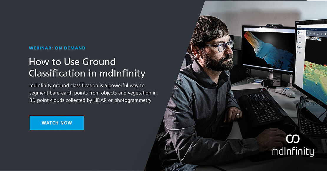
mdInfinity Ground Classification is a powerful way to segment bare Earth points from objects and vegetation in 3D point clouds collected by LiDAR or photogrammetry.
The mdInfinity Ground Classification tool is based on a combination of several algorithms, including like frontier point analysis, segmentation, TIN densification. As such, it takes benefits of each of these methods and is able to classify ground points in very challenging environments.
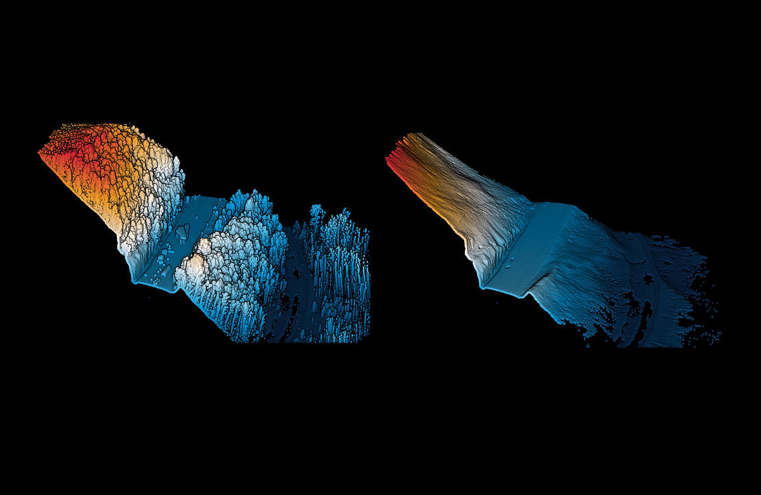
In particular, steep slope cliffs are correctly classified which enhance the resolution of ground Digital Terrain Models in proving more true positive ground points than other approaches. It can be customized for different data acquisition systems while proving optimum results in terms of classification rate. In this webinar we will review:
- What is Ground Classification?
- How to use it?
- The workflow.
- The mdInfinity difference.
To learn more, register for this informative webinar on Ground Classification or schedule a time to meet with one of our sales representatives today.