At Microdrones, the marketing team is always looking to create, share and distribute compelling content. We also get excited when we can feature our customers using Microdrones systems out in the field, especially when the customer creates their own content, highlighting the successful integration of Microdrones into their workflow.
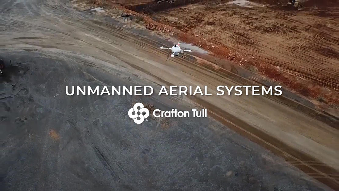
Such is the case with Crafton Tull, a civil engineering, surveying, architecture, landscape architecture, and planning firm with more than 200 employees working out of ten offices across Arkansas and Oklahoma. Recently, they created a brief video overview of their Unmanned Aerial Systems for High Precision Mapping and Surveying that featured the Microdrones mdLiDAR1000. See their pilots in action in the video below.
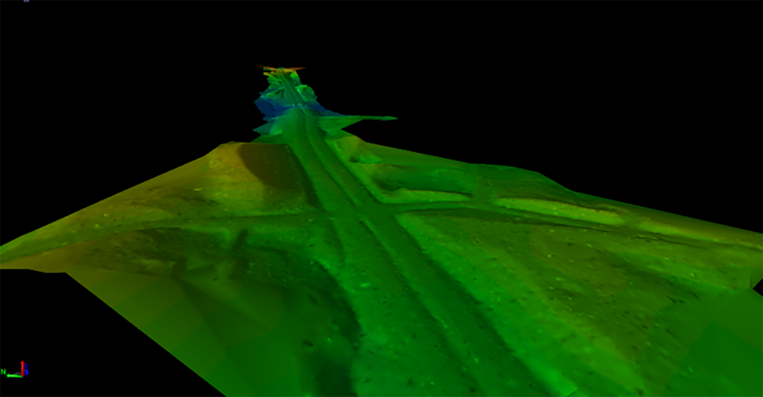
Crafton Tull’s certified remote pilots and licensed surveyors meet their clients’ turnaround and accuracy demands by deploying the latest in unmanned aerial systems technology, like the Microdrones mdLiDAR1000. These systems allow them to efficiently create contour maps, surface models, point cloud data, geo-referenced ortho imagery, topographic feature extraction, and survey-grade deliverables. For more information on Crafton Tull’s UAS services, click here.
You can also learn more about the process and workflow that Crafton Tull used to successfully map a 7-mile corridor using the mdLiDAR1000 by watching our webinar, “Using the Right Drones for the Right Job.” Click here or on the image below.

In this Webinar, Nick Tucker, Project Manager and a Vice President of the Energy Division at Crafton Tull, gave an overview of the planning, workflow, processing and results from these systems, as well as a comparison to traditional methods. You’ll learn how Crafton Tull deployed the mdLiDAR1000, condensed their time on site in half, and saved over 50% in the process.
If you’d like to share any of your latest content with the marketing team or discuss how Microdrones can help with your high precision surveying and mapping, click here to talk with one of our friendly representatives.