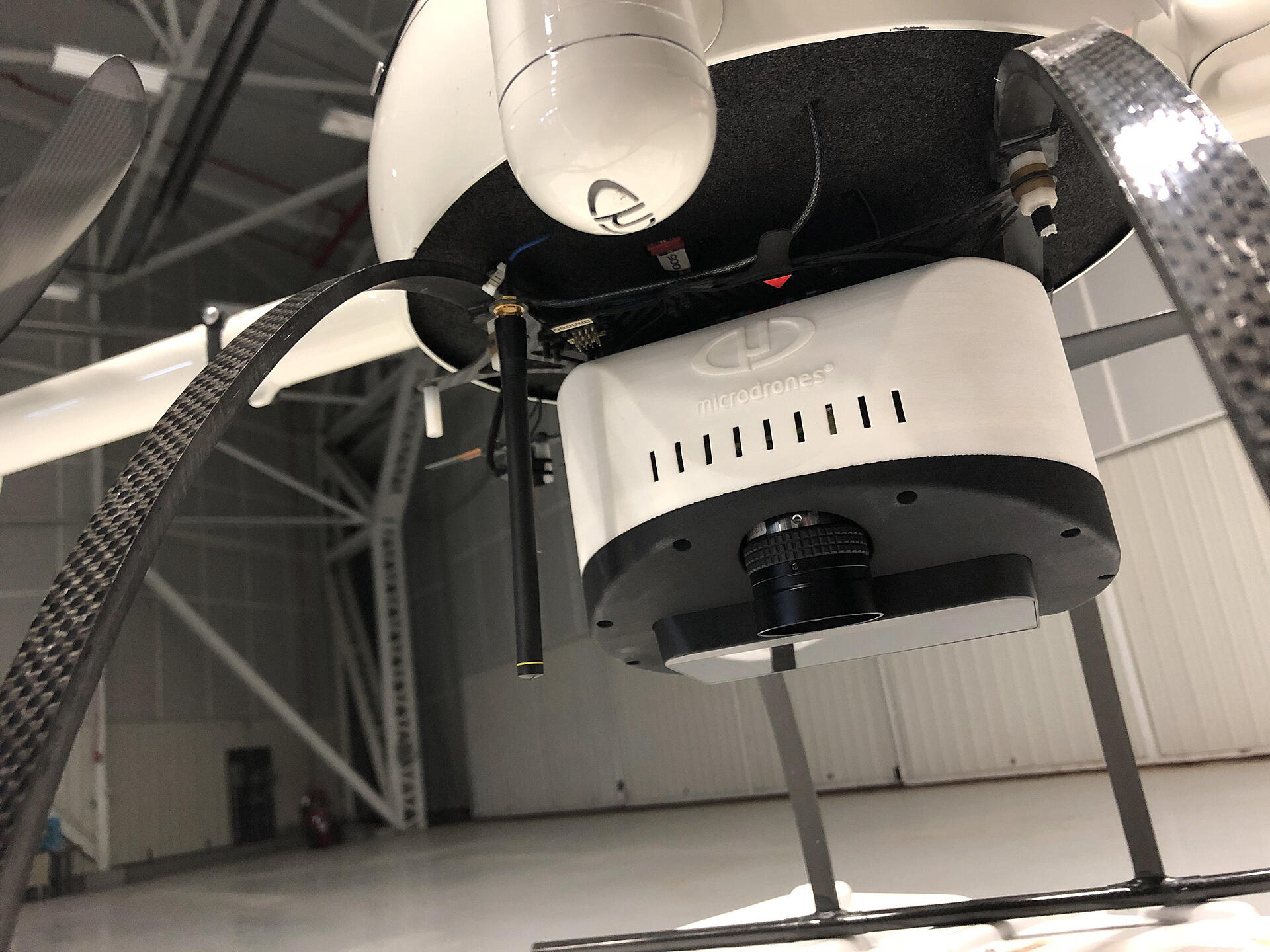
Are you or your company interested in learning how you can become more efficient by adding drones into your workflow? Recently, Microdrones hosted their second Wednesday Webinar to share how Crafton Tull successfully implemented UAV based Lidar, condensing their time on site in half and saving over 50% in the process.
If you missed the “Using The Right Drones For The Right Job” webinar from April 3, or would like to share it with a coworker, click the link below.

In this Webinar, Nick Tucker, Project Manager and a Vice President of the Energy Division at Crafton Tull, gave an overview of the planning, workflow, processing and results from these systems, as well as a comparison to traditional methods.
In this one-hour webinar we covered:
- The challenges of drone-based LiDAR and how to overcome them
- How drone-based LiDAR improves workflow, reduces field and process time
- Review the Crafton Tull Tennessee Corridor Mapping project and study, workflow and results
Microdrones will be hosting another Wednesday Webinar shortly. For more information or to learn how you can put drone-based LiDAR to work for your business, contact one of our team members today.
ABOUT THE HOSTS:
Matt Rosenbalm
Matt Rosenbalm is the Microdrones Sales Manager for the Southern United States and has extensive experience in the geomatics and construction markets, specifically in drone sales and operations. Prior to Microdrones, Matt was employed in geospatial distribution, where he helped develop an emerging drone market to provide commercial UAV surveying and mapping solutions for customers throughout Georgia, Alabama and Florida. Today Matt is instrumental in growing the adoption and implementation of drones for surveying and mapping. He makes difficult concepts easy to understand for distributors and end users across markets and geographies.
Sion Rowlands
Sales Manager, for Europe, has an extensive Geospatial background beginning with an education in Geomatics and Geospatial surveying. Throughout his career he’s focused on business development and Geospatial consulting throughout the United Kingdom. Now, in his role as Sales Manager, Sion showcases, promotes and sells Microdrones integrated systems throughout the European Geospatial community.
Nick Tucker P.S. Vice President Energy
Nick is a Project Manager and a Vice President of the Energy Division at Crafton Tull. Nick is a member of the Arkansas Society of Professional Surveyors, the National Society of Professional Surveyors, and The American Society for Photogrammetry and Remote Sensing. He has a Bachelor’s of Science in Agricultural Business from Arkansas State University and a Land Surveying Technology degree from the University of Arkansas at Morrilton. Nick has over 16 years of experience in all types of surveys including ALTA/NSPS surveys, Boundary Surveys, Construction and Route Surveys, Transmission Line surveys, and Residential and Commercial Design surveys. He has extensive knowledge in all Autodesk software including AutoCAD, Revit, Civil 3D, and Recap. Nick manages survey projects for multiple large-scale National retail companies across the United States as well as manages the 3-D scanning and Remote Sensing departments at Crafton Tull.
- Multi-State Licensed as a Professional Surveyor
- FAA Certified Remote Pilot
- 4 years’ experience in sUAS operations with over 500 flights conducted in the field
Jeff Davis
Jeff Davis is a UAV Survey Coordinator for Crafton Tull. As a certified remote pilot, he assists with a wide variety of surveying projects that utilize unmanned aerial systems. Jeff has more than 16 years of surveying experience including ALTA/NSPS surveys, boundary surveys, construction and route surveys, transmission line surveys, oil and gas pipeline and well surveys, and site development surveys. He has extensive knowledge in all Autodesk and Trimble software including AutoCAD, Civil 3D, Recap, Trimble Business Center, and Realworks.