Surveying with Robert: MICRODRONES
Robert Martin, PS, hosts a YouTube Channel aptly titled “Surveying with Robert.” He’s taken his passion for surveying and created content that not only entertains but is also informative for his fellow surveyors and helps them understand their equipment and use more of the existing features they already have.
Recently, Robert devoted an entire show to Microdrones, focusing on Drones & Data, where he compares data collected traditionally using GPS with data collected from the Microdrones mdMapper1000DG. He also demonstrates how to bring an image into Civil 3D. Watch the episode below:
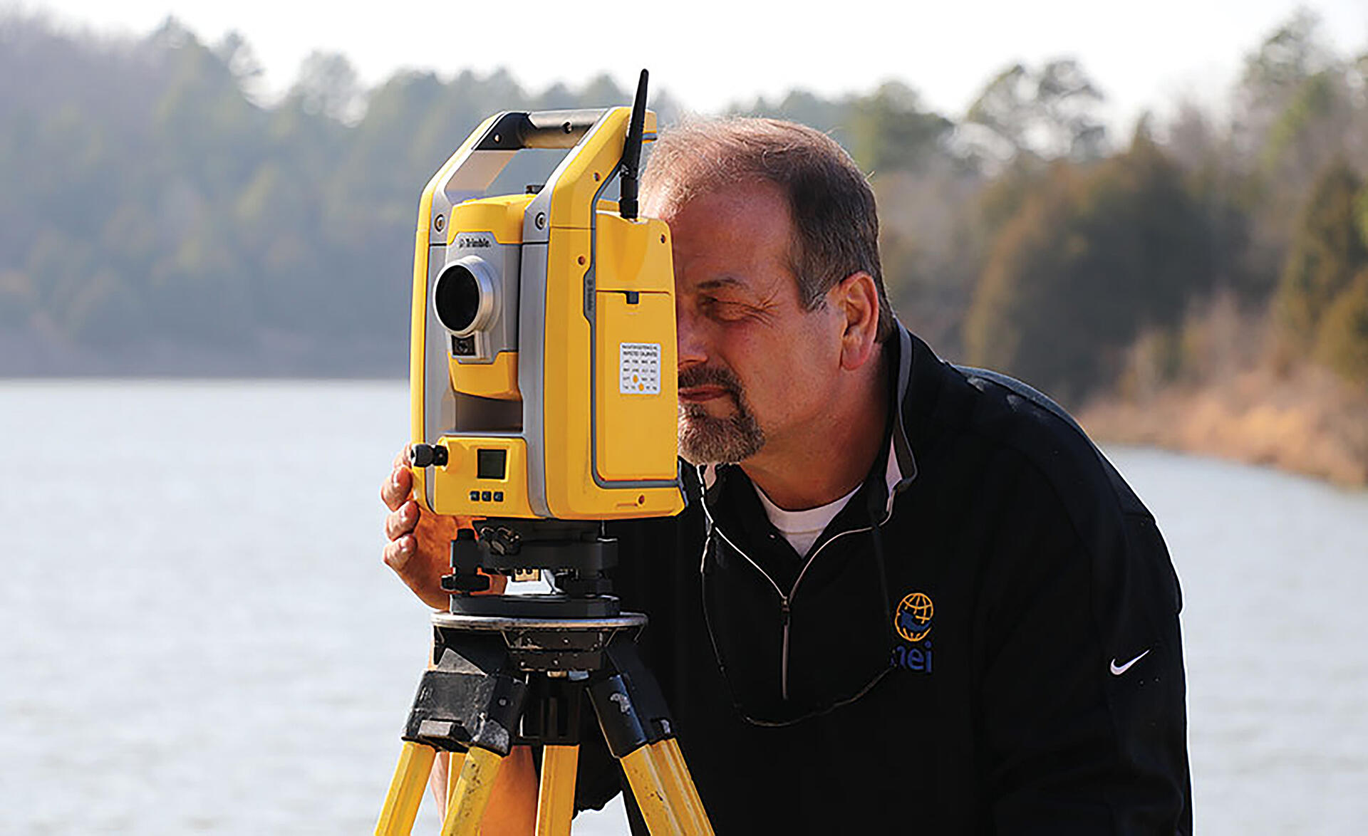
The start of the episode features some footage from the mission piloted by Ross Kenny, a UAV specialist with Microdrones Distributor NEI. Ross used the Microdrones workflow of Plan, Fly, Process and Visualize to provide Robert with the data for analysis.

Robert Martin, PSThere’s nothing like a drone to bring out the inner child of a surveyor!
The data was captured with a microdrone mdMapper1000DG, with Applanix APX-15, and Sony Rx1Rii 42.4 MP camera with a 35mm fixed Zeiss lens. It was then processed with Trimble UAS Master and the pointcloud data was imported into Trimble Business Center and GeoTiff imported into Civil 3D.
Robert starts the show by exclaiming, “there’s nothing like a drone to bring out the inner child of a surveyor.” He’s clearly excited about drones and data. After a quick intro, he takes a spin at flying a miniature drone in his office. However, he obviously understands that Microdrones are not toys, and demonstrates how they are used as professional surveying tools.
This can be seen as he features the point cloud visualization. “This pointcloud is incredible,” explains Robert as he begins the import process. The quality of the data is so high that Robert reminds his audience they are looking at a point cloud, not a photograph. “It’s about 583 million points. I think it is just crazy how detailed this thing is, how I can actually see the cracks in the concrete.”
Robert then compares the surveyors shot to the mdMapper1000DG and notes that both data sets were collected independently. “What really amazes me,” Robert says, “is the horizontal accuracy of the data. That and the clarity of the point cloud.”
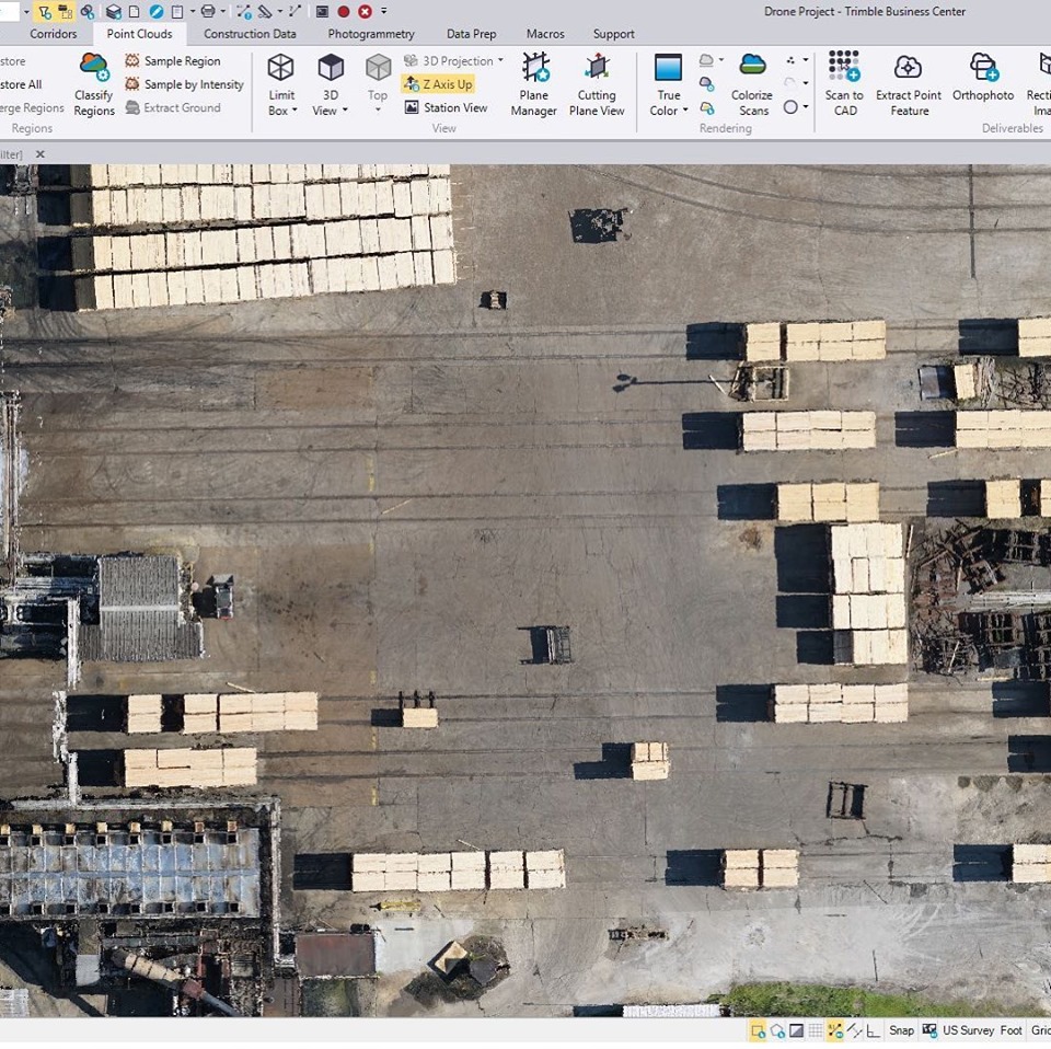
It’s also simple to create some lines using the pointcloud. With a few mouse clicks to line string, Robert creates some new layers to trace the road and shows how to export the project to Autodesk Civil 3D. Once opened the Autodesk software quickly imports the line he created from Trimble Business Center. Pleased with the results, Robert then shows some tips on how to bring in an orthomosaic at a resolution the software can process.
Robert imports the surveyor’s drawing of the site into his project and illustrates the accuracy by laying the lines over the orthomosaic, where they match up very precisely.
Robert concludes the video with thanks to NEI, Microdrones and the surveyor, then redirects his attention to the data. “I think this was, probably, some of the best drone data that I’ve seen. Especially considering this was something that was not Georeferenced from ground control.”
If you’d like more information on how to integrate Microdrones into your surveying and mapping work, CLICK HERE, to speak with one of our representatives.