
The Microdrones mdLiDAR3000 allows you to quickly acquire high density and accurate LiDAR data in the field and efficiently turn it into a 3D colorized point cloud back at the office or on your laptop. The final video in our new series shows the survey team at ESP Associates following the “Process & Visualize” portion of the Microdrones workflow to create the point cloud colorization using accurate system-produced orthomosaics.
ESP Associates
ESP Associates (Engineering, Surveying and Planning) is a multi-discipline engineering design and consulting firm that provides their clients with civil engineering, surveying, planning/landscape architecture, geosciences, environmental, subsurface utility engineering, and construction engineering inspection.
Customers include city, county, state, and federal government agencies, commercial and residential developers, colleges and universities, public utilities, healthcare facilities, religious institutions, general contractors, other engineers, architects, and attorneys.
mdLiDAR3000: The Complete Package
mdLiDAR3000 is an end-to-end LiDAR solution combining a drone, a LiDAR payload, a fully integrated software workflow, and world class support to consistently provide quality deliverables.
The RIEGL miniVUX-1UAV LiDAR system is an airborne laser scanner, designed specifically for integration with UAS/UAV/RPAS. The sophisticated design of the stable aluminum housing enables integration with platforms that offer restricted space or payload capabilities while the 360° field of view allows complete acquisition of the environment. The entire system enables the user to quickly acquire high density and accurate LiDAR data in the field and quickly turn it into a 3D colorized point cloud.
Chuck Dorgan, Microdrones Sales Director-Americas, explains the benefits. He says, “Our mdLiDAR solution is much faster to be able to get from collecting the data to being able to generate the point cloud. Best of all, that final point cloud is created in the standard ASPRS LAS format which is usable in any GIS or CAD software environment.”
Powerful Processing & Visualization
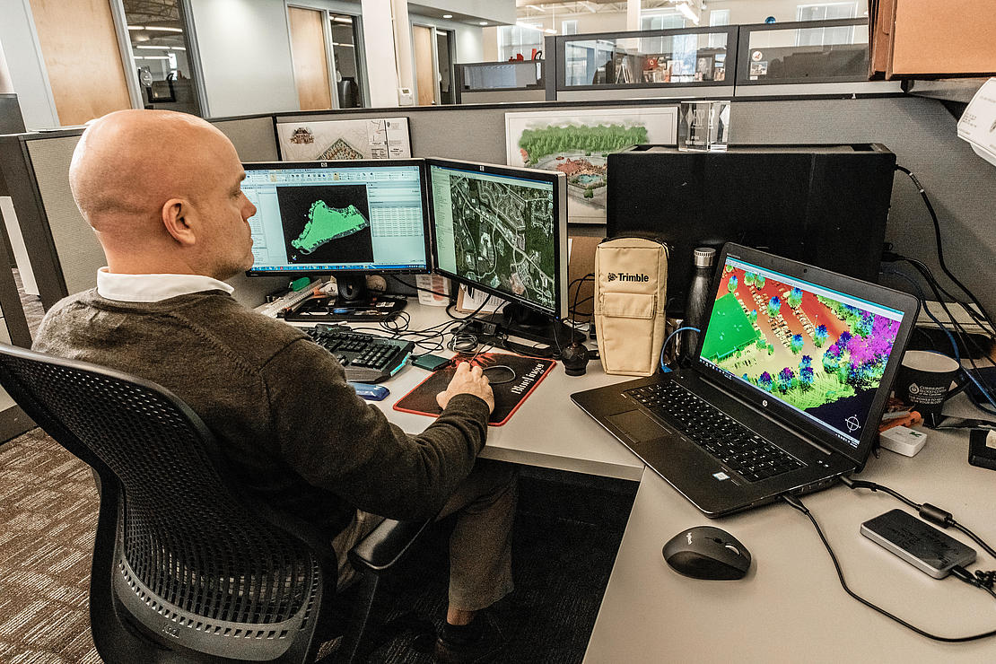
Brian Flaherty, a Survey Manager for ESP Associates, recognized the advantages that the mdLiDAR3000 brings to their business. He explains, “One of the reasons why we chose the mdLiDAR3000 is because it was fully integrated. Not only with the LiDAR system miniVUX-1DL, but it came with some processing software. All you have to do is bring in your RXP files that are stored on the unit itself and quickly process and do a quick visualization of what we have captured in the field.”
To learn more about the Microdrones workflow, speak with one of our friendly, helpful experts. Click here to request a meeting. We hope you enjoyed our latest video series with, with ESP Associates. Be sure to catch the other 2 videos that demonstrate the “PLAN” and “FLY” portion of the workflow.