

mdInfinity offers high value software to improve geospatial data workflows and the quality of deliverables. In this web paper, Ground classification of 3D point clouds by a hybrid densification-segmentation method, mdInfinity presents the ground classification tool. It enables the user to segment bare-Earth points from objects and vegetation in 3D point clouds collected by LiDAR or by photogrammetry.
GROUND CLASSIFICATION OF 3D POINT CLOUDS BY A HYBRID DENSIFICATION-SEGMENTATION METHOD
mdInfinity developed its own method to solve the problem of ground classification to cover the most challenging elements. This classification method is based on both original strategies and well-known methods that proved their efficiency. The goal of mdInfinity is to design a method that can be easily adapted to the acquisition system characteristics and that exhibit the same level of performance whatever the morphology of the 3D point cloud is.
The mdInfinity Ground classification tool operates in three phases:
- Generation of seed points
- Segmentation and addition of seed points
- TIN densification
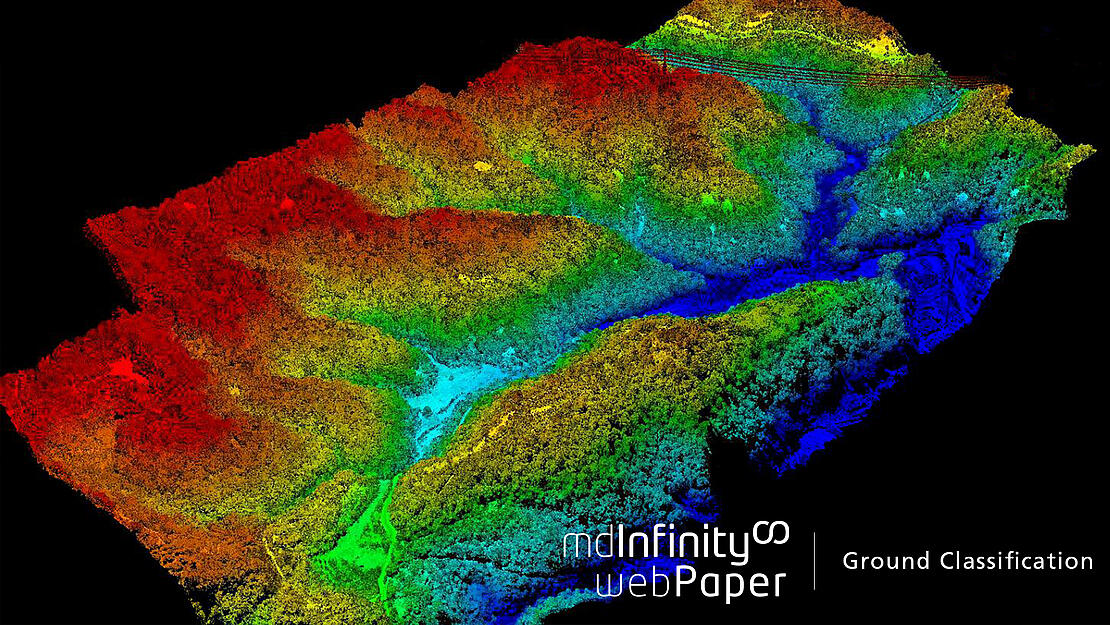
To illustrate the mdInfinity ground classification tool, the paper shows a LiDAR point cloud example acquired over a quarry, including the quarry itself, surrounded by woods, cliffs, piles and a mature maize field. The data was collected with a mdLidar1000 aaS. The figures demonstrate how the mdInfinity ground classification method correctly classifies the ground and distinguishes between the various cliffs, gravel piles, etc.
In this web paper mdInfinity will present the findings and results for:
- The mdInfinity Approach to ground classification
- A Test on a Quarry dataset
- Comparison with other methods (Global Mapper, Terrasolid & LiDAR360)
- Conclusion
You’ll learn how the mdInfinity ground classification tool is optimized to perform its best with UAV LiDAR systems like the mdLiDAR1000 aaS and is able to classify ground points in very challenging environments.
For more information on Ground Classification or to speak with a Microdrones representative CLICK HERE.