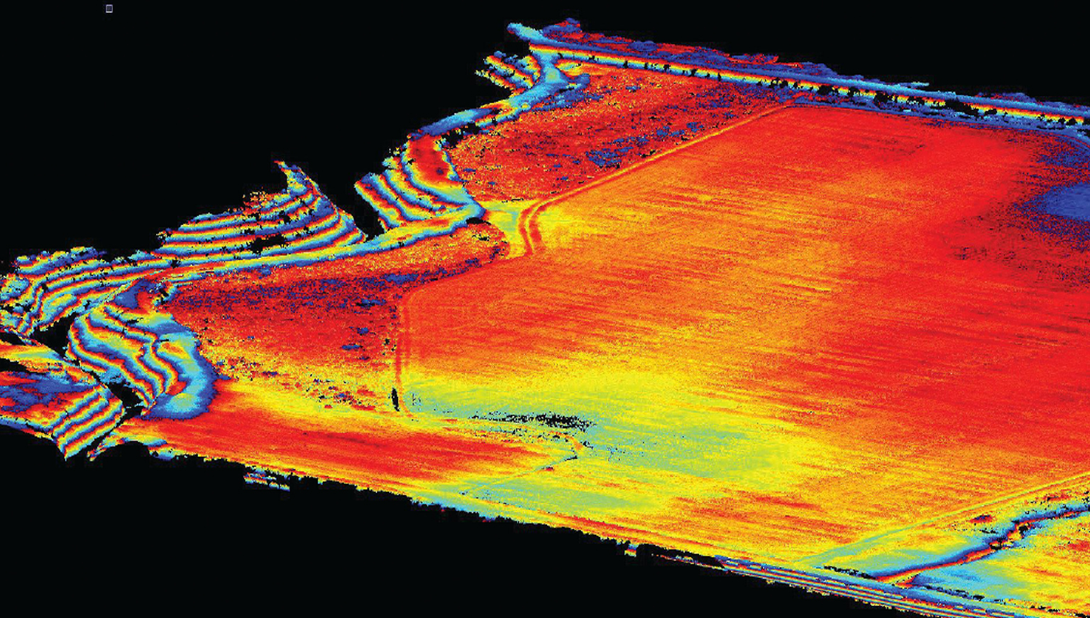
The 2019 Heights Magazine, "Innovative Imaging," a special edition from the publishers of xyHt, in collaboration with MAPPS, includes an article featuring the Microdrones mdLiDAR1000: UAS + Lidar = "X-ray" Vision. The article details how a construction/survey project proves that the mdLiDAR1000 can penetrate tree cover to yield accurate ground data with improved post-processing times compared to photogrammetric solutions.
UAS + Lidar = "X-ray Vision"
As seen in Heights 2019
By Jonathan Morris, EI, LSI
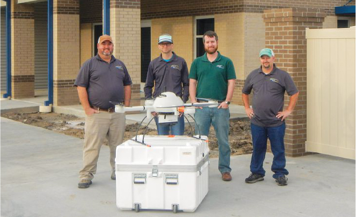
Be sure to read about this great case study from Morris P. Hebert, Inc. (MPH) and their successful LiDAR survey employing the mdLiDAR1000.
The article explains why they chose the mdLiDAR1000 integrated system, platform selection considerations, filed operations and post processing.
If you’re considering making LiDAR part of your workflow, schedule an appointment with one of our friendly representatives today.