CASE STUDY
CORRIDOR MAPPING
A copy of this Case Study is available for download below
How Crafton Tull employed both the mdLiDAR1000 and mdMapper1000DG to map a seven-mile corridor and save their customer more than 50 percent in the process.
Client: Crafton Tull
Location: Tennessee
Duration: 9 Days
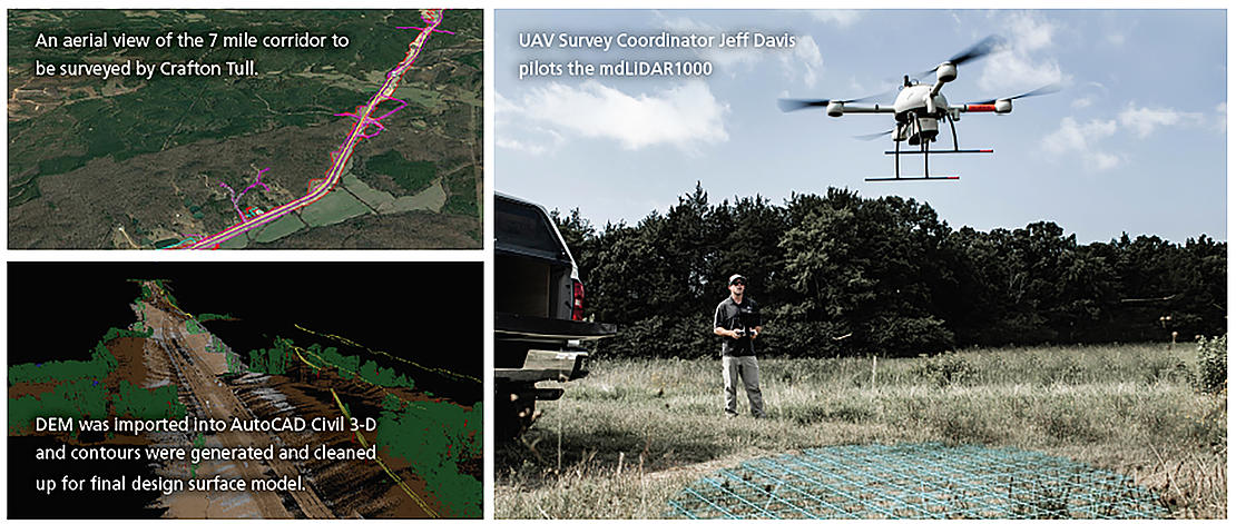
Crafton Tull was tasked with surveying a seven-mile corridor of new highway construction in Tennessee, within a two-week period. Microdrones Integrated Systems provided a more efficient way to map the corridor and meet the project deadlines.
Plan: The team planned 22 flights with multiple take-off and landing locations to complete the project—13 with the mdLiDAR1000 and nine with the mdMapper1000DG. Most of the initial planning was completed in their office before the team moved on to building flight blocks through the mdCockpit software. The ability to pre-build the blocks before stepping foot on site is just one of the ways using the mdLiDAR1000 saved them time.
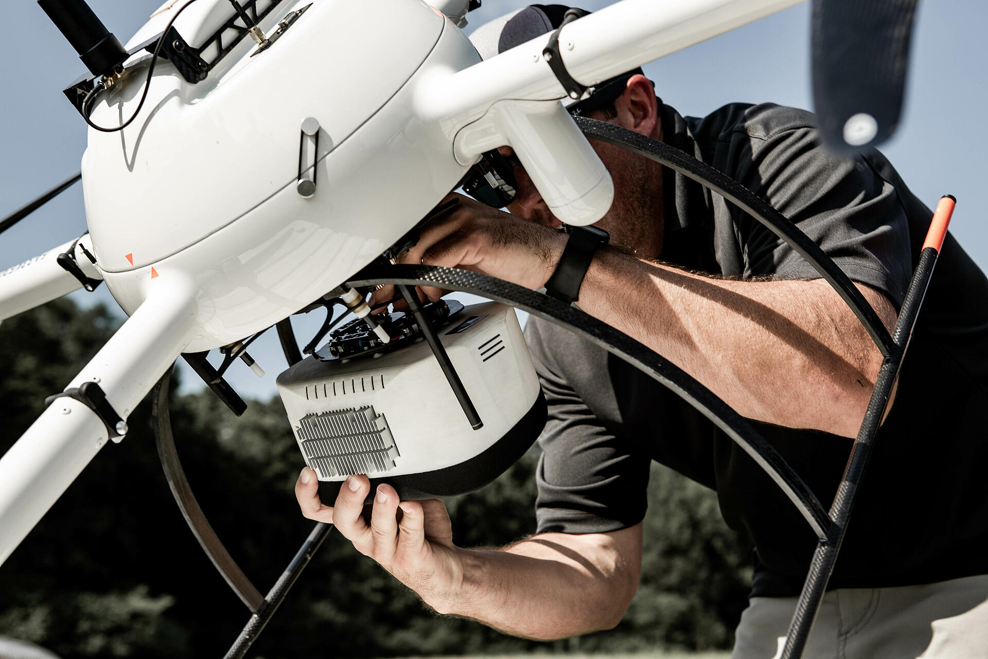
Fly: Once on site, the two-person team flew the mdLiDAR1000 at 50 meters with 60 percent lateral overlap. They used the same take-off and landing locations for each flight, generally completing multiple flights from the same spot so the crew could monitor the UAS without having to move around. Alignment way points were used at the beginning and end of each flight block to make sure trajectory and orientation are accurate during post processing.
They also used a feature called terrain follow to ensure the drone stayed at a consistent height above the terrain throughout the flight. This was critical to making sure the data stayed consistent when outputting point cloud or imagery and creating the deliverables.
The mdMapper1000DG workflow was basically the same for the flights that collected the ortho imagery, except the drone flew bigger flight blocks at 120 meters with a lateral and forward overlap of 70 percent which is key in top wind extraction for imagery.
Process & Visualize: Using the data gathered in the field from the Microdrones Integrated Systems, Crafton Tull was able to provide the client with a topographic survey, a classified point cloud and up-to-date ortho imagery to create a high-resolution surface model that could be used for quantity verification.
Using conventional methods, this project would have taken about 12 working days in the field. The drone completed that part of the project in five. With the drone, Crafton Tull estimates they saved the client 66 percent in field work costs.
If you would like more information on how to use Microdrones Integrated Systems for Corridor Mapping, CLICK HERE, to make an appointment with one of our friendly representatives