The month of March was busy for the team at Microdrones. Besides supporting our distributors at trade shows and conferences, Microdrones also gets out into the field and classroom to introduce new customers to our platform, demonstrate the effectiveness of our Integrated Systems and present our technology to the users of tomorrow.
WELCONOMY FORUM AT TORUŃ, POLAND
Microdrones Eastern European Sales Manager, Dominik Wójcik, attended the Welconomy forum March 18-19, in Torun, Poland, to showcase Microdrones Integrated Systems and review the different platforms, payloads and applications.
The Welconomy Forum in Toruń is one of the largest economic conferences in Poland, that focuses on the shape and future of the Polish economy. This year’s motto for the Welconomy was “The Independent- new challenges”
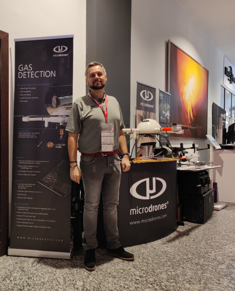
At the show, the Microdrones’s booth showcased the mdLiDAR1000 and information about methane gas detection. Drone use has seen significant growth in Poland and demand for services like gas detection is on the rise. Dominik said, “In 2016, Poland already had over 4,000 drone operators, which was the third highest in the world after Japan and the United States. In fact, since then that number has tripled to over 12,000 operators. Needless to say, we had considerable interest in our products at the forum.”
THE INTERNATIONAL CENTRE FOR RESEARCH IN AGROFORESTRY IN THE IVORY COAST
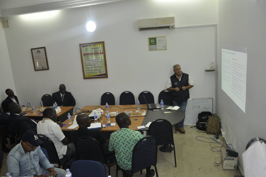
Hanno Truter, Sales Manager for Microdrones Africa, was invited by Dr. Lucien Diby from the International Centre for Research in Agroforestry (ICRAF) to do a presentation on the use of drones by professionals in various industries, including mapping & GIS, surveying, inspection, construction, mining & agriculture.
The International Centre for Research in Agroforestry, ICRAF, works towards mitigating tropical deforestation, land depletion and rural poverty through improved agroforestry systems. Its goal is to initiate and assist in the generation and dissemination of appropriate agroforestry technologies for resource-poor farmers and other land users.
The event was hosted at their offices in Abidjan, a city on the southern Atlantic coast of Côte d'Ivoire and was attended by 23 representatives from various industries.
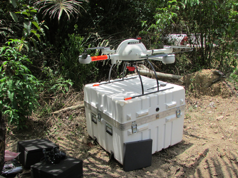
Côte d'Ivoire is the world’s largest producer and exporter of cocoa and ICRAF is currently using two mdMapper1000 systems to monitor the expansion of cocoa plantations and keep track of deforestation in the tropical rain forests.
They are also making use of two +m accessories. +m is a Micasense Rededge sensor for multispectral aerial imaging, which is a great tool for monitoring crop health. Hanno said, "Using our mdMapper1000 is a non-destructive method that allows for a faster, easier, and more accurate assessment, as compared to traditional surveying methods. World Agroforestry can then use accessories, like the +m to evaluate the health of current plantations rather than felling more trees and digging new fields."
CLSA-NALS CONFERENCE - MARCH 23-26, 2019
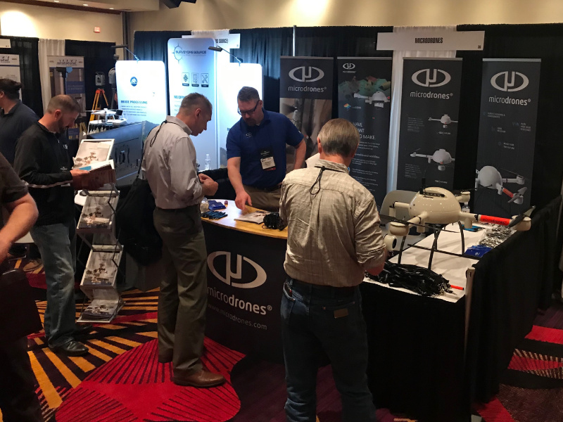
Chuck Dorgan, Microdrones US sales director, and Rick Rayhel, sales manager for the Western US, both attended the CLSA-NALS Conference at the end of March.
The CLSA-NALS Conference is a joint show sponsored by both the California Land Surveyors Association and the Nevada Association of Land Surveyors. Each Association promotes and enhances the profession of surveying and helps elevate the public's understanding of their profession. This year’s conference was titled “Beyond Boundaries. Shaping the Future Together.”
At the event, Chuck and Rick showcased the Microdrones mapping and LiDAR solitions to a wide array of land surveyors, engineering companies, local & state officials, and potential Microdrones Dealers.
“What I like about this show,” Chuck said, “Is that you can get two birds with one stone by talking to surveyors and companies from both California and Nevada. Both regions showed a lot of interest in the LiDAR and Rick and I were able to talk about the benefits of our integrated systems.”
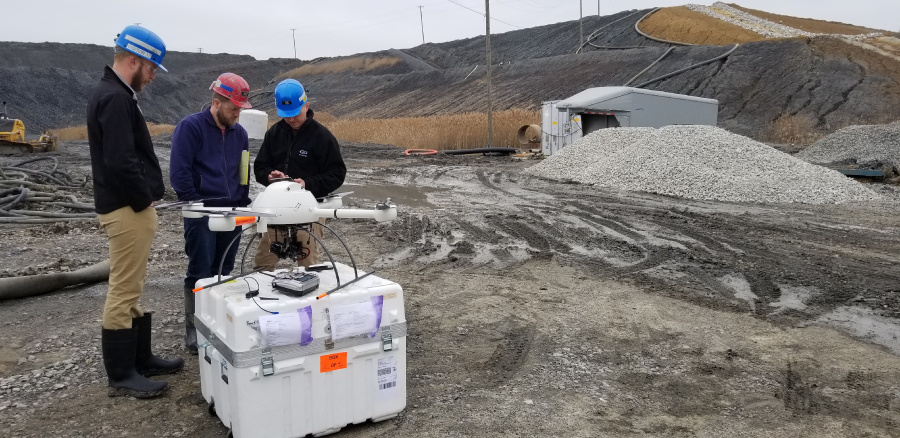
Microdrones showcases mdMapper1000DG versatility with thermal detection accessory
Sebastian Long, Sales Manager for the US Midwest and Northeastern regions, was recently approached by Seiler, a distribution partner, to help with a product demonstration for Mach Mining, a coal mine located in Marion, Illinois. The Mining company was looking for a solution to help detect possible underground leaks from a pipeline they are about to establish. The pipeline will sit approximately 5-6 feet deep in the ground.
After reviewing the case, it was determined that the Microdrones Thermal Mapping accessory, +t, would provide the best solution. The use of the sensor will help detect water as it dissipates through evaporation above the ground or when the temperature of the ground versus the water is varied enough for the thermal sensor to distinguish.
The Microdrones thermal mapping accessory, +t, features a FLIR Vue Pro R thermal mapping sensor. That allows drone operators and certified thermographers the power to gather accurate, non-contact temperature measurements from an aerial perspective. Every still image the Vue Pro R saves contains accurate, calibrated temperature data embedded in every pixel. Vue Pro R adds fully radiometric data-gathering to sUAS applications like building and roof inspections, power grid inspections, infrastructure analysis, precision agriculture, and public safety.
Accompanying Sebastien at the demonstration was Colin Nash, a Microdrones Pilot in Command. Besides overseeing the flight, Colin also answered many questions and demonstrated the Microdrones intuitive workflow of Plan, Fly, Process and Visualize. "No matter what payload is attached to our platform, the workflow doesn't change," said Sebastien. "Our method helps gather the best data and deliver the strongest solution."
Attending from the Geospatial Operations at Seiler Instrument & Mfg. Co. Inc. was Eric Seiler, III. Seiler, a family owned business, is one of the largest authorized Trimble Distributors in the Midwest.
Where in the world will Microdrones show up next? Stay tuned. Or take some time to schedule an appointment and see for yourself. Click here to get started.