Microdrones and the Central New York Business Journal hosted a webinar detailing the practicality of integrated aerial survey technology. It was presented by Microdrones US Sales Director, Chuck Dorgan and mdSolutions Director Dr. Mohamed Mostafa, and was attended by surveying and construction professionals from around the world.
You can watch the webinar here or read about it below.
Drones for Surveying: Viability, Versatility and Vision demonstrated the impact Microdrones products have had on the geospatial, engineering and construction trades and how our systems help professionals improve workflow and increase value in the field.
Trusted Technology
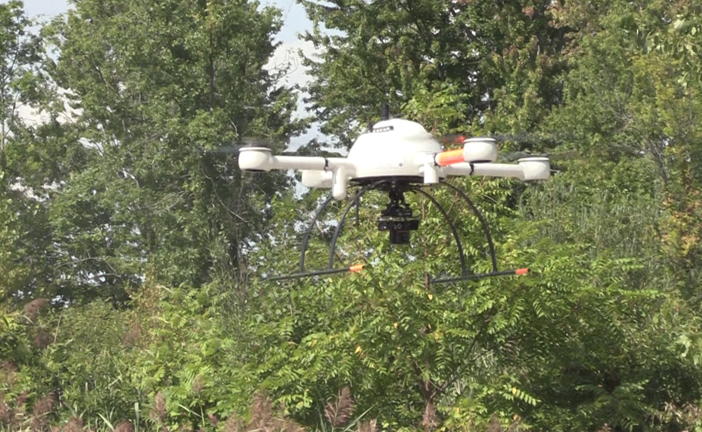
Kicking off the hour-long session was Chuck Dorgan, taking listeners through our three airframes; the md4-200, md4-1000 and md4-3000. Since 2005, Microdrones continues to improve and upgrade each system as technology changes, with regular software and firmware updates. Most importantly, the company has built upon its heritage of offering the world’s best commercial quadcopters by releasing complete packaged solutions for mapping and surveying:
- mdMapper200- compact and complete, providing easy transportability.
- mdMapper1000- long flight times and resistance to harsh weather conditions- an excellent choice for mapping, surveying and construction.
- mdMapper1000DG- builds upon mdMapper1000 with the power of direct georeferencing, producing the best accuracy and time savings.
Science Behind the Solution
“Microdrones offers the complete system; the solution that contains the drone, firmware, software and the integrated payload,” said mdSolutions Director, Dr. Mohamed Mostafa, adding “Microdrones is trusted worldwide. The power of direct georeferencing is implemented in the Microdrones hardware and firmware through research and development that is constantly being, analyzed and improved based on customer feedback from the field.”
Dr. Mostafa provided an explanation of direct georeferencing, why it’s important and how it creates value for users in the form of time savings, improved results, and increased safety.
Proven Projects
At a Dam in Quebec, Canada Microdrones used its mdMapper1000DG to yield an orthomosaic and 3D pointcloud model. Dr. Mostafa explained in his presentation that “Everything was planned and executed in the same morning; it ended with a true visual that met industry required accuracy.” No humans had to climb on the crumbling damn, so the drone was able to do work that otherwise would have been neglected for safety reasons. Read about this project here.
In Juniper Flats Basin, Supervising Land Surveyor, Joshua Tremba explained how the Microdrones mdMapper assisted his work: “The cut/fill model allows us to identify areas that were not built to spec…for debris and sediment removal, we could produce quick maps that show exactly how much dirt needs to be removed at any given location. This is really a good visual supplement to traditional earthwork volumes.”
Versatility
Using a Microdrones Solution for business saves time, decreases danger, permits data collection without disrupting regular work. Optional payloads expand the functionality of Microdrones mdMapper systems to cover inspection, thermal and multispectral applications.
Here are some of the options available today:
- +i – procures high resolution images of structures from multiple angles via a brushless gimbal, with a real-time view of what the camera sees on a 7-inch monitor.
- +t –a FLIR Vue Pro R thermal mapping sensor alerts users to irrigation issues before crops suffer. This accessory kit is also helpful for the inspection and detection of solar panel issues as well as identifying building heat loss via the roof.
- +m – monitors nutrients, moisture levels, crop issues involving disease, pest problems and water-stress. Estimate yields and uses data for predictive analysis.
Coming Soon to the Microdrones Fleet
The mdSolutions team has been hard at work to deliver a fully integrated aerial methane inspection package and a full lineup of aerial direct georeferencing LiDAR solutions.
mdTector1000 CH4
This package was developed for professionals who are responsible for inspecting methane gas infrastructure along with natural gas lines, tank inspections, gas well testing, landfill emission monitoring and plant safety.
This product will add to the already stated ‘making the work environment safer’ by going where people shouldn’t. When gas infrastructure is in a tough to reach place, our carbon-fiber UAV will easily get to terrain that is difficult to reach for a traditional foot crew. Additional benefits include decreased detection costs, a broad range of detection and easy to deploy in the field. Using the mdCockpit Android App provides a real time view from the UAV of potential gas leaks while allowing the user to graphically visualize all exported post-flight data on one map.
LiDAR
The LiDAR solution will give geospatial professionals power tools for surveying and mapping to accurately create detailed terrain models. A key advantage here, is being able to collect data for a full ground model even when obstructing vegetation is present. The LiDAR laser (short for, light detection and ranging) will create fast 3D models and will also be able to collect data at night, where allowed by law.
Director of mdSolutions, Dr. Mostafa said, “Minimal site preparation and onsite equipment is needed.” Evaluating avalanche risk as a test project, the team calculated snow depth on a mountainside in Canada. The mdSolutions team flew its LiDAR prototype in the winter with snow, and later in the summer with the LiDAR and then subtracted the two 3D models to calculate snow height, achieving a great time and safety improvements over traditional methods. Read about it here.
Overall, U.S. Sales Director Chuck Dorgan wrapped up the Microdrones value proposition best. “For us, it’s not about just selling drones, it’s about providing our customers with the ability and tools to accurately collect data,” said US Sales Director Chuck Dorgan. He explained, “the better this data, the stronger the foundation for good decision-making and better outcomes.”
Watch the video to learn more and if you would like to talk with a salesperson about your surveying and mapping business needs, please send a note to us.