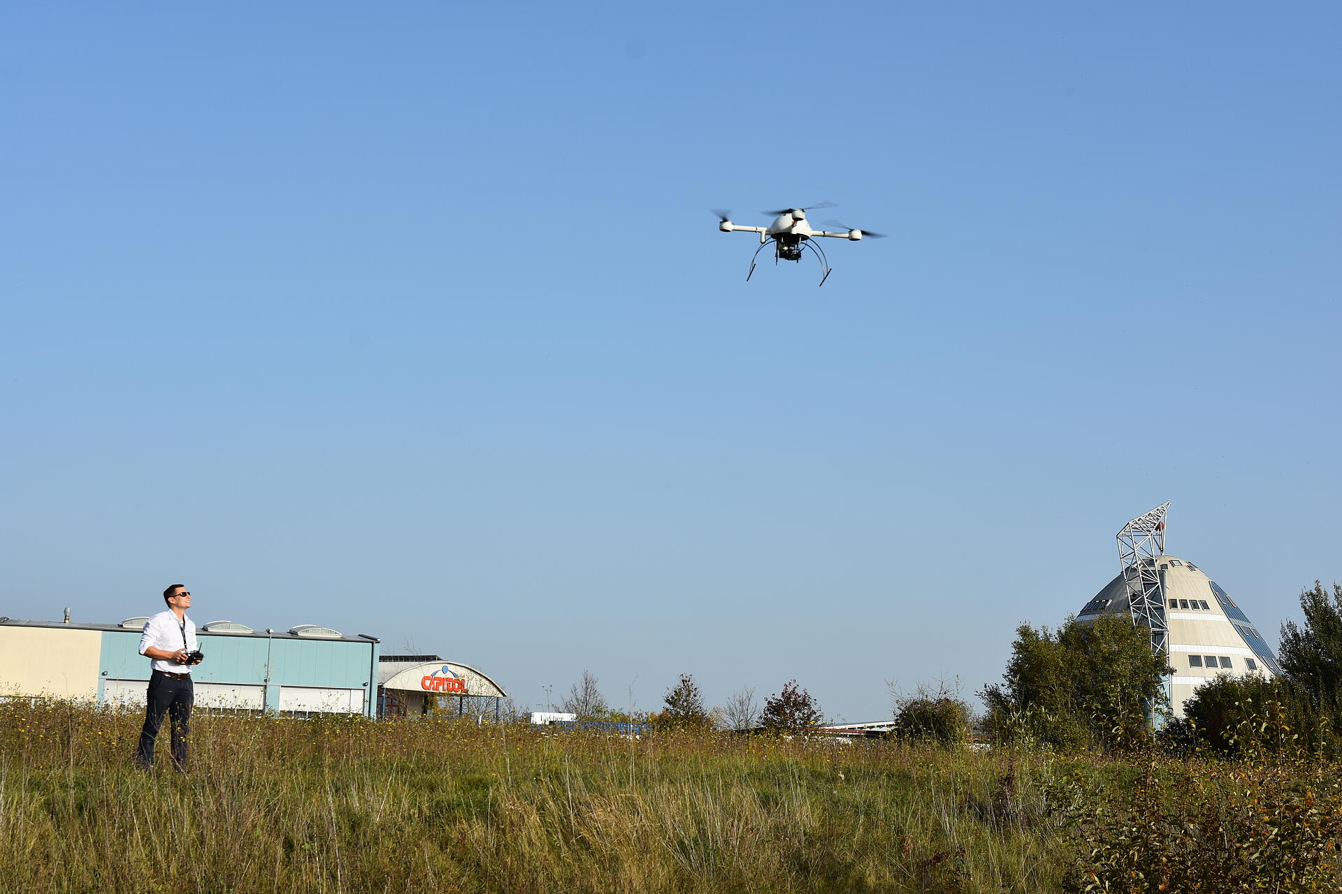
Older surveying methods can be time-consuming as well as dangerous or difficult. And if you only have a small parcel of land, you don’t want to go to the expense of contracting with a plane and pilot to map it. Aerial surveying drones are the perfect solution. If you’ve never used a UAV for mapping, you’re going to be impressed with their capabilities and easy operation.
Click here to view the PDF.
