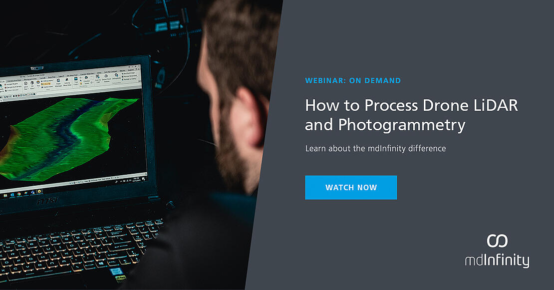
WATCH THIS INFORMATIVE WEBINAR ON HOW TO USE MDINFINITY TO PROCESS DRONE LIDAR AND PHOTOGRAMMETRY
NOW ON-DEMAND
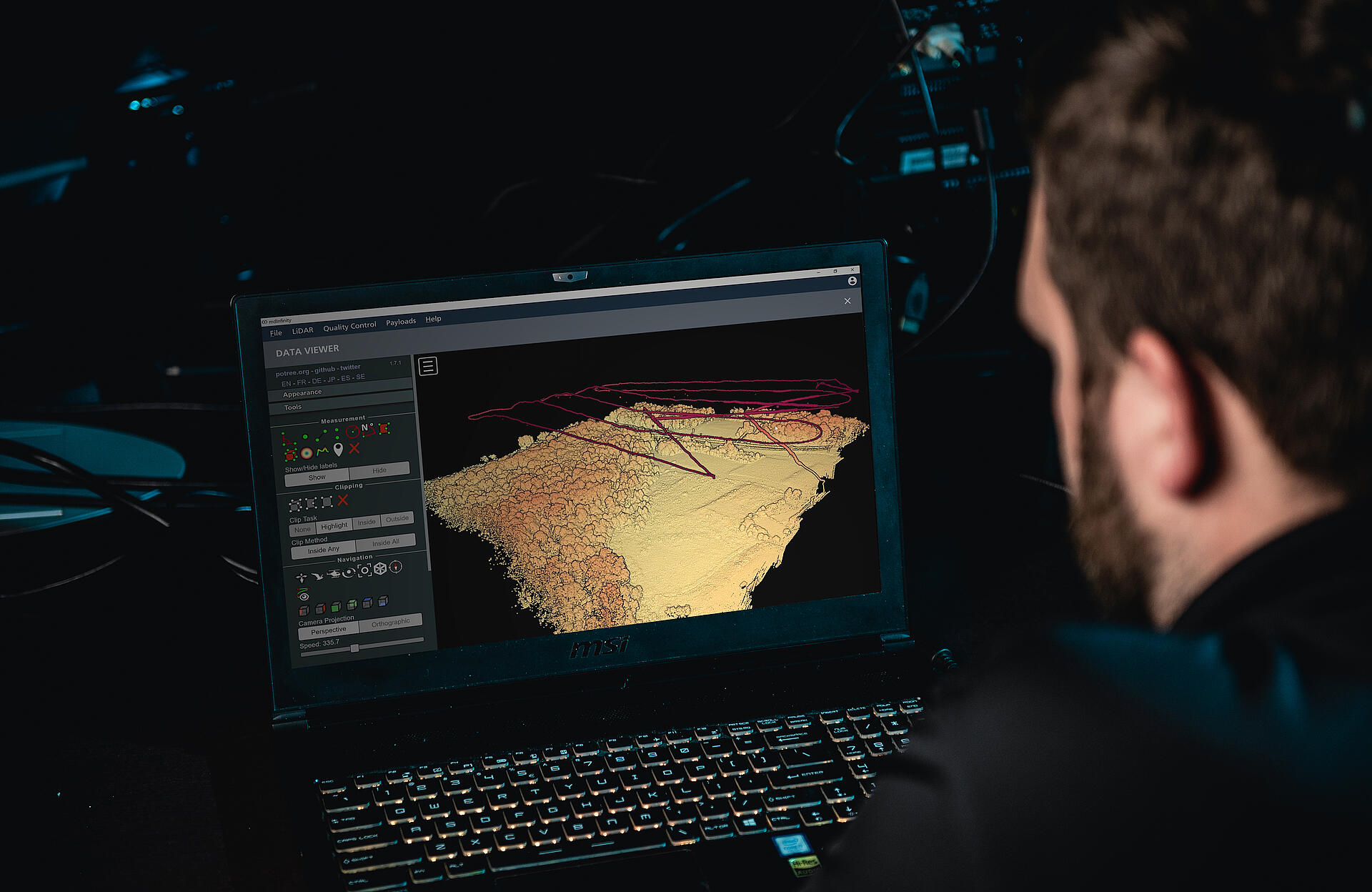
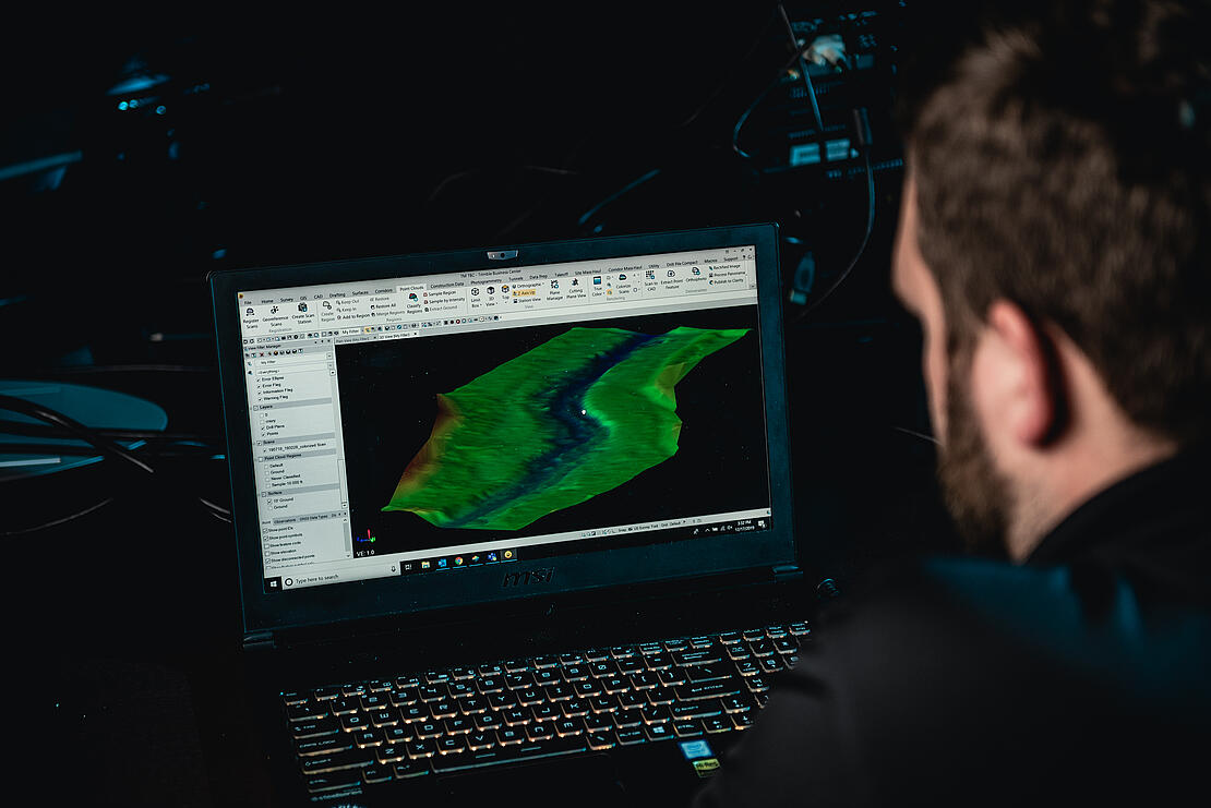
mdInfinity is a complete software suite for your aerial data processing of LiDAR and photogrammetry.
With Unmanned Vehicle (UV) and LiDAR data collection adoption rapidly rising in popularity, the mdInfinity mission is to develop software designed to clean and refine data collected by these systems, including, but not limited to pointclouds and images. Whether you are creating a digital model of your assets, surveying a large dam, calculating volume of piles for month end inventory, or creating maps of powerlines, mdInfinity will guide you through the necessary steps of data processing in a simple, repeatable and efficient workflow.
Watch this webinar, now on-demand, to learn how you can make your drone surveying work more accurate, profitable and efficient. mdInfinity provides an easy and affordable means to process all your drone Lidar and photogrammetric data quickly and efficiently.
In this on-demand webinar we will cover:
- What is mdInfinity?
- How to use it?
- The workflow.
- Review the Data Processing Modules.
By developing workflow, tools and software that support accurate acquisition, efficient processing, and detailed analysis of collected data, mdInfinity transforms raw data into comprehensive, actionable deliverables.
If you’re ready to learn more about how mdInfinity software can help you achieve better, cleaner, and more accurate data then talk with one of our sales representatives, today.