
Deutsche Telekom and Deutsche Flugsicherung, the German Air Traffic Control, are working together on CONNECTED DRONES, a research project to safely control drones Beyond Visual Line of Sight via the existing Deutsche Telekom mobile network. For Microdrones, there are many benefits to be realized by integrating a high speed, high bandwidth connection into Microdrones mdSolutions, to allow their UAVs to fly BVLOS.
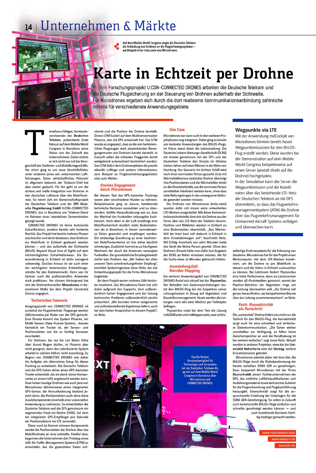
During the February Mobile World Congress in Barcelona, Timotheus Höttges, CEO of Deutsche Telekom, discussed the future of his company. One of the keynotes in his presentation was expanding the capabilities of Deutsche Telekom into other business segments, including unmanned aerial vehicles. Höttges noted that there is a huge secondary market for Deutsche Telekom to integrate their existing mobile network to monitor and track drones to help keep the German air space safe.
CONNECTED DRONES is more than a technical vision of the future; it’s already concrete reality. The project has already gone through several stages, proving that drones can be controlled in real-time via their mobile network - and that highly secure BVLOS is possible. The data connection in real time is critical to achieving this. Safe, secure, scalable BVLOS is one of the most important future development steps for the drone market.
Being able to fly UAV beyond line of sight would be a tremendous benefit for Microdrones. The mdLiDAR1000 would be able to survey acres of construction sites, a mdTector1000 CH4 could inspect miles of pipeline for methane leaks or hot spots, and the mdMapper3000DG could perform corridor mapping across any type of terrain.
Technical background
Flight monitoring and tracking is the main priority for CONNECTED DRONES. Traditional aircraft are usually tracked through radar, via a system called Phoenix. However, since drones fly at much lower altitudes, at heights up to only 100 meters, Phoenix is not suitable, since the system does not work reliably at lower altitudes.
In July 2017, CONNECTED DRONES began working on their first phase of tracking drones. Deutsche Telekom and DFS developed a GPS-based tracker that can be attached to a UAV as a stand-alone component. Although contemporary drones usually have an integrated GPS sensor, the task was to create a universal application to manage and track location data. This lead to the Deutsche Telekom and DFS development of a hook-on device (HOD), in which an integrated GPS receiver sends position data every second via LTE.
This lightweight component transmits the position information of a drone over the mobile network to a control center. An Unmanned Traffic Management system (UTM) records the position data and provides tracking capabilities for all aircraft, effectively monitoring the airspace. Drone pilots receive air traffic, weather alerts and restricted flight path information.
This UTM is based on the Phoenix DFS and was adjusted to the motion patterns and flight altitudes of drones. In the future, the DFS wants unmanned aircraft operating largely under automated control.
Case Study: A “Life-Saving” Demonstration
Connected Drones integrated Microdrones with a real-time demonstration of BVLOS through a search and rescue mission. The German Life-Rescue Society (DLRG), DFS and Deutsche Telekom collaborated on Elbe Island, near Hamburg, last October. The mission was to find a missing person in the dense woods of the island using a Microdrones UAV system. The drone was specially equipped with a thermal imaging camera and a HOD that would transfer position data and imagery directly to the command center. The operation would highlight the benefits of the mobile network while demonstrating that a smaller ground rescue team could be deployed to locate a missing person with the UAV.
A Microdrones md4-1000 was integrated with the HOD, equipped with GPS, allowing the drone to be remotely controlled via the LTE. Position and image data are transmitted in real time to a control center. Jonas Reitz, a Microdrones system engineer, assisted with the demonstration. "We were able to receive thermal imaging of the search area in real time, allowing us to quickly navigate the search grid," explained Reitz. Within ten minutes, the device had located the person.
Case Study: Gas Corridor Inspection
CONNECTED DRONES also partnered with ThyssenGas to further demonstrate the capabilities of a Microdrones UAV operating safely BVLOS via the mobile network. ThyssenGas routinely inspects their pipelines by manned helicopters every two weeks. Using a drone would significantly reduce their costs and save time.
ThyssenGas used a Microdrones mdTector1000CH4 system outfitted with the HOD LTE modem to exchange a large volume of data in real time. This type of application demands high performance, because 3D point clouds are generated and transmitted to the control center for inspection. “The benefit of this system is that we can help identify where vegetation is obstructing a pipe.” Reitz explained. “The high speed, high bandwidth connection was able to successfully transfer all of the data from the mdTector1000CH4 in real time.” Was this really an mdTector1000CH4 because that system doesn’t do pointclouds? Perhaps it was mdLiDAR?
Summary
CONNECTED DRONES not only delivers technology for a BVLOS flight, but it also provides connectivity for faster and easier data communication. "The biggest advantage is that data is immediately available. There are no buffers and handling is far easier," explains Jonas Reitz. The demonstrations that the Microdrones team has participated in have been very successful and validate that the CONNECTED DRONES mobile network is a viable path for operating BVLOS.
Interested in making unmanned aerial vehicles a part of your business? Talk with our friendly, helpful experts!