Drones for Surveying /
Webinar Replay: What’s New in LP360
Drones for Surveying /
What's New in LP360 Webinar
Drones for Surveying /
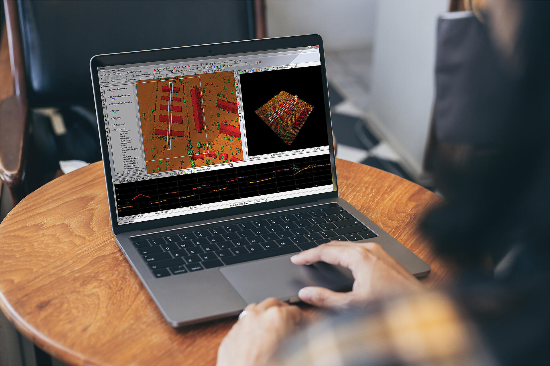
How to Perform Ground Classification in LP360
Drones for Surveying /
How to Make As-Built Surveys with Drone Lidar
Drones for Surveying /
How to Improve Drone LiDAR Accuracy
Drones for Surveying /
Save Time Processing Drone LiDAR Data
Drones for Surveying /
New LiDAR Products and Software Webinar
Drones for Surveying /
Using Drone Lidar to Survey Powerlines
Drones for Surveying /
How Do You Plan Your Drone Surveying Flight
Drone LIDAR /