
Using a Microdrones UAV, archaeological images were captured which allowed for the construction of a 3D model of an ancient royal burial mound in Russia.
Burial grounds are often located in remote and rugged areas, which are difficult for archaeologists, typically with limited budgets, to both access and survey. Therefore scientists deploy drones to investigate these far-flung areas.
"This system offers a multitude of possibilities for us", says Marijn Hendrickx, geographer at the University of Gent in Belgium. The model used in Tuekta, a remote area in Russia, was a Microdrones md4-200. With its small size – the rotor axis is only 70cm long – and light construction (weight: 1 kg), the microdrone is easy to transport. The scientists reported that it was also very easy to fly, as it constantly stabilised itself and kept to the altitude to which it was programmed. Another advantage was the sharp photography it delivered thanks to an almost complete absence of engine vibration. Dependent on wind, temperature and load, the flight duration was approx. 20 minutes.
Tuekta is situated in the Altai Mountains, the border region of Russia, China, Kazakhstan and Mongolia. Here researchers have discovered burial mounds between 2,300 and 2,800 years old and up to 76 metres in size.
The burial mounds, known as "Kurgans", most likely belonged to the Scythian chiefs and princes, nomads who were famous for their horsemanship and who once possessed a prosperous and powerful kingdom. Excavations have revealed extraordinary riches of gold and other artefacts, well preserved in the permafrost ground.
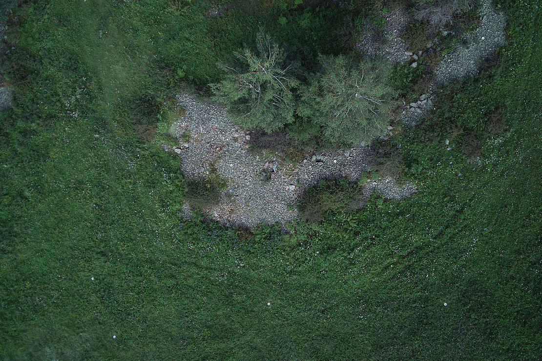
Almost 200 burial mounds were discovered in in Tuekta along the river Ursul. In the centre of the area there appears to have once been a row of five monumental Scythian burial mounds of between 42 to 76 metres in diameter. Unfortunately in the area being examined most of the burial mounds were destroyed, as Hendrickx emphasises.
The test area selected by the researchers comprises an area of approx. 300 x 100 metres, including the five huge burial mounds and dozens of smaller objects. The drone flew at a height of 40 metres, providing the researchers with a better overview of the burial mounds.

A SUCCESSFUL MICRODRONES MISSION
In the past decade archaeologists have begun to deploy more drones in their work. Areas of deployment have included Peru, Austria, Spain, Turkey and Mongolia, among others. The maps they have generated help the archaeologists to gain an overview of an area where satellite or aerial photography is not available. The researchers are currently experimenting with a larger microdrone which features a larger load.
"This will allow us to use infra-red cameras or even a radar system", explains Hendrickx. "In this way we can make things visible which we are unable to see with our own eyes." The scientists published their findings in the November edition of the "Journal of Archaeological Science".