ICARUS is perhaps the biggest project for UAV-assisted rescue and unmanned search operations currently running on the continent – in which Microdrones play an important role.
How can Microdrones safely land in unknown territories and areas without GPS signal? Staff of the University of Hamburg, Germany, and the National University of Defense Technology, China, have...
In this study the University of Cordoba, Spain, explored the positional quality of orthophotos obtained by an unmanned aerial vehicle (UAV). A md4-1000 multi-rotor UAV was used to obtain images using...
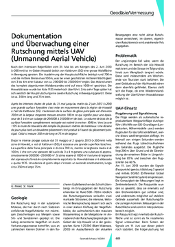
Following severe rainfall of over 200mm from 31 May to the morning of 2 June 2013 in Howald, east of Kaltbrunn in Switzerland, a large area of forest started to slip. The length of the main slide was...
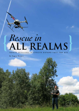
Airborne support in the search for survivors and land mines: in the wake of a natural disaster in Serbia/Bosnia and Herzegovina, rescue teams have been using German-made drones. This past May,...
Low altitude flights by a microdrone were made in 2012 and 2013 over two boulder beaches in north-western Spain. Geographical information system software was used to map the data. Boulder outlines...
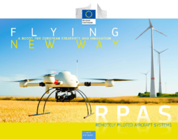
The development of drones (RPAS or Unmanned Aircraft Systems) started in the 50’s and matured rapidly in recent years in the military context. Drones are now entering the civil market, opening a...
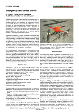
West Midlands Fire Service (WMFS) is the first fire and rescue service in Great Britain to successfully use an unmanned aerial vehicle, which it has deployed since 2007.
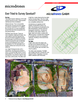
Ever tried measuring sawdust? The project to do so required a 3D model of three burial mounds. It was necessary to distinguish between three possible methods.
With the growing need for orthophotography and Digital Terrain Models (DTM) comes a rise in the number of unmanned aerial vehicles (UAV), requiring for mapping with aerial images.
Instead of a stationary camera on the ground, QFlky is being used to take images of the curved collectors. A sensitive aerial camera takes the images, meaning that an almost completely automatic and...
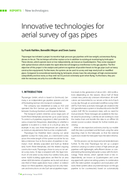
In addition to conventional helicopter runs, Thyssengas launched a project to monitor high-pressure gas pipelines using lightweight, independent drones. This technique will either replace or be in...
The use of UAS (Unmanned Aircraft System) by police forces has been mainly for search and surveillance activity, but now also presents outstanding opportunities in documenting and surveying accident...
Unmanned aircraft or Unmanned Aircraft Systems (UAS) are becoming ever more important. In the area of civil applications, however, their use to date has been limited. As part of this study potential...
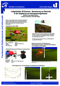
The application and operation of unmanned autonomous aerial vehicles as carriers of imaging sensors is continually growing in importance in aerial data processing. This article presents tachymeter...