In this study, drone surveying equipment from Microdrones was used for plant water status determination and, as a consequence, for irrigation management. The research used a Microdrones UAV to...
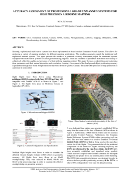
Click this link to download and read the full report for Specifications for Using Small Unmanned Aerial Systems to Generate High Accuracy Mapping, performed by the Department of Civil and Geomatics...
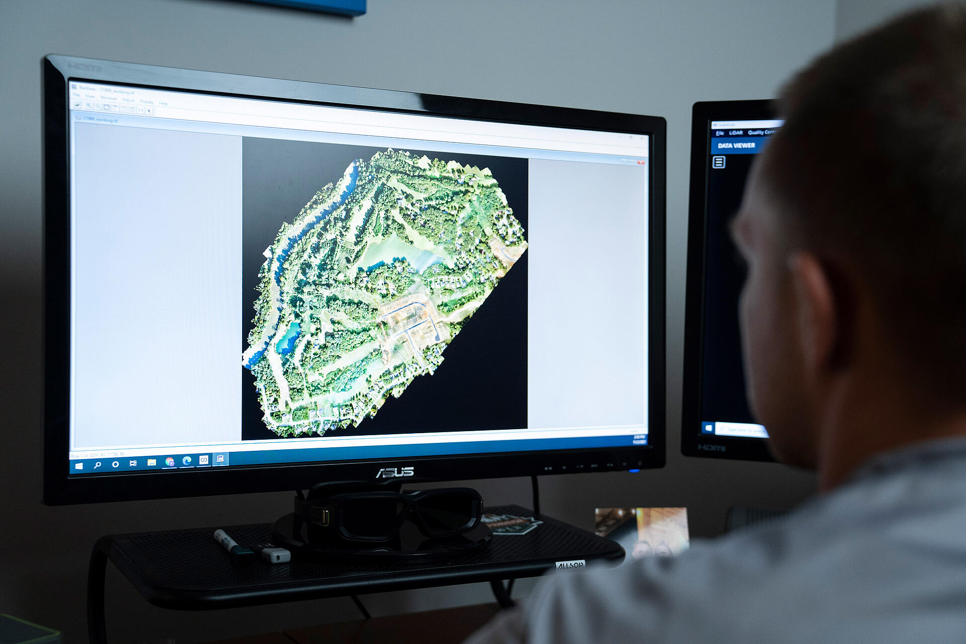
Lidar Magazine published an article about an independent study, conducted by the Department of Civil and Geomatics Engineering at California State University, Fresno (CSUF) for the Division of...
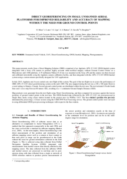
In this web paper, "Multimodal strip adjustment of airborne LiDAR data using an advanced uncertainty model," mdInfinity explains their fully automatic and rigorous approach of strip adjustment to...
In this web paper, "Direct colorization of LiDAR point clouds with occlusion management," mdInfinity presents their point cloud direct colorization (PCDC) tool. This will enable a user to colorize a...
In this web paper, "An algorithm for outlier rejection based on density and morphology filters," mdInfinity presents the principle and some results of the mdInfinity Outlier Rejection applied to UAV...
In this web paper, "Ground classification of 3D point clouds by a hybrid densification-segmentation method," mdInfinity presents the ground classification tool. It enables the user to segment...
In this web paper, "FORMap: A fast photogrammetry software for direct georeferencing UAV systems," mdInfinity explains how FORMap implements a rapid and comprehensive photogrammetric workflow to...
In this web paper, "LIBAC: LiDAR-IMU Boresight Automatic Calibration," mdInfinity reviews and explains the methodology of the Microdrones LIBAC tool, and how the misalignment is computed automatically...
In this web paper, "A Geometric and Probabilistic Point Cloud Denoising Algorithm," mdInfinity presents the findings and results of the mdInfinity denoising algorithm applied to UAV LiDAR and...
In this research project, a team performed a study to see if it was feasible to create an agricultural map of bermudagrass growth by using a Microdrones UAV to capture aerial images of two vineyards...
The Ecological Society of America publishes 6 journals with its publishing partner, John Wiley & Sons. ESA journals are among the most widely read and cited journals in the field of ecology. In their...
Abstract Over the last few years, a number of sophisticated multi-sensor systems have been integrated onboard Unmanned Aerial platforms. This allows for producing a variety of mapping products for...
de Castro, A.I.; Jiménez-Brenes, F.M.; Torres-Sánchez, J.; Peña, J.M.; Borra-Serrano, I.; López-Granados, F. 3-D Characterization of Vineyards Using a Novel UAV Imagery-Based OBIA Procedure for...
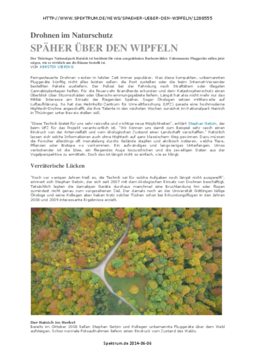
The Thuringian Hainich National Park is famous for its extensive beech forests. Microdrones UAVs are now to show what condition the trees are really in.