
DR. MOHAMED MOSTAFA FROM MICRODRONES PRESENTS AT ASPRS UAS TECHNICAL SYMPOSIUM
The American Society of Photogrammetry and Remote Sensing (ASPRS) hosted a sold-out UAS technical symposium, leading up to the Commercial UAV Expo in Las Vegas, Nevada today. The full-day 8-topic session presented by ASPRS professionals provided a comprehensive understanding of UAS mapping in accordance with geospatial accuracy standards.
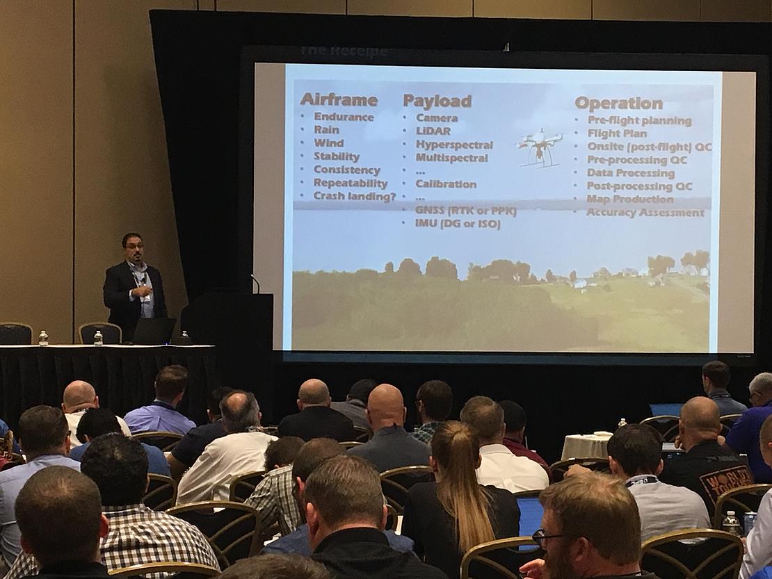
The team from leading drone mapping company Microdrones, was excited to have its Director of product development, Dr. Mohamed Mostafa, presenting at this critical event on the following important topics:
- Best practices for high precision mapping by UAS using ground control, RTK, PPK, or DG
- Detailed Workflow for high precision mapping
The symposium provided the best of academic findings combined with practical application and integration of technology to leave attendees with a valuable understanding of using UAS for professional surveying applications.
Following is a brief description of topics included in the symposium:
- INTRODUCTION TO ASPRS: an overview of the ASPRS and its role as the standard bearer in geospatial applications from Photogrammetry to LiDAR including the development of accuracy standards and nationally accredited certifications for geospatial professionals.
- PROJECT PLANNING…KEY COMPONENTS TO PRODUCING ACCURATE MAPS: assessing client needs (project requirements) so that a service provider can determine the appropriate method(s) to control, acquire, and create deliverables that meet client expectations.
- CONTROL & ACCURACY…TARGETING, SURVEY, RTK, PPK…AND MORE: methods available to create deliverables meeting various accuracy requirements.
- PROCESSING TOOLS: methods of processing imagery, including Structure From Motion (SFM), true Stereo Photogrammetry and LiDAR. Methodology and benefits of each were discussed as well as tools/ methods of extraction.
- PROCESSING REPORTS: differences between processing reports typically produced from software packages. It explained how to interpret the reports and glean information that might help solve problems in processing.
- UNDERSTANDING YOUR DATA (RIGHT OR WRONG) AND SOLVING ISSUES: typical issues in processing UAS imagery, helping the attendee to spot and resolve them.
- REPORTING ACCURACY: The ASPRS is recognized as a leader in the development of accuracy standards for geospatial products. This session discussed these standards and the means of reporting accuracy to specific industry standards.
- UAS MAPPING CERTIFICATION: introduced attendees to the first nationally accredited UAS certification for mapping. Over the past two years, the ASPRS has been implementing a Certified Mapping Scientist: UAS, similar to the Photogrammetry, GIS, Remote Sensing, and LiDAR certifications already available. This certification will assure your clients, that you have the background, qualifications and skills needed to provide professional mapping services using UAS.
This pre-conference event provided an ideal kickoff to an important week for the UAS industry at the 2017 Commercial UAV Expo in Las Vegas. Microdrones was happy to have one of its team members play an important part in this event, which will surely help to shape and guide the industry in 2018 and beyond.