


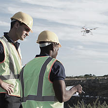
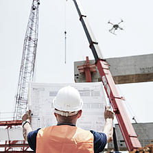
无人机可以提高工人的安全性
轻松解决作业区域脏乱、危险或难以靠近的项目,例如具有挑战性的复杂地形、摇摇欲坠的结构、高海拔地区以及受自然灾害影响的地区。
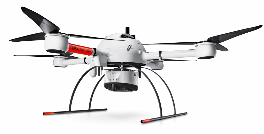
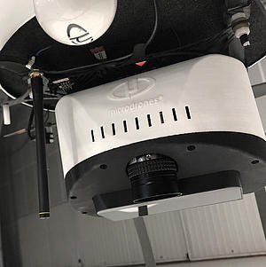
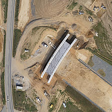
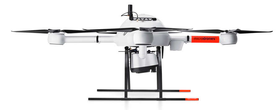
mdLiDAR1000 是一个完整集成的系统,用于生成 3D 点云,并针对土地测量、施工、石油天然气和采矿等应用场合进行优化。
当以 3 米/秒的速度在 40 米(130 英尺)的高度飞行时,mdLiDAR1000 总是能够达到 6 厘米(0.2 英尺)的精度。
Microdrones 开发出了一款端到端的 LiDAR 解决方案,将无人机、LiDAR 有效载荷、完整集成的软件工作流和世界一流的支持整合在一起,能够让您始终取得高质量的可交付成果。
此处提供了业内对 mdLiDAR1000 的评价。
The mdLiDAR1000 aaS can help streamline your current workflows to become more efficient, while helping you to complete more projects.
Learn more about the benefits and challenges of investing in drone based LiDAR. Click here to review one of our FREE educational UAV LiDAR webinars. In this edition, you can learn how one of Microdrones customers saved over 50% compared to conventional survey methods by implementing a UAV with LiDAR.