Watch a Video Overview of How to Assess and Enhance the Quality of Point Clouds with the Surface Precision Tool
The "Surface Precision" tool, included in the Business Intelligence Add-on package for LP360 Drone and the base package for LP360 Geospatial, is designed to provide a robust and automated assessment of the precision (or noise) on smooth surfaces within lidar data point clouds. It's grounded on the ASPRS definition of surface precision as a measure of a lidar system's ability to detect hard, flat surfaces, which in practical terms refers to the "fuzziness" or noise in the point cloud. This tool evaluates point cloud data to ensure precision is within specifications, serving as an indicator of the ranging precision and sensor stability. For an overview of the Surface Precision Tool, watch the video below:
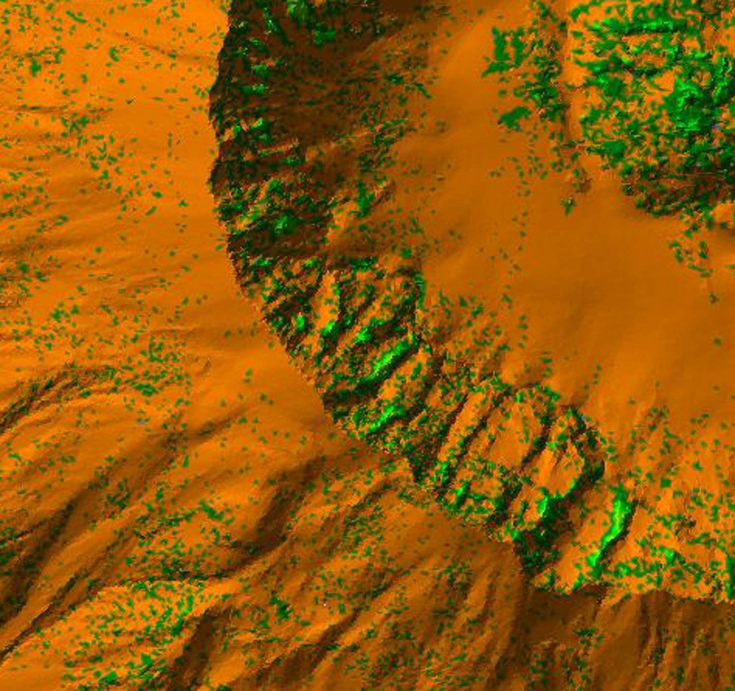
Surface Precision
To measure surface precision quantitatively, the tool uses a method based on Principal Component Analysis (PCA) and the Standard Deviation Along Surface Normal (SDASN) values. This process is designed to be rigorous, quantifiable, sensor-agnostic, and computationally efficient. It is also independent of project scale and unbiased regarding the slope and curvature of the local terrain.
The Surface Precision tool is versatile, and configured to handle various use cases, whether it's for single or multiple flight lines and classified or unclassified data. As an important quality metric for lidar data, surface precision is essential for fulfilling the specifications and required thresholds in positional accuracy standards. This tool aids users in quickly generating precision rasters to determine whether their data meets the pass/fail criteria for their specific use case. Surface Precision can also be used to effectively assess ground surface continuity when quality-checking ground classification in a point cloud.
With LP360, the Surface Precision tool is integral for anyone needing to measure and ensure the quality of lidar data against standardized accuracy requirements. It’s a sophisticated solution that prioritizes precision, efficiency, and adaptability.
If you'd like to learn more about the Surface Precision Tool in LP360, schedule a meeting with one of our software experts today.