
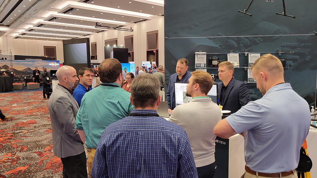
Chad Dillard, the sales manager for LP360, displays the new LPLAS file and LP360 PowerSearch feature from the floor at the Commercial UAV Expo
When it comes to geospatial data management, having efficient tools to process, organize, and access your data is essential. LP360, the professional choice in geospatial data processing software since 2006, has always been at the forefront of providing powerful solutions for professionals dealing with LiDAR and Photogrammetric data.
In the video below, Chad Dillard demonstrates two of the latest features to help improve your experience processing data: LPLAS files and the PowerSearch feature in LP360 Cloud.
Introducing LPLAS Files: Enhanced Data Viewing
LPLAS is a significant improvement over traditional display methods in LP360. While it still maintains compatibility with LAS standards, LPLAS files are designed to optimize the viewing experience within the LP360 environment. According to Dillard, “LPLAS is a big improvement over our traditional display methods where we rearrange some of the information in the files to make it more efficient.”
With LPLAS files, you can expect enhanced visuals, where data rearrangement and optimization make it easier than ever to view your geospatial information in the point cloud.
Unleash PowerSearch in LP360 Cloud
LP360 Cloud is a relatively new feature from LP360 that takes data cataloging and searching to the next level, making it easier than ever to manage and access your geospatial data.
One of the standout features of LP360 Cloud is the PowerSearch function, making it much easier to find your files. When you launch LP360 Cloud, you'll be greeted with a user-friendly, cloud-hosted data cataloging and search interface. This platform allows you to seamlessly publish your data from LP360 to the cloud, making it readily available for management and viewing.
The Power Search option empowers you with a global viewing display that simplifies geospatial searches. Some of the functions include:
- Filters: Start by adding filters to narrow down your search criteria.
- Search for LIDAR Data: Utilize the Power Search to look for LIDAR data.
- Geospatial Search: Draw a rough polygon around the area you're interested in. You don't need to be overly precise; a general location will do.
- Results at Your Fingertips: Instantly, you'll see all the data you've uploaded to LP360 Cloud within your designated polygon.
Once you access the data, you can choose to stream it, or even share the download link with colleagues outside your organization, simplifying collaboration and data distribution.
LP360 continues to evolve and innovate to meet the ever-changing needs of geospatial professionals. The introduction of LPLAS files and the PowerSearch feature in LP360 Cloud represents significant steps toward simplifying data management, enhancing data viewing, and streamlining geospatial workflows.
For more information on LP360, schedule a time to meet with one of our helpful representatives.