Microdrones at ChinterGEO 2019
Microdrones introduced the mdLiDAR3000 to the Chinese market at ChinterGEO 2019. From November 6 - 8, our team of professionals showcased the mdLiDAR3000 and the mdLiDAR1000, answering questions about drone-based LiDAR and showing how Microdrones fully-integrated systems combine unmanned aircraft with sensors, hardware, software, workflow, and support.
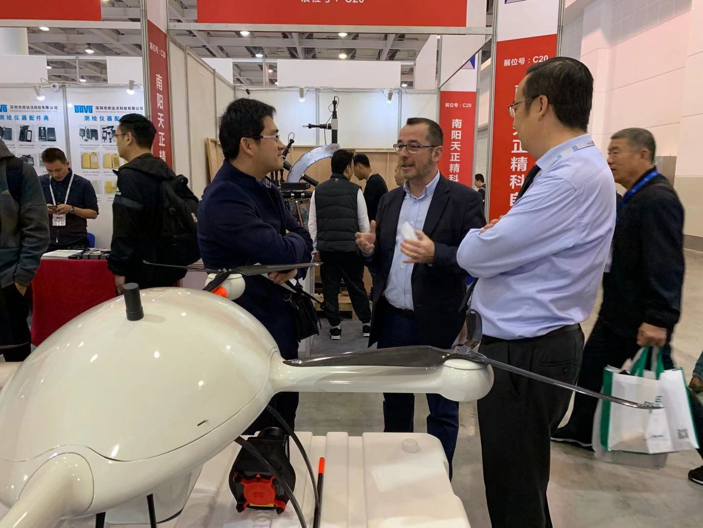
ChinterGEO 2019 is the Chinese Surveying and Mapping Geographic Information and Technology Equipment Exhibition. The event takes place in the Hunan International Convention & Exhibition Center, Changsha, China. ChinterGEO started in 1996 and has grown into China’s largest geomatics exhibition.
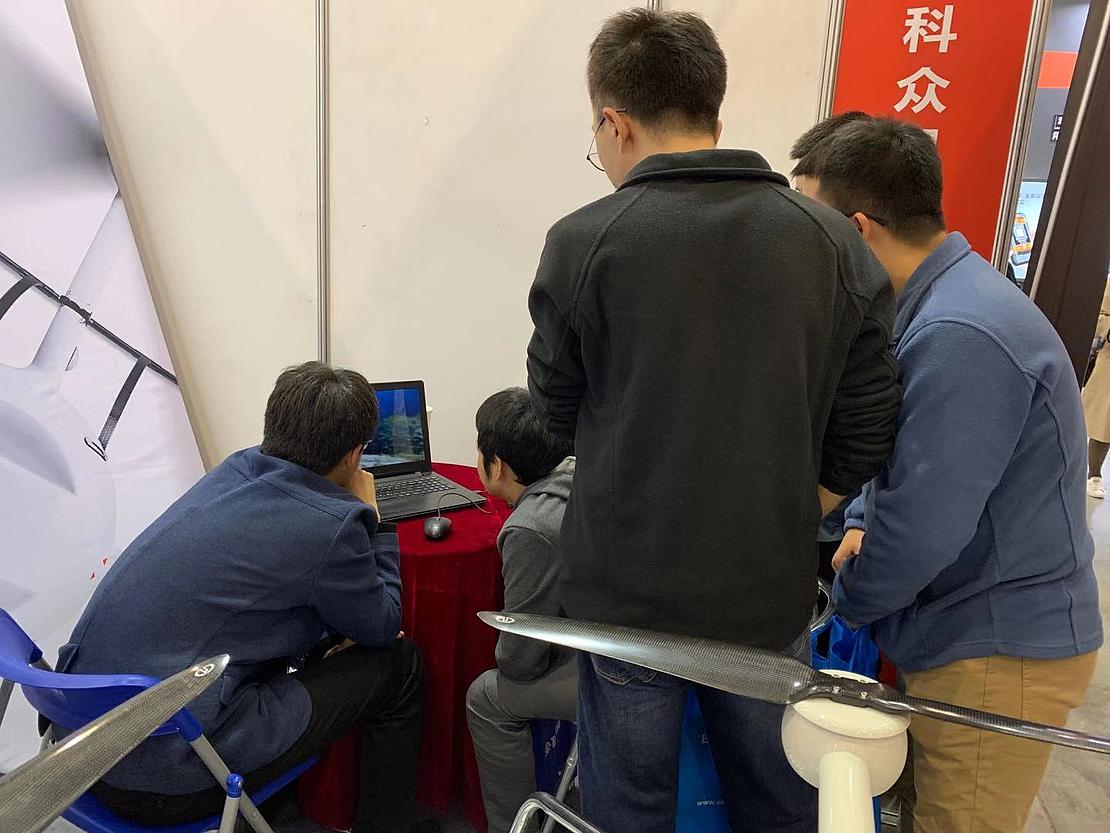
The annual event showcases the progress of surveying and mapping technology and attracts representatives from all of the leading enterprises of this industry in China. Exhibits include UAV, GPS, 3D Laser scanning systems, and accessories used in the industry.
Harley Ho, Marketing Director for Microdrones China, says Microdrones was well received and the entire event was very conducive for business.
“We were excited to introduce our mdLiDAR3000 system to the Chinese market,” says Ho. “ChinterGEO 2019, which brings together the latest surveying and mapping technology, is the perfect venue to showcase our LiDAR systems and present them to dealers and end-users.”
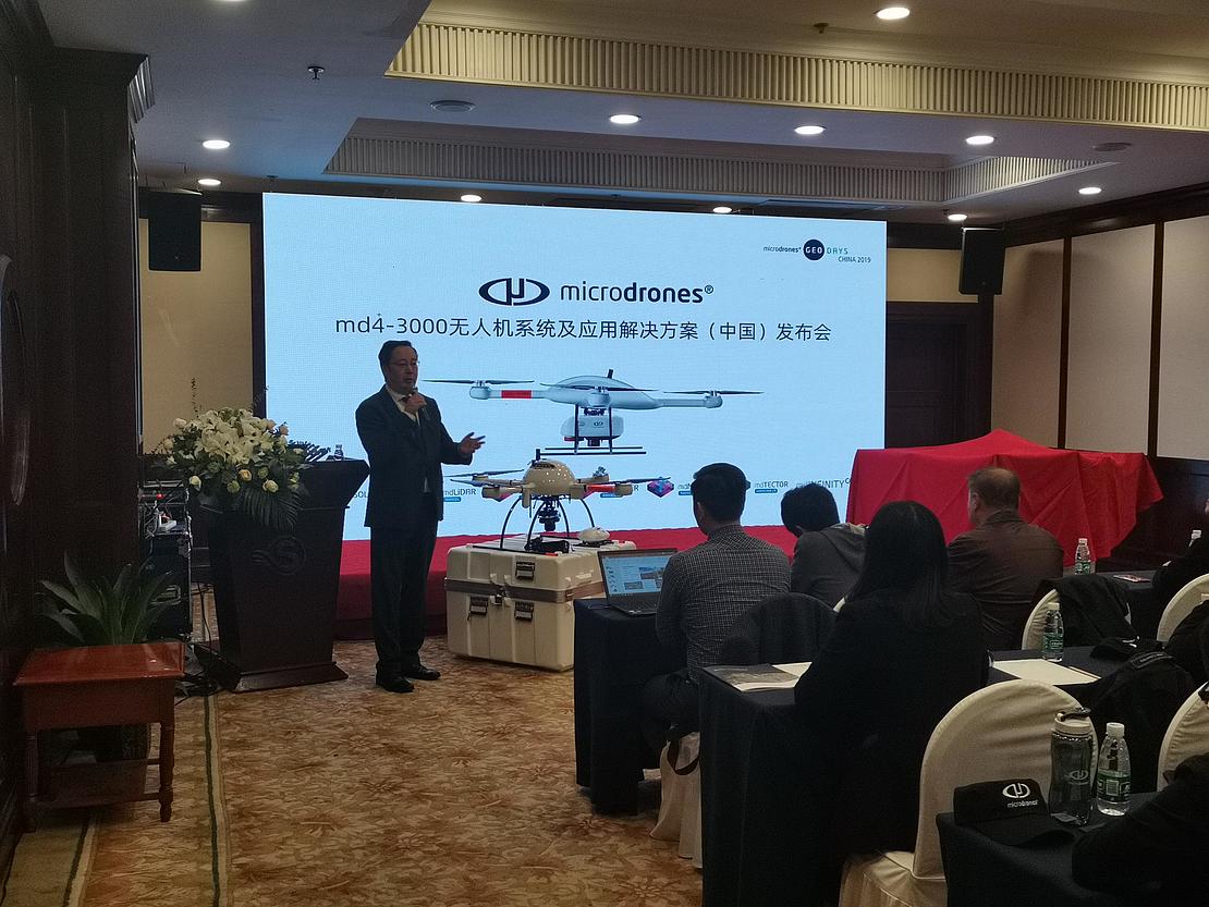
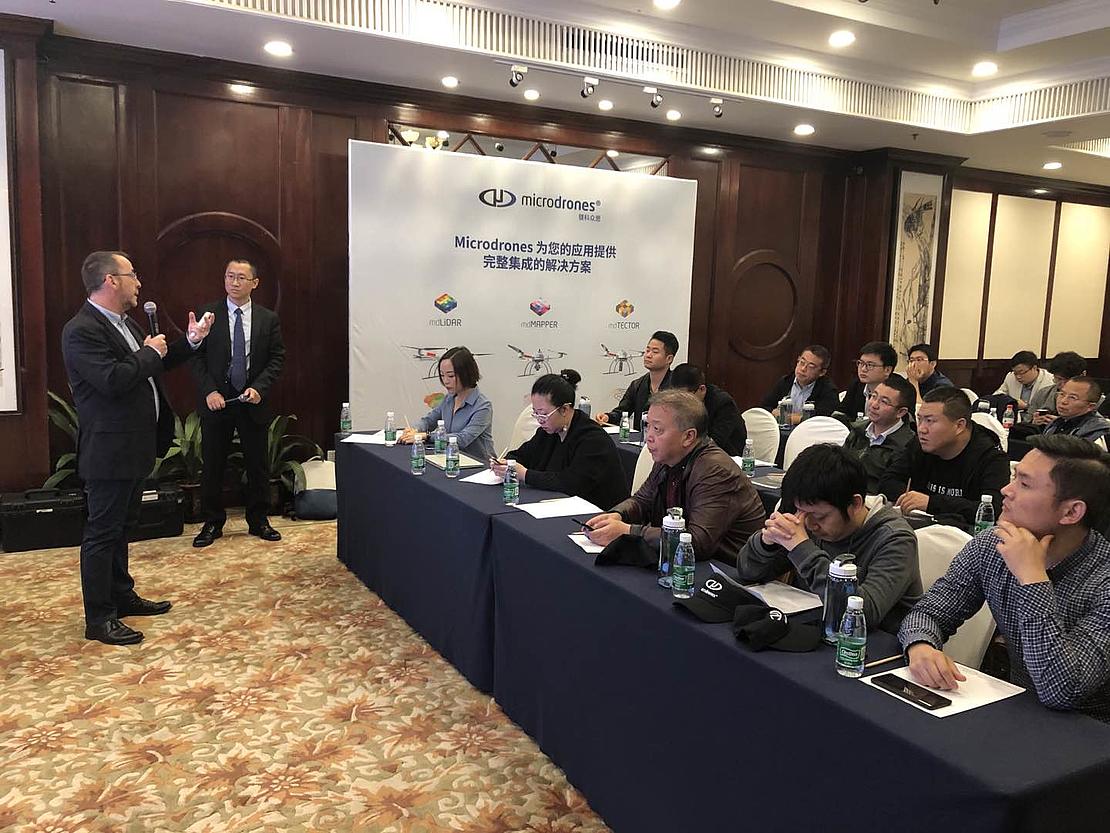
At ChinterGEO, Harley and the Microdrones team gave a presentation on Microdrones integrated systems and using drone-based Lidar. In attendance were 60 existing dealers, end users, and potential customers. Some of these customers shared their success stories and case studies with the group.
The Zunyi Water Conservation Institute has been using a Microdrones system since 2015. Since that time, they have logged more than 12,000 flights, proving the platform’s durability and resilience. Mr. He Xiong, who helped oversee drone operations for the Zunyi Water Conservation Institute says, “We were pleasantly surprised when we checked the number of flights from the drone. This gives us a new appreciation for the Microdrones design and engineering and attests to the quality and stability of the system. We are now putting plans together so that we can purchase the mdLiDAR3000 and mdMapper3000DuoG VHR very soon.”
Another case study was presented by the business Harbin Yufeng; the company has been both selling and using Microdrones systems for service projects. “Surveying is a tough and challenging job not only for us,” says Mr. Dai Yanhai, the UAV project manager, “but also on the equipment. Microdrones integrated systems have proven to be very stable and reliable. We’ve been able to operate the drones out in the field at extremely low temperatures. They’ve also been successful in high altitude areas with strong winds. We’ve been very pleased with the performance from the Microdrones systems and we are excited to see the great potential of mdLiDAR3000 system.”
TerraMax has been a strong dealer for Microdrones over the past 5 years, having sold more than 30 systems to Chinese surveying and mapping customers. “There’s been great anticipation for the mdLiDAR3000 and mdMapper3000 systems,” says Mr. Jason Zhang, Sales Manager for TerraMax. “Our customers are very excited to have a drone that can carry heavy payloads like the Reigl Lidar and Phase One Camera and we are currently preparing to process new orders for the md4-3000 based systems.”
Vincent Legrand, Microdrones Global Sales Director concluded the meeting with the official release ceremony of the mdLiDAR3000 and mdMapper3000 systems. “We are looking forward to new opportunities now that we have these integrated systems available in China. Microdrones can now help our customers fly higher altitudes and provide ultra-high-resolution for the most accurate and dense data for mapping service providers.”
To learn more about our LiDAR and Photogrammetry solutions and to speak with a Microdrones please CLICK HERE.