Microdrones mdLiDAR3000 is getting put to good use by the folks at ESP Associates as documented in our latest series of videos demonstrating the Microdrones intuitive workflow of Plan, Fly, Process & Visualize.
ESP Associates
ESP Associates (Engineering, Surveying and Planning) is a multi-discipline engineering design and consulting firm that provides their clients with civil engineering, surveying, planning/landscape architecture, geosciences, environmental, subsurface utility engineering, and construction engineering inspection.
Customers include city, county, state, and federal government agencies, commercial and residential developers, colleges and universities, public utilities, healthcare facilities, religious institutions, general contractors, other engineers, architects, and attorneys.
Cutting Through the Brush
Brian Flaherty, a Survey Manager for ESP Associates, explains how the company uses the mdLiDAR3000 on their design projects. In the video he says, “One of the things that stands out and why we use this as opposed to the photography is we can get through the trees. And in North Carolina, there is an abundant amount of trees and undergrowth to deal with.”
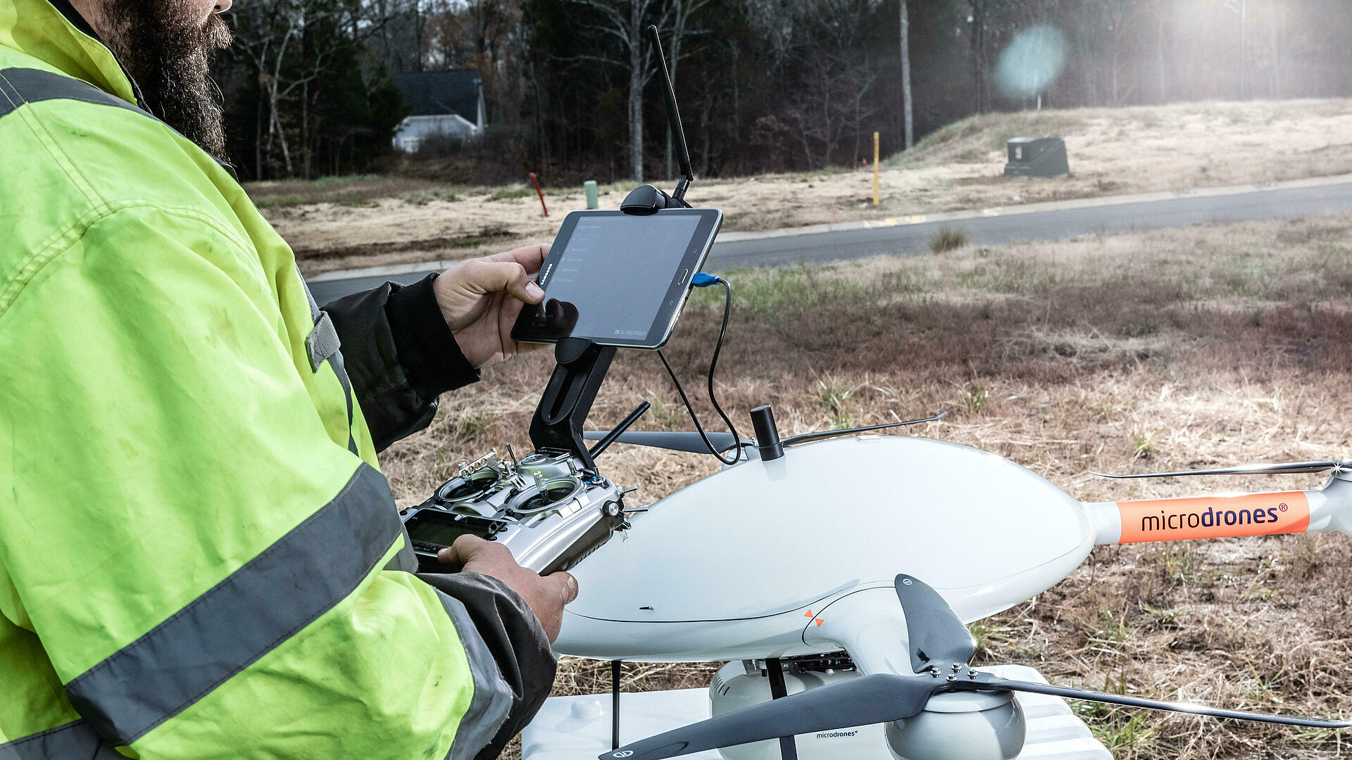
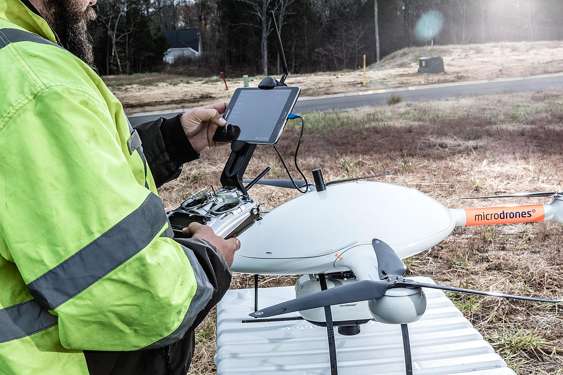
The mdLiDAR3000 is the newest LiDAR system from Microdrones. Three years in the making, Microdrones has perfectly integrated their heavy lifting md4-3000 drone with a Riegl LiDAR and a SONY camera for rapidly producing colorized point clouds.
Microdrones is known for providing the full solution, including a workflow to help gather data in the most efficient manner. The first step in that process is to PLAN your mission. Chuck Dorgan, Microdrones Sales Director-Americas, explains that, “Using our mdCockpit software, it makes it very easy to plan your mission. The software allows you to update the mission into the md4-3000 airframe and help you plan everything autonomously. That allows you to focus on the task at hand and get collect the information needed.”
Getting the Heavy Lifting Accomplished
The mdLiDAR3000 is unique because it takes advantage of the robust power of md4-3000, the largest Microdrones aircraft which can carry more, fly longer, and reach higher. It can handle heavy LiDAR sensors, professional mapping grade cameras, multiple sensors, and more.
Chad Bolebruch, Survey Crew Chief for ESP Associates sees this as one of the main advantages of the mdLiDAR3000. “It carries a larger payload than pretty much any other UAV on the market,” he explains. “We’ll play with the elevation we fly it at and the speed to get what we’re after. With the mdLiDAR3000 we can actually topo 4 acres in about 18 minutes, which would take one survey crew about a full day to do, generally.”
Flaherty is pleased with the performance of the entire system. He notes, “We’re one of the only firms around here using Lidar on a UAV and it’s going to put us ahead of the competition. We’re going to be able to provide a little bit more of an accurate survey, in a shorter amount of time and be more cost effective.”
To learn more about the Microdrones workflow speak with one of our friendly, helpful experts. Click here to request a meeting. Also, be sure to catch the next video in our series with ESP Associates that highlights the “FLY” portion of the workflow.