What differentiates your geospatial data?
For nearly 20 years, GIS professionals have been relying on the 3D High Performance Point Cloud Processing capabilities of LP360, an advanced LIDAR software package, that makes easy work of extracting information and generating deliverables in an intuitive GIS environment.
Why do these professionals trust LP360? What sets the software apart from other processing tools on the market and why would a geospatial professional recommend using LP360? These are just some of the questions we ask of our customers and employees in our new series titled Geospatial Genius.
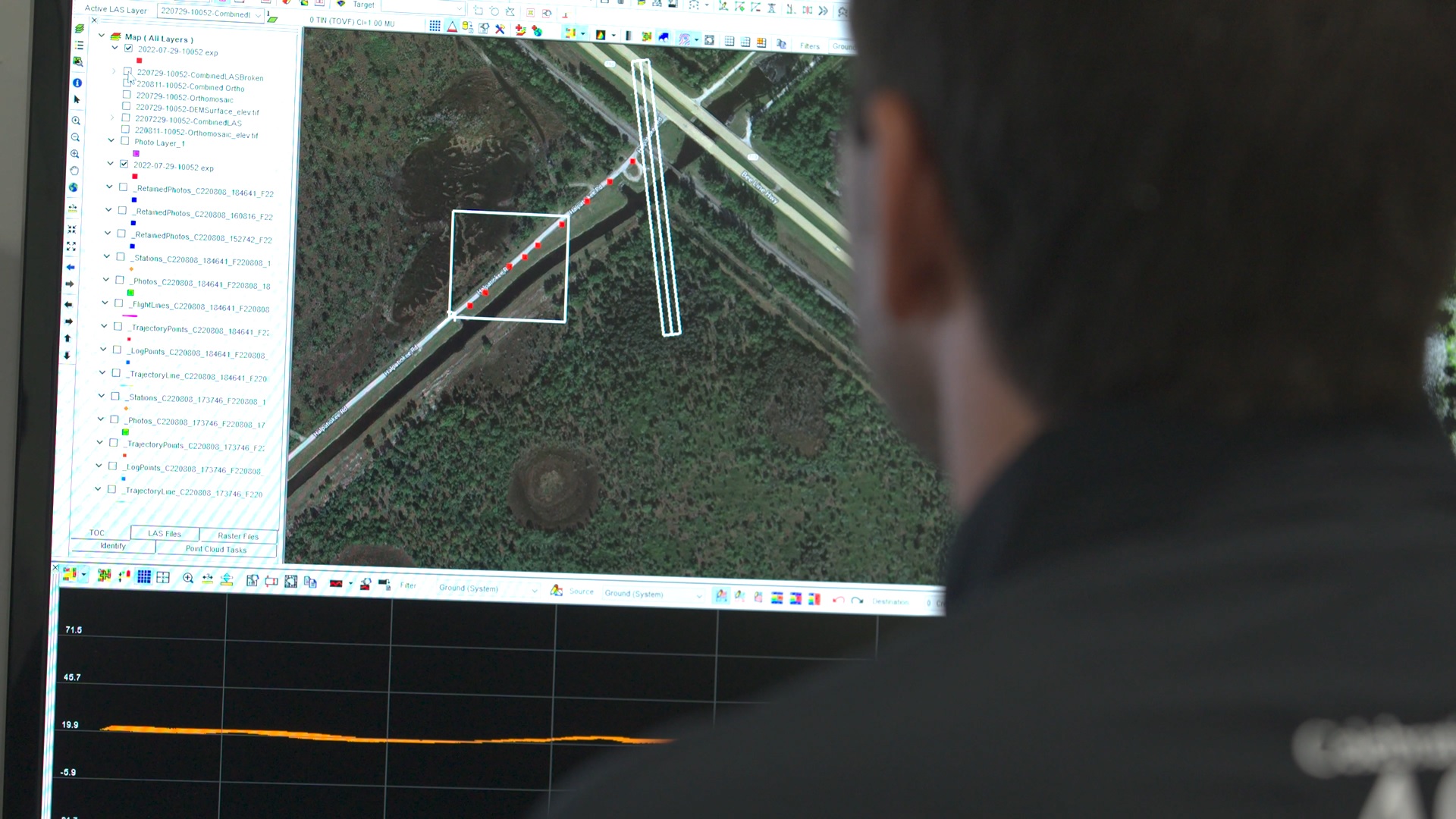
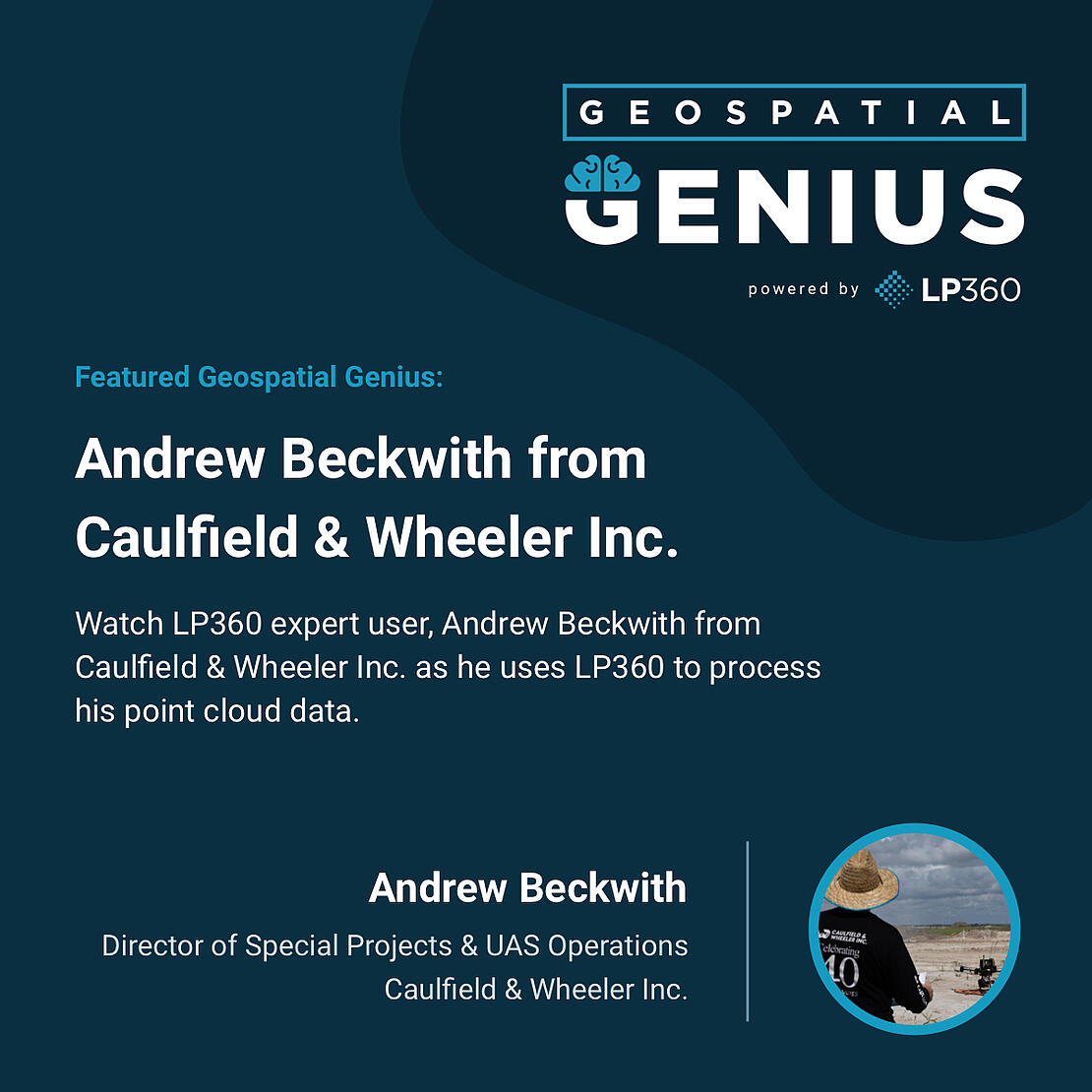
We’ll learn why industry experts turn to LP360 to process, analyze, and maximize their survey data. In the first episode, our featured expert user, Andrew Beckwith (Director of Special Projects & UAS Operations at Caulfield & Wheeler Inc.) harnesses the processing power of LP360 Drone to process UAV LiDAR data into useful deliverables. Click the image below to see how Andrew processes the raw flight data from their TrueView 3D Imaging System.

Become a Geospatial Genius
LP360 is well known and used by geospatial professionals in surveying, civil engineering, transportation, mining, construction, forestry, and utility companies to process point cloud data and create highly accurate deliverables.
LP360 now offers two product lines, to help streamline your workflow for all of your LiDAR and photogrammetry data processing needs. LP360 Drone is the core product for drone geospatial data workflow. Transform your LiDAR and imagery data with visualization, quality check, classification, 3D editing, and analysis capabilities.
The LP360 Geospatial product line will process captured LiDAR data or images from any aircraft or mobile sensor of your choice and analyze and extract value for large LiDAR datasets.
Each of the software product lines provides tools for rapid visualization and derived product generation with advanced features, such as automatic classification and feature extraction. LP360 can create and manipulate point cloud data directly from industry-standard LAS format without any time-consuming importing or converting processes.
Also, mdInfinity has merged with LP360 Drone, giving customers of Microdrones access to the powerful data processing features and deliverables in our LP360 Drone software.
Learn more about our LP360 LiDAR & photogrammetry 3D point cloud software or schedule a time to meet with one of our sales representatives today to add LP360 to your workflow.