The EasyOne Drone Lidar system is SMALLER, SAFER AND EASY TO USE
The EasyOne is an easy choice for serious geospatial pros. You get a drone, payload, RC, flight planning, post processing software, workflow, training, and support all from one company. Learn all about the all new EasyOneLiDARUHR+, the EasyOneLiDARUHR, and UHR Lite in this webinar replay.
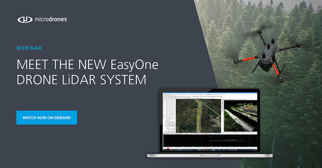
Discover the advancements of our EasyOneLiDARUHR+, EasyOneLiDARUHR, and UHR Lite models in this webinar replay. With our state-of-the-art 4th-generation drone technology, the EasyOne systems have a more compact design, enhanced optimization, reduced weight, improved safety, and increased efficiency.
Setting a new industry standard, the EasyOne drone LiDAR system outshines competitors by delivering a compact size without compromising on carrying survey-grade LiDAR equipment. Its portability allows for easy transportation in small vehicles, easy maneuverability in the field, and seamless adaptability to your surveying and mapping projects.
In this Webinar we’ll cover:
- System Overview
- Technical Specs
- Data Processing & Sample Datasets
- Customer Feedback
If you’re ready to get started with the all new EasyOne drone LiDAR system, schedule a meeting with one of our helpful representatives today, to help select the system that best fits your needs.