Meet the EasyOneLiDAR NDAA with all of the convenience, ease of use, and accuracy of our EasyOne system, now with NDAA compliance, including the LiDAR and imaging payload.
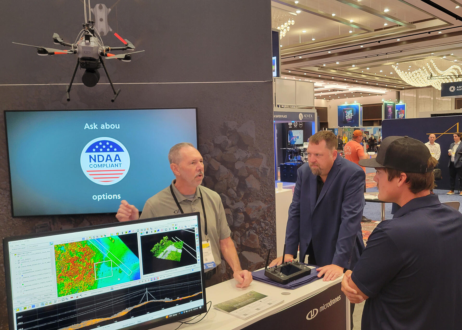
At this year’s Commercial UAV Expo, you couldn’t miss the EasyOne Drone LiDAR system featured prominently on display as you entered the main hall. The Microdrones booth was conveniently located next to the main entrance, making it an ideal location to announce the all-new EasyOneLiDAR NDAA system. This new system is perfect for DOT, government, and data security-sensitive requirements.
In the video below, Vivien Heriard Dubreuil, CEO of mdGroup discusses the New EasyOneLiDAR NDAA System from our booth at the Commerical UAV Expo.
Microdrones is pleased to present the all-new EasyOneLiDAR NDAA-compliant system, showcased at the Commercial UAV Expo. This cutting-edge product is a survey-grade, fully integrated LiDAR drone designed to meet NDAA specifications. Built on a similar platform as the EasyOne drone LiDAR system, which was launched earlier this past year the key features of the New NDAA-compliant version include:
- Three 20MPx cameras (equivalent to the TV535 model)
- A 128-channel LiDAR sensor (the new Ouster OS1)
This comprehensive system includes the drone, battery, payload, and remote control, making it a truly unique offering in the market, which all conveniently fit in a compact carrying case.

At the Commercial UAV Expo, Microdrones unveiled the NDAA-compliant version, designed specifically for projects requiring NDAA compliance. While similar to the original drone, the NDAA version comes with a distinct ground control station, featuring a different remote control and communication link. Most importantly, it boasts an NDAA-compliant LiDAR sensor and compatible cameras. Today, Microdrones is the first to offer a fully integrated NDAA-compliant drone surveying system on the market.
Additionally, each Microdrones system comes with LP360 data processing software, offering advanced features. A notable recent addition is LP360 Cloud, which enables easy project sharing and storage. This enhancement fosters efficient collaboration among teams located in various places.
For more information on the new EasyOneLiDAR NDAA system, schedule a time to meet with one of our representatives.