
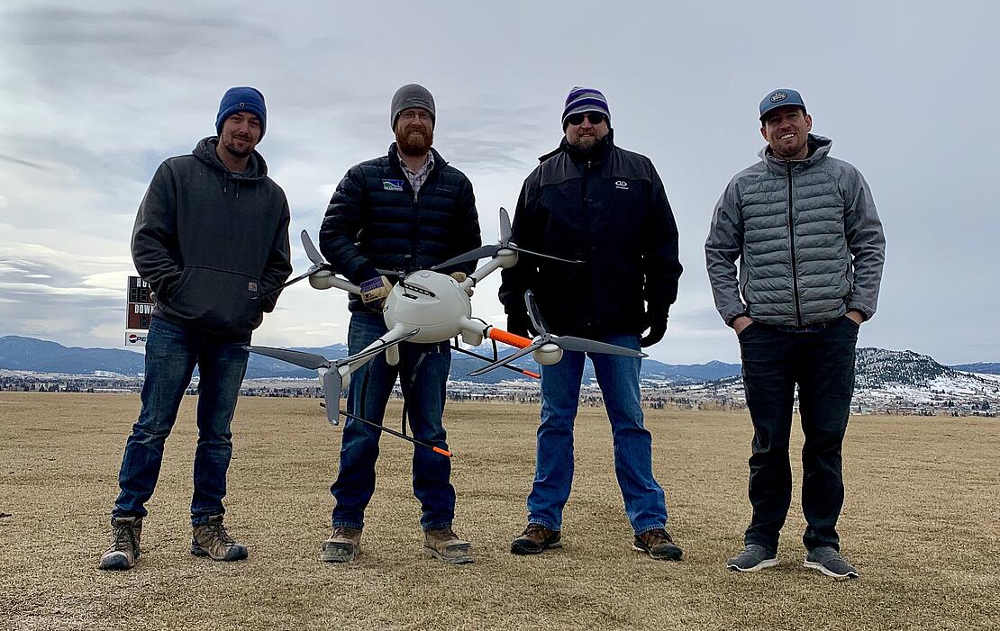
The Microdrones World Tour lands at Water & Environmental Technologies in Butte, Montana
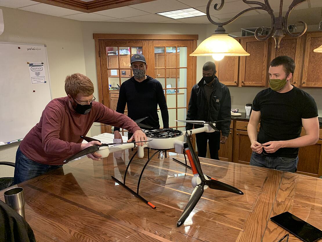
The Microdrones World Tour recently made a stop in the Pacific Northwest United States at our new customer Water & Environmental Technologies (WET). Aaron Beach, the regional sales manager for the Northwest was joined by Microdrones UAV Pilot Tapiwa Piloto who led the team in training and orientation. Team members from WET included Stephen Frazee, Survey Manager, Brad Rutherford, GIS Specialist and Tim Driscoll, Staff Hydrogeologist.
WET is a full-service environmental and civil consulting and engineering firm located in Butte, Montana, with branch offices in Anaconda, Bozeman, Kalispell and Great Falls, Montana. Their business was formed by a diverse group of experienced environmental and engineering professionals serving a wide variety of clients throughout Montana and the Pacific Northwest. WET provides professional environmental and civil engineering services to solve complex problems for its clients. WET has been providing UAV services since 2015 and continues to stay on the leading edge of UAV technology.
Aaron noted that the drive to Butte, Montana was very scenic, especially through the mountains, canyons, and river valleys. “Montana is stunning and I drove through some of the most spectacular landscape in North America. But that also makes for a challenging UAS market due to the extreme weather, high elevation, vast distances, and rugged, diverse, heavily forested terrain.”
WET’s Survey Manager, Stephen Frazee echoed these sentiments. “The mdLidar1000 aaS will allow us to offer accurate aerial surveys of heavily vegetated sites that we could not previously map with photogrammetry alone. By adding this unit to our fleet, it will greatly increase the types of sites we can survey and not have to worry about compromising the accuracy of our topo data.”
The mdLidar1000 aaS will also be used by the WET team to enhance their floodplain survey abilities. “In certain scenarios,” explained Frazee, “floodplain surveys can be near impossible on the ground with traditional GPS and typically photogrammetry cannot meet accuracy requirements. The mdLidar1000 aaS will allow to quickly survey a site and obtain accurate data that can be used for floodplain modeling.”
The Microdrones as a Service (mdaaS) sales model made it convenient for WET to get started using the mdLiDAR1000 aaS for producing 3D point clouds optimized for land surveying. “What I liked most about Microdrones was the fully integrated system,” said Frazee. “I didn’t have to deal with different manufacturers/suppliers for the drone and payload. Microdrones offers a complete system that is fully integrated out of the box with multiple payload options. They also provide the flight control and processing software. I also like the various pricing/purchasing options including leasing. This flexibility allowed us to find the right financial option for us as a company.”
If you or your business is interested in learning how you can conveniently get started with drone surveying equipment through Microdrones as a Service, CLICK HERE to speak with one of our friendly representative.