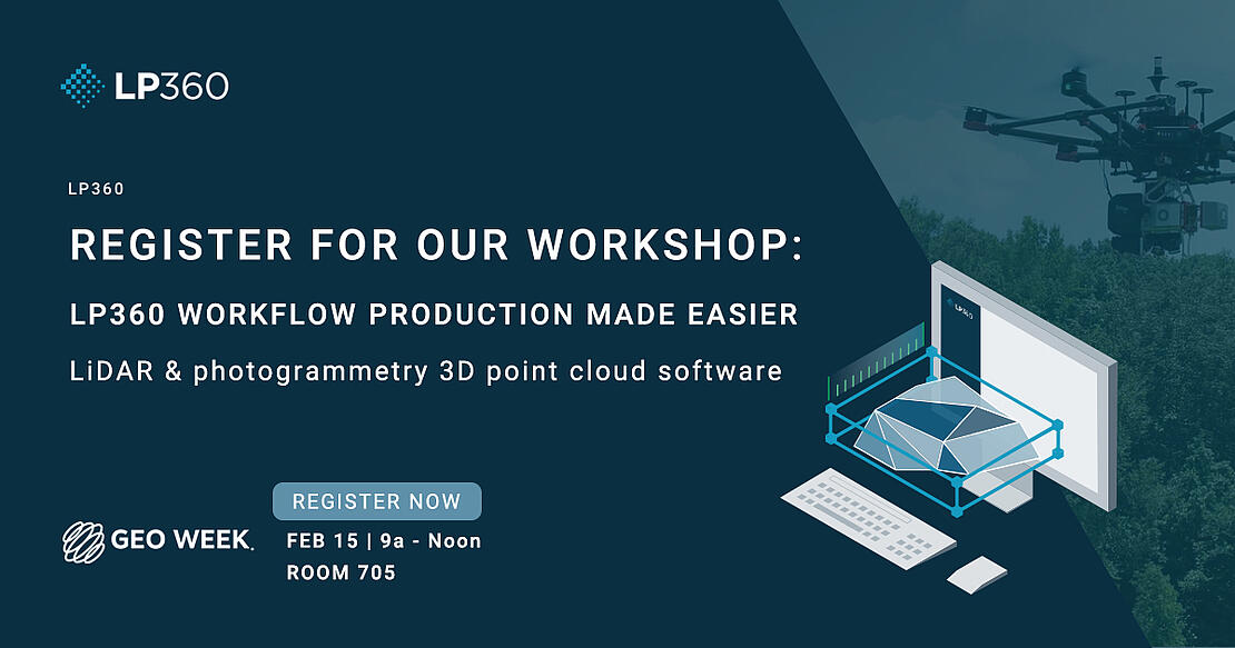
WORKSHOP: LP360 Workflow Production Made Easy
If you’re attending Geo Week 2023, join GeoCue and Microdrones for an informative workshop on LP360 Workflow Production Made Easy. Our standalone point cloud and image software handles multiple data sources and any dataset size, to help you get the most out of your geospatial data.
- Importing projects into LP360
- Working with Point Cloud tasks
- Accuracy Assessment. Debias and Deal with Noise
- Data Smoothing
- Automatic Ground Classification
- Ground Cleanup and manual Editing Tools
- Using the Export Wizard to get final products
This year, GeoCue and Microdrones have something for everyone. GeoCue and Microdrones have joined together to offer the very best in drone surveying equipment, geospatial software, workflow, training, and support.
Does your business need only software to process LiDAR data and images? LP360 allows you to process, analyze, and maximize drone survey data, producing valuable information and deliverables.
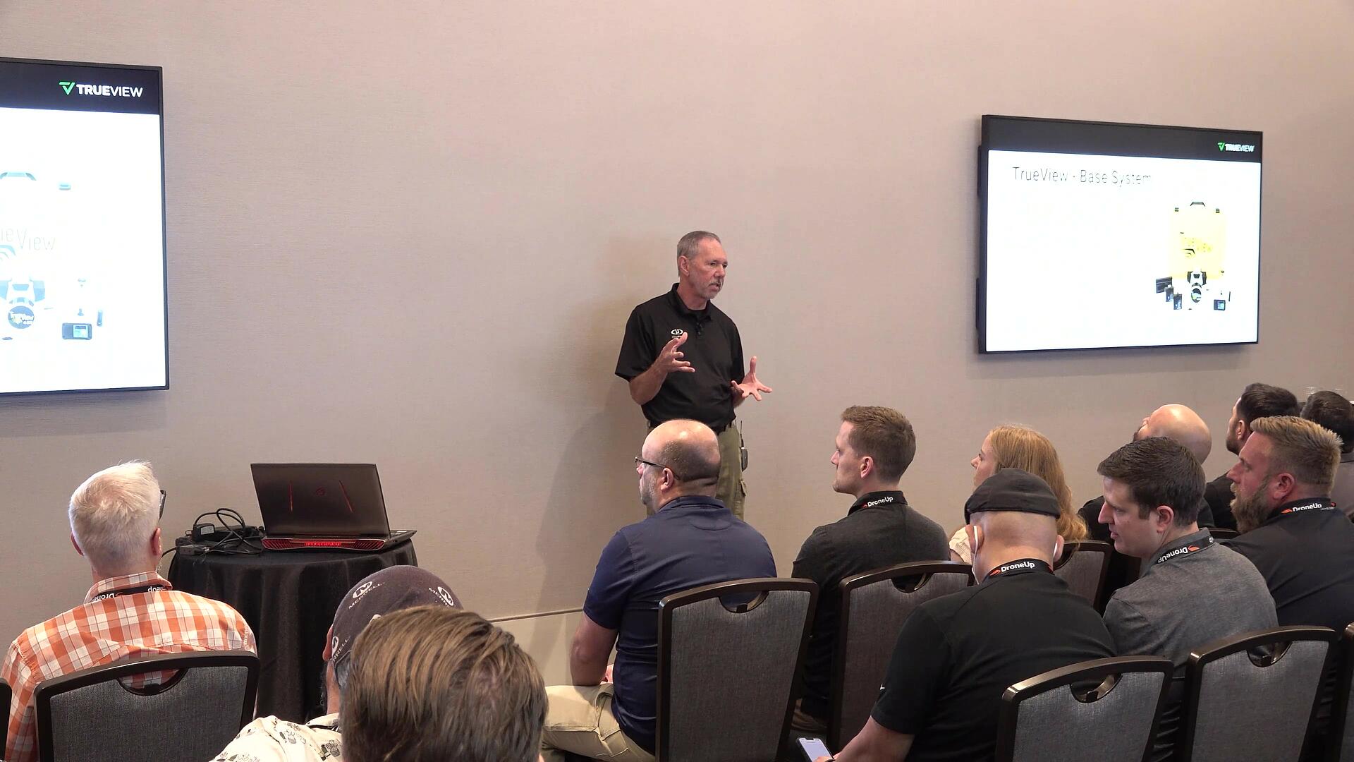
Are you in need of only software and the LiDAR payload? TrueView offers innovative drone LiDAR and photogrammetry sensors integrated into lightweight payloads compatible with all platforms that can carry the weight.
Or, if you prefer a fully integrated system then our product line from Microdrones offers complete end-to-end systems that include the drone, the LiDAR and imaging payload, software, workflow, training, and support.
See you at Geo Week 2023! To receive a FREE expo hall pass OR $100 off a Geo Week conference register at geo-week.com and enter GEO2330055 when prompted to enter a promo code.
Can’t make it? Schedule a time to meet with one of our informative representatives to learn how to make your processing workflow easier with LP360.