
As seen in Business Geomatics May 2018 Issue: Microdrones' President Vivien Hériard-Dubreuil discusses how integrated solutions make life easier for geospatial professionals.
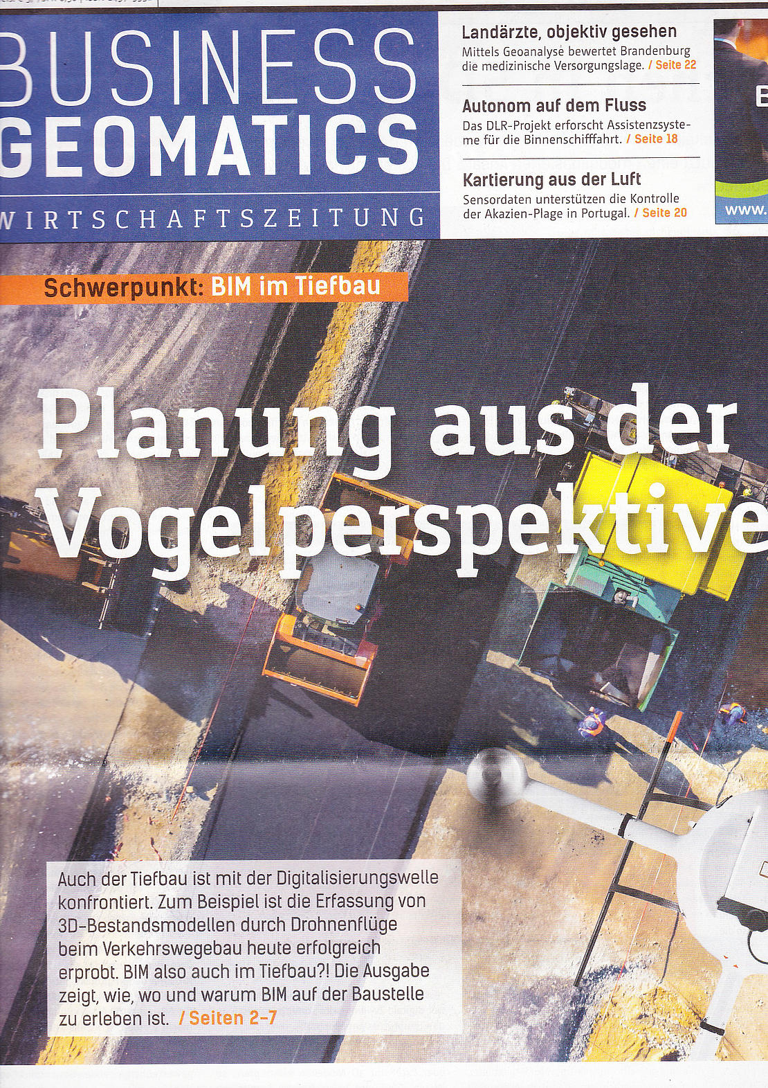
Read the interview in English below or view the original article in German by clicking the image below or here.
Business Geomatics (BG): Why did Avyon and Microdrones merge in 2016?
Vivien Heriard Dubreuil (VHD): Back in 2016, the loosening of restrictions in the U.S. regarding use of unmanned aerial vehicles for commercial purposes (Part 107) opened vast opportunities throughout North America. To serve these new markets, it made sense to combine the complementary capabilities of German UAV manufacturer, Microdrones with geospatial integrator Avyon. Avyon had been using the Microdrones aircraft platform for its systems for about three years, so this was a “perfect storm” to combine the best commercial UAV platform with the best fully integrated sensor payloads to bring to market world class surveying solutions.”
BG: Microdrones launches solution packages such as the methane detector and the 3D Laserscanner. What strategy are you following?
VHD: Quite simply, our systems and solutions are centered on professional customers in the geospatial trades. We have strong relationships with our distributors worldwide within the Trimble network. Our sales teams are close with those field teams and they are constantly uncovering customer needs. Overarchingly, professionals are looking for fully-integrated systems that make their job easy for a given application. So as we uncover opportunities from the field, our criteria to proceed is, Can we neatly tie it all together and achieve a better result than by current methods? Can we make the surveyor’s life easier?” We started with the mdMapper series of photogrammetry-based packages. Next came mdTector, based on customer demand for an easy to use methane gas detection system. Most recently, we saw the need for very quick processing of data to create 3D pointcloud models, which lead to the development of mdLiDAR1000, which is the first in a series of fully integrated LiDAR solutions.
BG: Back in the days we had traditional parts in surveying such as manufacturer, distributor and services, is his logic not applicable anymore?
VHD: It’s important to point out that this new technology does not REPLACE the people, talent or principles of surveying, but rather it is complementary. You still need professional surveyors supervising the process of unmanned aerial data collection. This is not just flying a drone and the drone does all the work. Where the technology stands today, it empowers the surveyor to be more efficient and more effective in the field. This is a product for surveyors… not at all a product for replacing surveyors.
BG: The development of a complete solution requires different professional qualifications as compared to UAV development – how did you gain those in Microdrones?
VHD: People. We aggressively recruit and retain the brightest minds across disciplines- of course aviation, but also software development and, most importantly, geospatial professionals. Dr. Mohamed M.R. Mostafa, our head of Product Development, has more than thirty years of experience in building geospatial companies, products and services that professionals want to invest in. He was recently the key presenter at a special ASPRS workshop held at the International LiDAR Mapping Forum in Denver, Colorado.
BG: How is the distributor network being developed by Microdrones?
VHD: We are rapidly signing Trimble distributors- at last count 38 worldwide. We support them with training, sales and marketing support and technical support. We empower their sales forces to bring this new technology to their local markets and established base of field professionals. We help those end users celebrate their success and best practices via an aggressive marketing presence. Word gets out about the ease of getting good results with our fully integrated systems and we have new distributors asking questions. It’s a rewarding challenge to distribute this new technology globally and we’re thrilled about our partners in the Trimble network.
BG: You’re talking about the easy-to-use-Surveying-instrument with the mdLiDAR1000 e.g., are you not competing then with partners as Trimble or others like Leica Geosystems?
VHD: Similar to the way in which integrated drone packages complement surveying professionals, these systems complement the other products that professionals are buying from Trimble. The mdLiDAR1000 is a really strong and easy-to use solution for aerial mapping, but it is not the best or suited for all of the applications covered by Trimble. Solutions based on drones are an addition to the tools that surveyors usually use. Unmanned aerial systems fill a niche and are well positioned between among ground systems, manned aircraft systems and satellites. In addition, our mdLiDAR1000 and mdMapper1000DG systems contain the Applanix APX-15, which is a “Trimble-Powered” component.
BG: Where do you see the potential in development of the sensors in regards of utilizing drones? What solutions will we see in the future?
VHD: LiDAR is going to play an important role in our future. It started with our mdLiDAR1000 system and we are building out a full lineup to meet a range of field needs. Bear in mind that we view our role as delivering a full end to end solution: Plan, Fly, Process, Visualize. So we’re not just talking about the drone… not just the drone and sensor… but also the integrated workflow and software that ties it all together and makes life easy for the professional. As I say, “We are not just a drone company- we’re a solutions company… that’s why we call our product lineup mdSolutions.
BG: Back to the pure platform, where are there still significant differences between platforms and where do you see possibilities of improvement?
VHD: As the first commercial UAV platform, Microdrones is known for its long flying time, stable flight characteristics, and ability to operate consistently in harsh weather and conditions. Constant improvement is embedded in our culture… although our drones may look the same over the past several years, the hardware, firmware and software inside has been entirely reworked and constantly improved. We are always learning, improving, and developing. Hardware development has been part of our DNA since the beginning and we still continue to invest in it today. I truly believe that what makes us unique at Microdrones is that we master hardware and software and to tie it together with efficient workflows and best in class support.
BG: Will Microdrones also enter the fixed wing market?
VHD: Not in our plans right now- that’s because we have more than enough markets to address with our existing VTOL product range. Our focus is to properly manage our growth with VTOL within the geospatial applications and distributors.
BG: How do you see the German speaking (DACH) market compared to others internationally?
VHD: The DACH region has always been important for Microdrones. It’s our third biggest market globally in sales. The end-users in DACH are well educated and appreciate the value proposition of our solutions. This market seems to have a well-developed leadership in safety and regulations- that’s important for widespread adoption.
BG: How important is it for users to have access to a working mobile connection?
VHD: Not necessary today but in the future this will become very important, especially as flying beyond visual line of sight becomes more commonplace globally. We are very excited to be working with Deutsche Telekom and DFS, Deutsche Flugsicherung Telekom on the safe and fair integration of drones into German airspace via mobile network to achieve shared airspace.
BG: SORA- will the market of multicopters also benefit of an easier-to-approve BVLOS flight?
VHD: Yes, especially for our solutions such as the mdMapper1000 DG which is perfectly suited for corridor mapping and benefits from the endurance of the Microdrones md4-1000 platform."
BG: Where do you see the biggest growth potential in the drone market?
VHD: Continued expansion and adoption within geospatial and construction industries. Drones are a natural fit, both from a safety and efficiency standpoint, and also from an investment standpoint. Gains in efficiency are so strong, that they outweigh the investment cost for a typical surveyor, land development or construction firm.
BG: Where do you see Microdrones in the next 5 years?
VHD: We aim to be the global leader in providing professionals with the hardware, software, workflow, training and support they need for geospatial tasks to produce the right data. Before you see big machinery moving earth and erecting structures, our systems will have flown the area to collect data used to create a development plan.

Interested in making unmanned aerial vehicles a part of your business? Talk with our friendly, helpful experts!