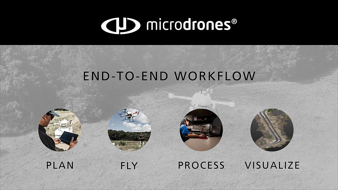
On a visit to Crafton Tull, in Conway Arkansas, Microdrones created their latest videos demonstrating the Microdrones workflow of Plan, Fly, Process an Visualize. You can watch the videos below:
The first video demonstrates the Plan & Fly portion of the Microdrones workflow. Nick Tucker, Crafton Tull Vice President of Energy Services, recognizes the benefits and abilities that Microdrones delivers. He says, “What really sets apart the mdLiDAR1000 is the ability to extract the data from the office. With the imagery and LiDAR data, we’re able to go back to the project from the office and extract any data that we missed.”
In the video, Jeff Davis, Survey Coordinator & UAV Pilot, walks us through the planning portion of the mission and demonstrates the ease of programming a flight in mdCockpit. Then, he takes the controls of the UAV for the Fly portion of the video. “Once you enter all of your parameters,” Jeff explains, “the application comes up with a flight plan for you. From there, you identify your take-off spot, create a couple of alignment waypoints, basically a GPS calibration. Then once it goes to the waypoints, it flies it’s flight block.”
Crafton Tull is using the mdLiDAR1000 to do topographic surveys. Tucker says, “the benefits of using a UAV for surveying are speed without sacrificing the accuracy. So, we’re able to capture the same amount of data that we would doing conventional methods but do it ten times as fast.”
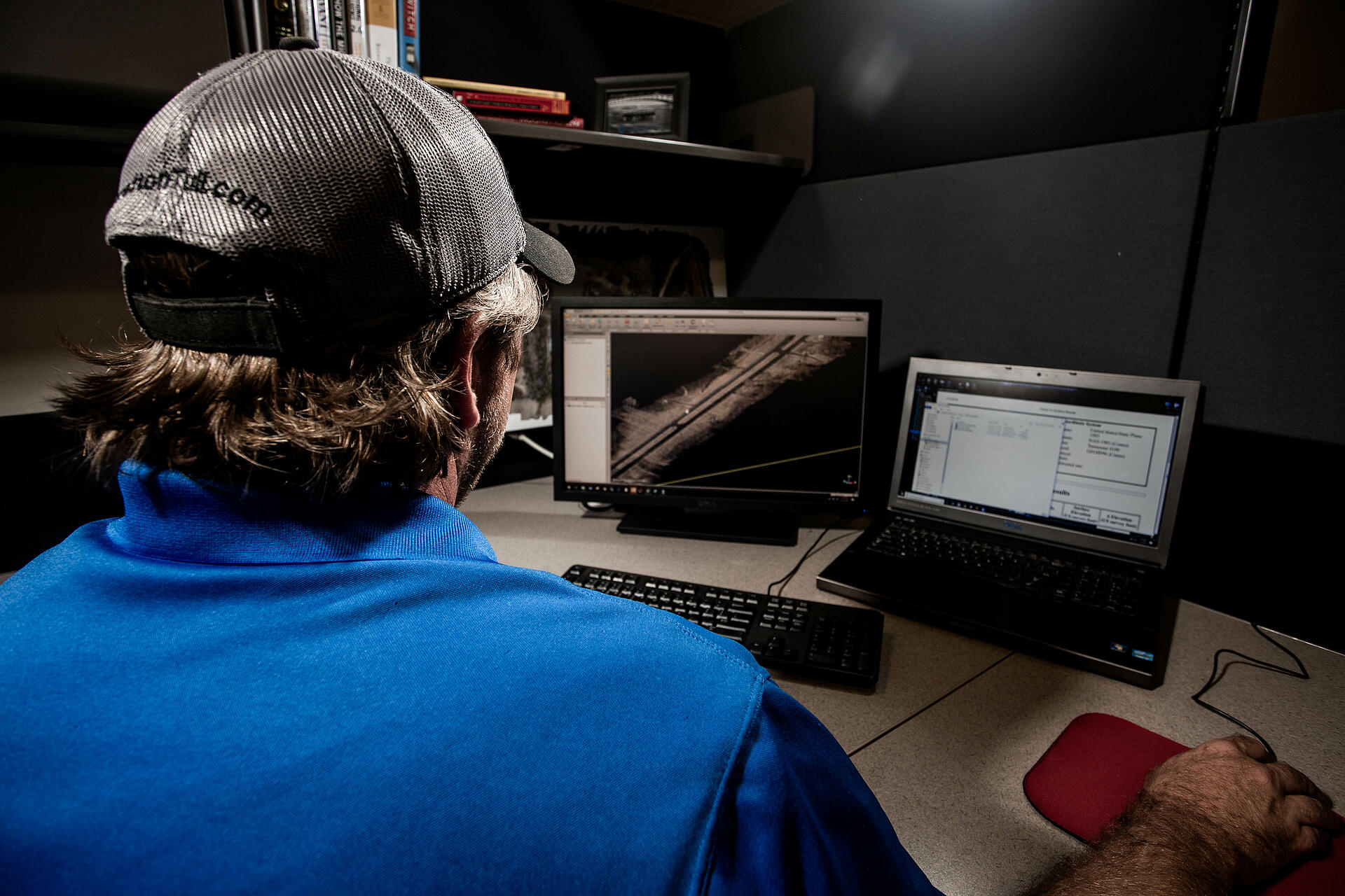
The second video highlights the powerful deliverables, like pointclouds and orthomosaics, that the Process and Visualize portion of the Microdrones workflow generate. “Once we land that UAV, we’re able to quickly get the data from it,” says Davis. “Within a matter of minutes, we have our LAS files and can put them into our processing software.”
After the data is processed, then the final visualization is created. In the video, Nick Tucker shows how the data can be used. “What you’re looking at here, is the result of the LiDAR flights,” he explains. “This is a colorized, three dimensional pointcloud. The pointcloud can then be classified into the ground, the buildings, and the vegetation all on their own color so that we can isolate. This allows us to extract only the ground model. From that, we can build the surface model and the contours from it.”
If you would like to learn how to integrate the Microdrones workflow into your surveying and mapping projects, CLICK HERE to contact one of our representatives today.