Traditionally, boundary surveys are not conducted using drone technology. However, to save time and money on a 550-acre survey project in southern Texas, CBD deployed Drone LiDAR to determine the boundary along the banks of the Colorado River, which has changed significantly since the original survey from the late 1800s.
See how they plan their mission, collect data, and overcome some Texas-sized challenges in this 3-minute drone surveying case study.

The Colorado River 3-minute Case Study: Drone LiDAR vs River
Over 14,000 linear feet of steep river banks, muddy terrain, and even some Texas Sized Cattle were just a few of the challenges facing Carlson, Brigance and Doering, Inc. in Bastrop, Texas for a land boundary survey along the Colorado River.
The area has seen significant changes in recent years, with large tracts being turned into single-family housing developments. The property boundary in question follows the low bank of the river, but the banks have moved significantly since the original survey was done, back in the wild old days of the late 1800s. Doing a new boundary line survey here is not as simple as it sounds which is why CBD is relying on drone LiDAR from Microdrones.
Aaron Thomason, CBD Vice President, remembers when the company decided to add drone surveying equipment to their toolbox, creating a unique opportunity for Laura Brown, CBD’s GIS specialist and UAV pilot.
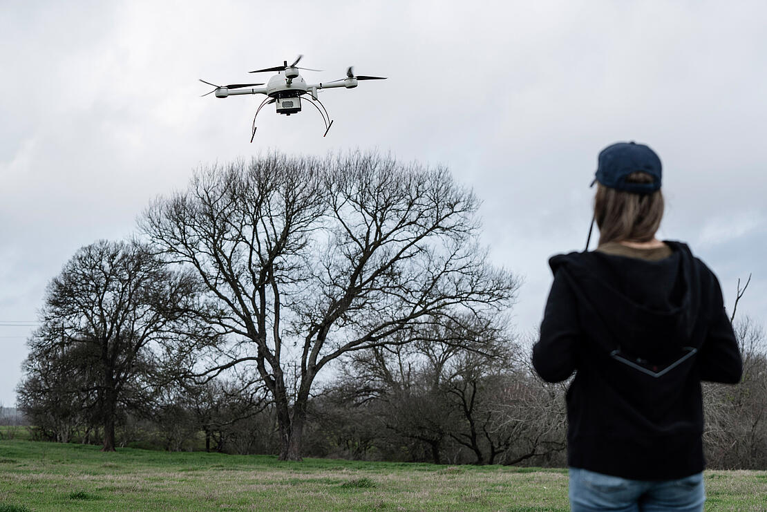
Out in the field, Laura spends the first day trying to keep her hat from flying off under some high Texas winds. For safety reasons, it’s decided to postpone the flight and wait for more favorable conditions. Day two sees Laura back, early and chipper, with a warm sun on her back and favorable flight conditions. Two flights are carried out successfully before the wind picks up again.
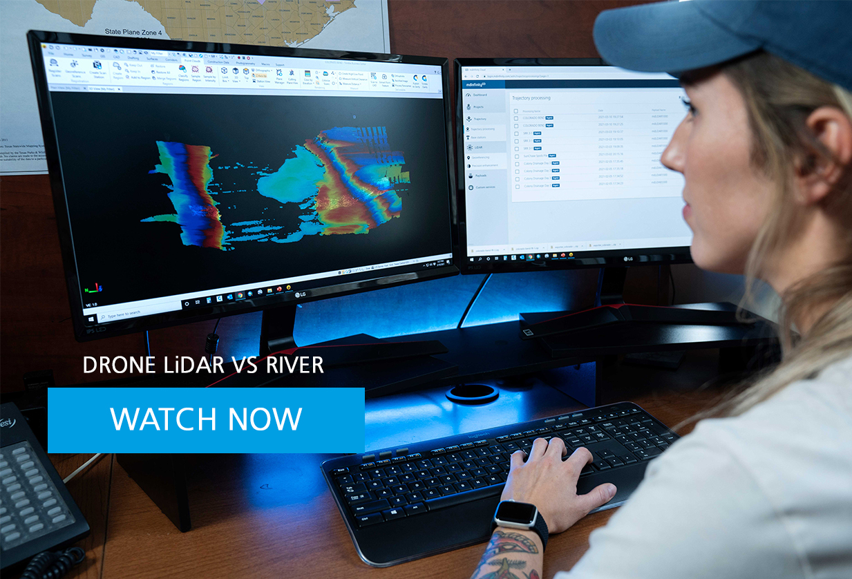
With data from these flights in hand, Laura heads back to the Austin office, to download the data files and starts post-processing, classifying regions, and filtering out trees to visualize the ground. Even with the delays due to weather, the project is still ahead of schedule thanks to the drone technology.
On day three, the final flights were conducted to complete the drone survey. At the office, Laura merges all the data sets. Trajectories are checked against base station data. Point cloud density is more than satisfactory and the project is a success. The crew has been working under a tight deadline. The results are delivered on time and on budget, and they are outstanding.
If you’re interested in using drone LiDAR to create boundary surveys, schedule a time to talk with one of our helpful sales representatives today.