Professional Drone Usage Continues to Grow
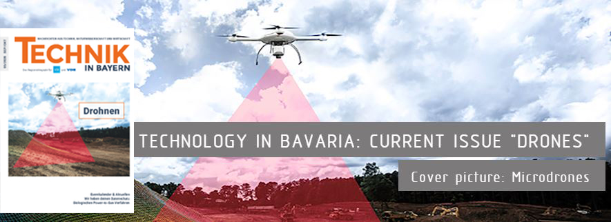
The German magazine, Technology in Bavaria, recently ran a special issue on the growth of drone usage in Germany and featured Microdrones as their cover-story. The timing coincides nicely with the recent launch of mdaaS- Microdrones as a Service, which makes drone surveying equipment and solutions accessible to an even broader market of surveyors and geomatics professionals.
"Technik in Bayern" (Technology in Bavaria) is a magazine comprised of the joint membership of the VDI Association of German Engineers / District Association Munich, Upper and Lower Bavaria eV , the VDI District Association Bavaria Northeast e. V. and the VDE, Association of Electrical, Electronics and Information Technology eV, Southern Bavaria.
The magazine appears bimonthly with a circulation of approx. 25,000 copies, since 2013 by MuP-Verlag .
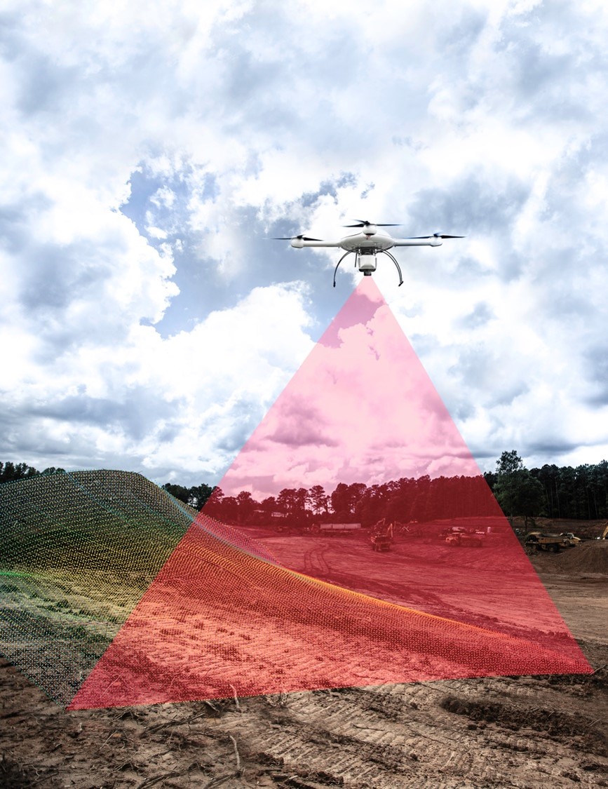
Unmanned aerial vehicles are becoming increasingly important in the area of commercial use
Advances in drone technology has triggered a real boom in recent years. Over half a million drones are in use in Germany today - and the trend is still rising.
According to a study by the BDL (Bundesverband der Deutschen Luftverkehrsbetriebe, German Aviation Association), the number of ready-to-use drones will increase to around 850,000 nationwide by 2030. However, this growth is no longer being driven by private users as was the case before, but by commercial users. According to the BDL, the commercial use of drones will become increasingly vital to business. Currently, one out of 24 drones are operated commercially in Germany. However, by 2030 BDL estimates the proportion will grow to one out of six drones.
Companies benefit from new optimization potential
The reason for the strong growth spurt is the high optimization potential that professionally used drones provide. Processes can be significantly accelerated, accuracies increased and costs minimized.
The continuous and, above all, fast development of the technology in this sector ensures that the options for commercial use of drones are becoming even more diverse. This presents impressive opportunities for companies.
A bird's-eye view is a real asset for many industries
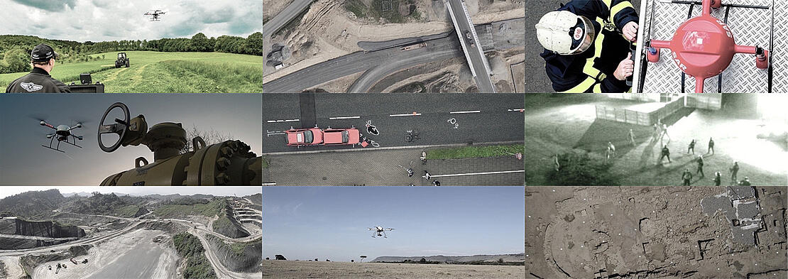
The areas where professional drones can be used is growing and becoming more diverse. They provide important data, whether for surveying and mapping, inspection of infrastructure such as wind turbines and high-voltage lines, or in the areas of science and research as well as public safety.
The use of unmanned aerial vehicles has considerable advantages, particularly in the construction industry. The low-margin surveying system helps drones to save time during surveying processes, thus increasing productivity and the quality of the results. Traditional inspection and mapping tasks can be labor-intensive, time-consuming and sometimes dangerous. Unmanned aerial vehicles enable easy access to projects in remote locations or dangerous areas without endangering human safety. This applies, for example, to rough terrain, dilapidated structures, high-altitude locations and areas that have been hit by natural disasters.
Construction companies also benefit from the precise mapping of roads, canals, railways, power lines and other linear structures. The creation of maps and models in 2D and 3D enables more accurate project calculations. Another advantage is that construction sites can be measured while their operations are in progress. This means that work does not have to be interrupted and machines can continue to operate. Last but not least, the use of drones improves the monitoring and safety of construction sites.
Unmanned aerial vehicles also offer great savings potential in the mining industry. Drones are less expensive than the helicopters traditionally used in the industry to take aerial photos - and they offer mining companies mapping options that deliver significantly better results.
The agricultural industry also makes use of the advantages of data acquisition from the air. Farmers can monitor their livestock and the condition of their plants, as well as identify pest infestation before it affects the harvest. With the data provided by the drone, potential problems can be identified early, and the use of water and fertilizers can be optimized, thereby minimizing losses. Thermal imaging can also help improve crop yield.
Integrated complete solutions deliver real added value
Drones provide impressive images and collect important data. In order to qualify as a powerful tool for commercial use, a drone has to be adapted and combined with additional systems and payloads. Through the integration of sensors, cameras, mapping systems and evaluation software, the aircraft becomes a high-performance complete solution, thus also ensuring optimal evaluation and processing of the recorded data.
Meaningful data deliverables such as 3D point clouds, orthomosaics or methane inspection maps are available to users. This also enables much more precise planning.
Microdrones: developed for professionals by professionals
Microdrones is an industry leading aerial mapping technology company that offers integrated drone surveying equipment specifically developed for the surveying, mining, construction, oil & gas and precision agriculture industries. A team of aviation engineers, software developers and payload integration experts have been developing professional drones since 2005. Microdrones has engineering centers and manufacturing facilities in Germany, Canada, France, China and the United States, as well as a sales, support and distribution network spanning six continents.
"Microdrones is more than just a drone company. Our solutions are fully integrated with advanced surveying and mapping technology. We are renown for our industry-leading flight times, high resistance to harsh weather conditions and, above all, by intelligent integration,” says Mirjam Bäumer, Marketing Director EMEA & New Territories at Microdrones.
The Microdrones UAV itself, the world’s first commercial quadcopter, is a modern marvel of aviation. The microcontrolled flight system offers stable flight characteristics and reacts immediately to changing winds in order to maintain perfect flight characteristics. The carbon fiber construction is very robust and also insulates the components inside, allowing the drones to fly even in extreme temperatures and humidity levels. With one engine each at the front, rear, right and left, the aircraft has stable flight characteristics. Since less energy is required for stabilization, the drone can use more power to carry heavier loads.
"We also developed our own lean operating system," explains Bäumer. “It is used as the basis for a flexible autopilot. Our customers can adapt this to the specific needs of their mapping project.” With its UAV integrated systems, Microdrones provides powerful and easy-to-use tools that simplify flight planning, monitoring and analysis. The software is also available as an app, which means that operations can be controlled directly from the tablet.
Mirjam Bäumer, Director of Marketing, EMEAWith Microdrones as a Service, we give our customers the greatest amount of flexibility. The user puts together their own solution package according to their individual needs. The customer therefore only pays for what they actually use.
Rent geodetic productivity instead of buying
State-of-the-art technology and high-quality materials come at a price. The investment that companies have to make if they want to optimize their processes with drones can be significant. Recently, Microdrones redefined the sales process by giving companies the opportunity to buy or rent drone surveying equipment without making a large start-up investment. This new pricing model is called Microdrones as a Service (mdaaS).
As part of this plan, the complete hardware and software solutions are now available for rent. The precise surveying equipment and software used are determined within the scope of a service contract, and a package is put together that is exactly tailored to the respective requirements. Microdrones takes care of the maintenance and upgrades.
"With Microdrones as a Service, we give our customers the greatest amount of flexibility," emphasizes Mirjam Bäumer. “The user puts together their own solution package according to their individual needs. The customer therefore only pays for what they actually use.”
Users also can choose post processing specifications in Microdrones proprietary mdInfinity data processing software, so that expenses can be matched on a project-by-project basis to the data deliverable demands of the client.
“Data post processing choices are also flexible,” Mirjam explained. “Our mdInfinity software allows users to Pay Per Project, or to purchase an Unlimited Plan.”
Another advantage is complete compatibility. As a result, the user always has access to new functions and updates. And the drone provider attaches great importance to ensuring that these are being continuously developed further.
"The constant, customer-oriented improvement of our solutions is a high priority for us. As a result, our modern, integrated technology is evolving very quickly,” Bäumer notes.
The development of the drone market will continue to be exciting. Over the next few years, we can count on further technological innovations that will bring more comfort and transparency to a wide variety of areas of life and business.
Microdrones is well positioned to be a global leader in providing industrial tools for complex mapping challenges, transforming raw data collected in the field and creating valuable high-quality survey grade data.
If you are interested in drone surveying equipment, CLICK HERE to contact a member of the Microdrones team.