
As a provider of commercial aerial mapping solutions, the Microdrones sales team invests significant time talking with professionals who are seeking new ways to get work done. These prospective customers have a sense that drones can improve their workflow, but as the saying goes, “The devil is in the details.” Details make the difference between procuring a powerful business tool or getting stuck with regret. And in order to nail down the details properly, you must first start by examining the broader picture.
According to Mike Hogan, Sales Director for Microdrones in the Americas, “I help customers in the mapping, surveying and infrastructure inspection fields to understand the value of using drones. The biggest mistake I see people make when considering drones is talking too technical too early on. That’s why my #1 rule when talking with customers about drones is this…”
Let’s Wait Before We Talk About Drones!
“That probably seems like the last thing you’d expect to hear from a guy who works for a drone company. Don’t get me wrong – I will eventually explain why using an advanced unmanned aerial system will produce better results,” explains Hogan.
“But before digging into the specific features and technologies it’s critical to understand:
- what the customer’s business is,
- what data they are trying to collect, and
- how they are going to apply it.
Only then I can show the value and fit of using a highly accurate UAV for a prospect’s intended application. That’s a steep challenge if you don’t approach it the right way.”
A Good UAV Salesperson Will Ask You Many Questions.
Hogan and his team kick off every sales conversation by simply asking the prospect, “What are you trying to do?” By understanding your desired outcome and challenges, a good UAV salesperson becomes consultative, providing solutions that apply directly to your situation.
It’s About Problem Solving
“We’re as much in the solutions business as we are the drone business,” explains Hogan, adding “As a UAV company, prospects come to us with their greatest challenges and loftiest ambitions. Our job is to find solutions to overcome and achieve them, whether that’s through existing or entirely new technology.”
For Hogan, thinking about the value of his products in terms of the DIKO pyramid helps. Some of you may already know what the DIKO pyramid is, but for those of you who don’t, it shows how Data, Information and Knowledge are the building blocks of Organizational Intelligence:

The Foundation of Good Decision Making is Good Data Collection.
What does this pyramid have to do with using a drone? It very simply communicates the value and importance of good data collection. Starting at the bottom level of the pyramid, data is the foundation of organizational intelligence. If you’re going to make intelligent decisions as an organization, then you need to base those decisions on good data.
Of course, data is only as good as your methods of data collection. A top-quality, purpose-built UAV will provide you with the ability to collect data with an extremely high level of accuracy. The better the data, the stronger the foundation for good decision-making, and the better the outcome. That’s why your clients are (hopefully) paying you handsomely to map, survey or inspect land and assets.
Garbage In, Garbage Out!
According to Hogan, “The DIKO Pyramid is a good visual representation of why it’s worth it to invest in methods that achieve accuracy. I usually follow that up with one of my favorite phrases – garbage in, garbage out! “ He explains that if a user bases their decision-making on inaccurate data, they will make bad choices and have bad results.
Think of Garbage in, garbage out as a warning of the risks involved in cutting corners and using an inferior UAS or payload that is not purpose built for surveying and mapping.
Can We Talk A Bit About Drones Now?
If you’ve come this far, then you’re already on the right “flight path.” You’ll find a company to work with that will take a consultative approach and will take time to learn about your specific data collection needs.
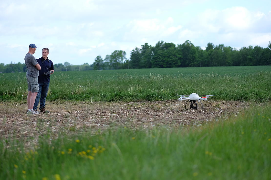
Mapping and Surveying applications are the most popular area of interest and the focus of Microdrones business. Following is a primer, using the experience of the Microdrones team to inform the discussion.
Demand and Distribution
Since Microdrones partnered with Trimble last year to become the preferred quadcopter solution for the Trimble network, Trimble dealers worldwide have signed on to provide Microdrones mdMapper packages to their surveying, mapping, inspection, construction, mining and geospatial customers.
According to Samuel Flick, Microdrones Sales Manager for Germany, “We are seeing some common need from the field and we’re able to answer that with our perfectly integrated mapping solutions. When you can provide greater efficiency, smoother workflow, and better data acquisition to professionals, the systems sell themselves.” Following are some of the benefits these systems offer for GIS pros:
- Worker Safety
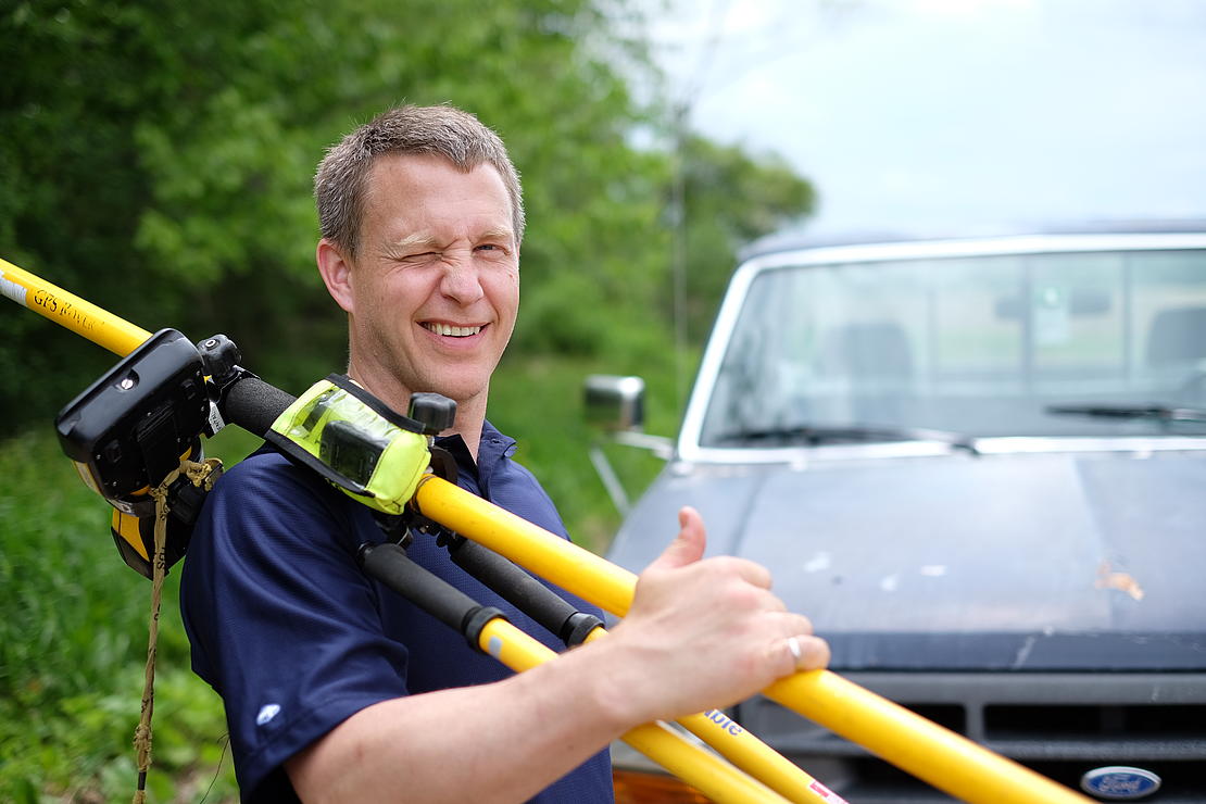
Easily tackle projects in areas that are difficult, dirty or dangerous to access – such as challenging terrain, crumbling structures, high elevations, and areas impacted by natural disasters. Microdrones most popular system, the mdMapper1000DG employs direct georeferencing technology from Applanix. Using this system, a surveyor can skip installing Ground Control Points, which can be dangerous, depending on the terrain or structure being surveyed. - Time is money
Collecting data previously required extensive groundwork or very expensive manned aircraft. Using a drone allows quick and affordable data collection; that’s one of the most important benefits for geospatial professionals. mdMapper packages allow users to spend less time in the field collecting data, and because the drone is perfectly integrated with its mapping payload, workflow and data is easier to manage and post process. Our DG systems enable you to post-process data in a fraction of the time by reducing the image front and sidelap - Interruption-Free Data Collection
Survey live construction or mining sites without interrupting people, plans or machinery. You’ll no longer have to stop work and equipment to collect the data you need, making you more valuable to your customers. - Expanded Services
You already have a client base that knows, likes and trusts you. Consider providing more of the services they need. By incorporating swappable payloads into your system, you can offer add on services and deliverables. Microdrones offers optional accessory kits that integrate perfectly with our systems. These include inspection, thermal, multispectral, and soon LiDAR and methane gas detection. - Leadership
Customers are curious about UAV surveying technology – so providing it demonstrates that a business is an industry leader at the helm. Faster, more efficient data collection differentiates you from competitors and positions you as a subject matter expert in an emerging technology.
Ready to take the next step yourself?
If you’re ready to further explore whether drones might be a good fit for your business, then the team from Microdrones will be happy to help you. Simply send a meesage including your name, contact information, and a brief description of what type of work you are thinking of doing with drones.
You can also read more about Microdrones packaged mapping solutions here.
Read the German article online at AutoCad-Magazine on page 18 and 19 here.