Meet the Latest in Fully Integrated Drone Surveying Equipment from Microdrones
The updated product lineup includes cost-competitive options to meet all your drone surveying needs
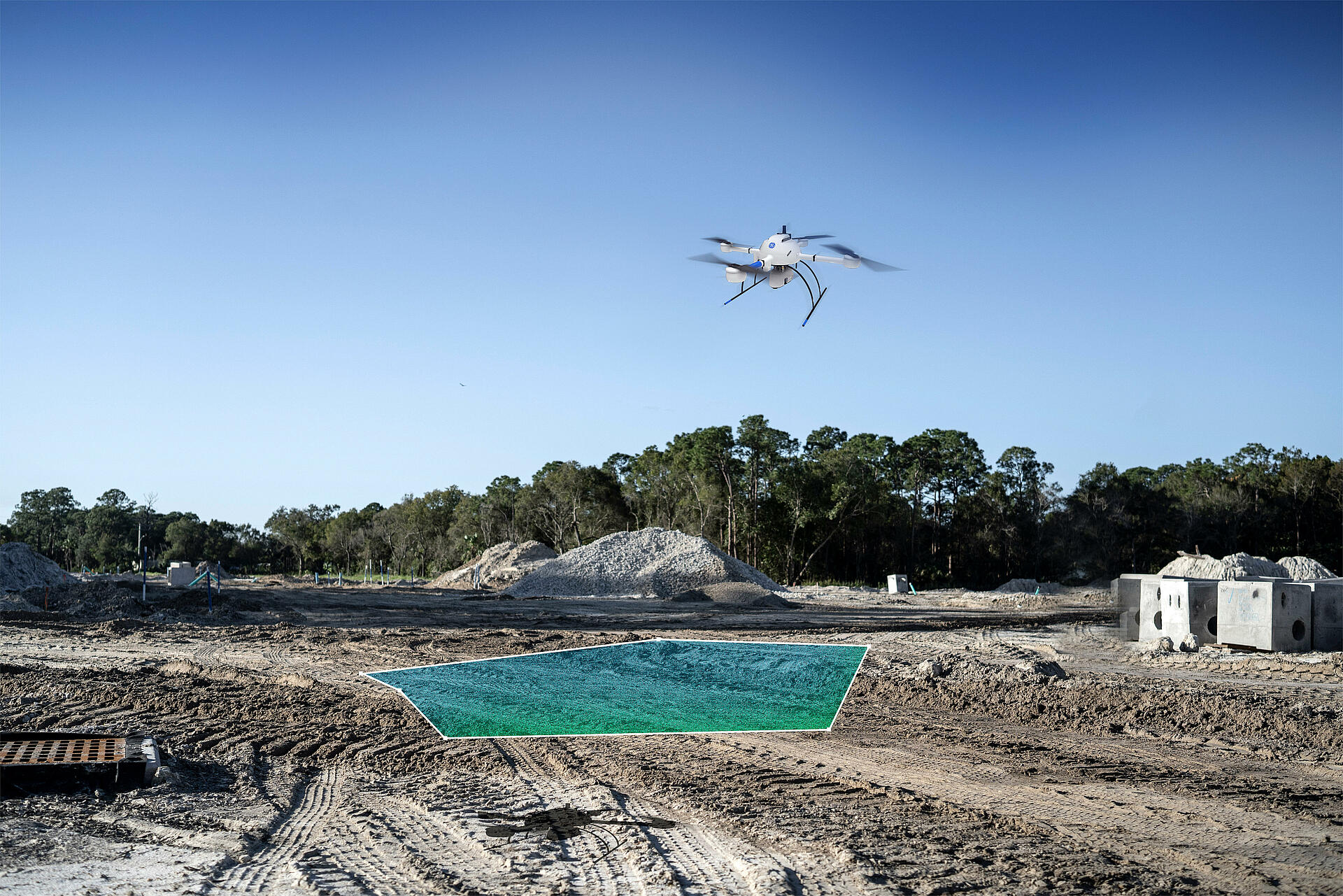
Microdrones continues to lead the way in producing complete end-to-end systems that include the drone, the LiDAR and imaging payload, software, workflow, training, and support. Closing out 2022 and heading into the new year, the full drone surveying product lineup from Microdrones now includes the mdLiDAR1000UHR, mdLiDAR1000UHR Lite, the mdLiDAR3000TripleCam+ and the mdLiDAR3000TripleCam.
Now included in the GE industrial drone line is the mdLiDAR1000UHR and UHR Lite. mdLiDAR1000UHR means ultra-high resolution via a 32-channel LiDAR sensor, fully integrated with an improved 72.5° field of view camera. This translates to more point density, better detail, and improved deliverables.
Don’t need the full resolution of 32-channel UHR? Microdrones offers a cost-competitive UHR Lite configuration, delivering 16 channels of LiDAR that can easily be upgraded later via a firmware update.
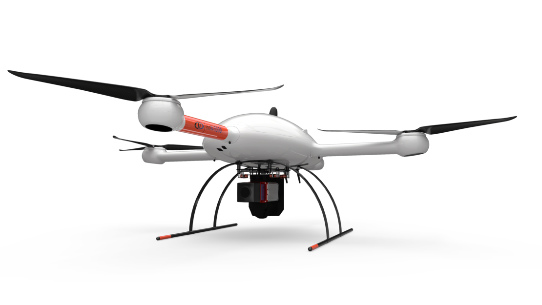
The Microdrones expert drone line is now comprised of the mdLiDAR3000TripleCam+ and the mdLiDAR3000TripleCam. These options use the lifting power, resilience, and efficiency of the Microdrones md4-3000 aircraft platform and integrate a Riegl miniVUX‑3UAV and three 20 MP GeoCue Mapping Cameras for a total of 60MP. The mdLiDAR3000TripleCam + features an Applanix APX20 IMU while the TripleCam has Applanix APX-15 IMU.
According to Frank Darmayan, the Chief Operations Officer, the triple mapping cameras (right, left, nadir) enhance the photogrammetry collected by the system. “The third RGB nadir camera provides a direct view of the ground below,” he said. “This maximizes data collection for time flown while improving the quality of photogrammetry and colorized point clouds our customers can provide.”
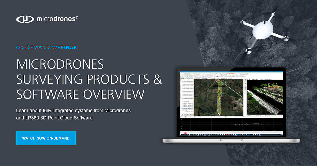
The complete product lineup from Microdrones, along with the TrueView 3D imaging sensors, and LP360 point cloud software from sister company GeoCue, provide a full portfolio of drone surveying options to meet customers where they are in terms of technology adoption, budget, and resources. Vivien Heriard-Dubreuil, Microdrones CEO, is confident they are well positioned to provide aerial surveying for a wide range of industry segments around the world.
“At Microdrones, we provide fully integrated drone surveying equipment,” said Heriard Dubreuil. “And with GeoCue, we’ve added a full range of entry to advanced-level LiDAR and multiple camera payloads along with the LP360 software. This combination ensures that we can offer our customers the most comprehensive set of solutions for drone LiDAR and imagery mapping in the market.”
If you're in the market for drone surveying equipment and software consider MIcrodrones and GeoCue. Schedule a meeting to speak with a member of our professional sales team.