Streamline your LiDAR workflows with LP360’s AI Ground Classification Add-On—faster, smarter, and more accurate ground segmentation at the click of a button.
Watch how BSI Engineering & Surveying uses aerial, mobile, and handheld LiDAR to boost efficiency in the new Down to Earth video series: The LiDAR Triple Play
Join GeoCue, RIB, and TS Engineering at GeoMeet Heilbronn on May 13, 2025, to explore drone LiDAR and TrueView GO handheld mapping solutions for surveying and BIM workflows.
Join GeoCue at Geo Week 2025 in Denver for personalized LP360 Support Sessions. Get one-on-one training, explore advanced tools, and optimize your workflow. Limited spaces—book now!
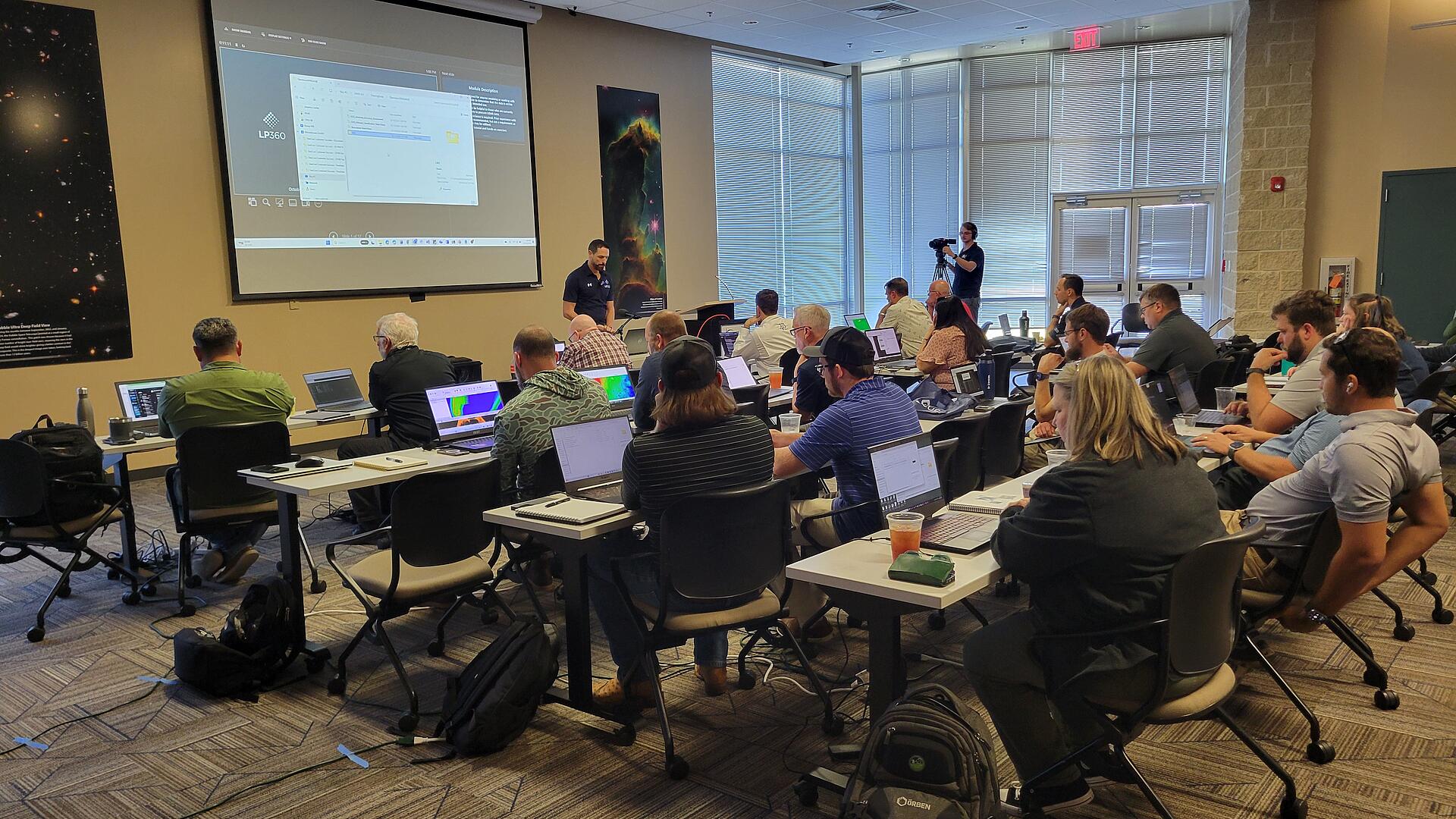
Watch the 2024 LP360 User Conference recordings! Learn about new LP360 features, ground classification, cloud tools, CAD exports, mobile data processing, and WGI's LiDAR integration.
Join GeoCue and Microdrones for a free LiDAR Tour Stop in Pittsburgh on Nov 14, 2024. Discover cutting-edge drone and mobile LiDAR solutions. Register today!
Join our webinar to explore the TrueView GO Handheld LiDAR Sensor, featuring SLAM technology for accurate, easy mapping. Perfect for indoor and outdoor applications!
See how to easily set up and use Concentric Targets for aerial LiDAR accuracy checks in this video. Enhance your workflows with precision and efficiency.
What are the top 5 reasons to join LP360, GeoCue, and Microdrones at the Commercial UAV Expo 2024 in Vegas? Read on and discover the latest in LiDAR technology, live demos, and exclusive offers. Visit...
Join the Drone LiDAR Tour in the UK on September 11 at Kingfisher Golf and Country Club. Learn about TrueView 3D Imaging Sensors, LiDAR tech, and LP360 software. Register now!
Learn why the Microdrones EasyOne NDAA Compliant Drone LiDAR System, ensures secure, efficient, drone surveying that is compliant with U.S. NDAA regulations.
We're pleased to announce the Lengemann Corporation joins the Microdrones network, expanding EasyOne Drone LiDAR systems and LP360 software distribution in Florida and the Caribbean.