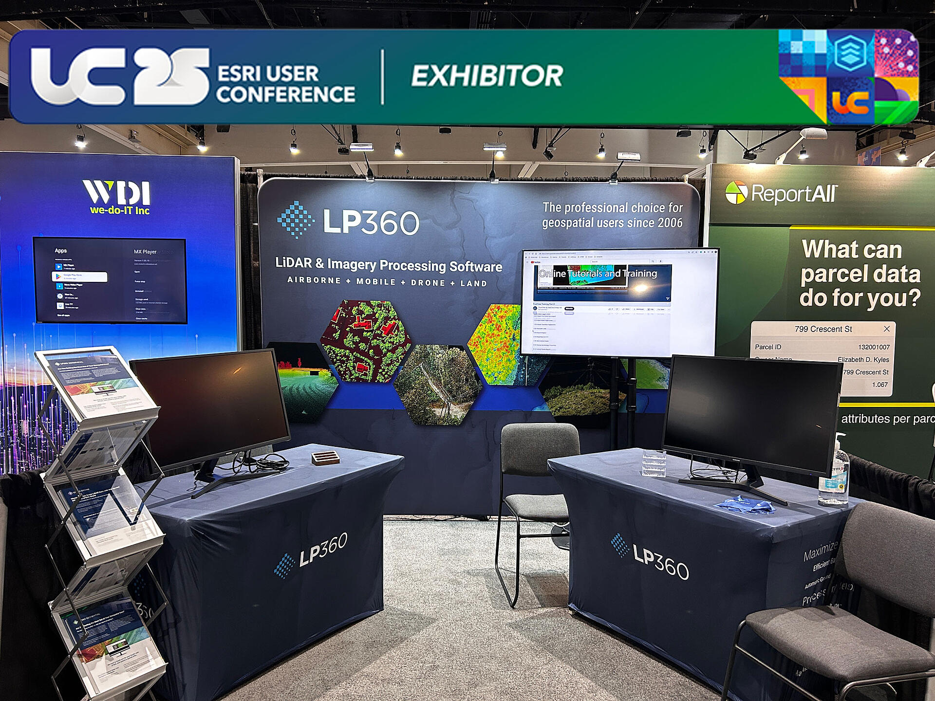
The LP360 team returns to the 2025 ESRI User Conference! Visit Booth 227 to explore LP360 software, ask questions and try out our tools for advanced LiDAR data processing.
Learn about LiDAR Point Cloud Quality Control in the February 2024 PE&RS Journal. Authored by experts from our sister company, GeoCue, this article explores automated accuracy and precision testing...
Microdrones is pleased to announce our all new EasyOne LiDAR NDAA System, ideal for DOT, Government, and Data Security Sensitive Requirements. Now, one of the most compact LiDAR systems on the market...
Commercial UAV News spoke with Madelyne McNab to learn about the new TrueView products, the product development process, use cases for the new systems, and GeoCue’s plans for the future.
We look forward to seeing you at ADIPEC with our distributor, Sigma at Stand 1130 in Hall 1, to learn about our drone surveying equipment, including fully integrated systems from Microdrones, TrueView...
With all the options available from Microdrones and GeoCue there are still many questions about getting started with drones and selecting the right technology for the job. In this article, we’ve...
In accordance with the FAA's Notice of Proposed Rulemaking (NPRM) on Remote Identification of Unmanned Aircraft Systems, Microdrones has updated the md4-1000 and md4-3000 platforms and received an...
In this interview with Vivien Heriard Dubreuil, learn how Microdrones and GeoCue fully serve the aerial LiDAR surveying market by meeting the needs of professional surveyors for all of their...
Take a look into the targets, objectives, people, and programs behind the marketing at Microdrones. At this year’s Distributor Meeting, the marketing team presented an overview of the programs,...
We’re celebrating and recognizing the best of the best among the Microdrones distributor network in North America, to share their sales, service, and marketing initiatives that contributed to all of...
Microdrones a contribué à un reportage vidéo sur la sécurité des drones et sur la voie empruntée par la FAA pour faire voler des drones au-delà de la ligne de visée visuelle (BVLOS). La vidéo explore...
Maintenant disponible sur YouTube et mdTV - Découvrez comment les experts de Spatial Data Consultants utilisent le drone LiDAR pour créer des données puissantes dans le cadre d'un relevé de...
Lisez cette nouvelle étude de cas d'Applanix qui présente Microdrones. Ils examinent comment Microdrones et Applanix jettent les bases d'un arpentage par drone plus rationnel qui fournit des données...
Schübeler Technologies, a sister company of Microdrones, recognizes that the aviation experts of tomorrow are the students of today. That's why Schübeler is proud to support projects like the Bionic...
We congratulate two of our leading distributors, AllTerra Central and Cansel who’ve announced the purchase of Allen Instruments & Supplies from Empire Technology Holdings, headquartered in Scottsdale,...
Since Schübeler Technologies is a sister company of Microdrones, we like to share news of their progress, updates, and or in this case, an influential use case of their Electric Ducted Fan technology....
BDiverse of Israel, a supply chain improvement and entrepreneurial consulting firm, is pleased to announce they will be supplying Microdrones surveying equipment throughout Israel, the Middle East and...
Udo Juerss, inventor of the world’s first commercial quadcopter and founder of Microdrones is being recognized for his ingenuity and collaboration by the American Institute of Aeronautics and...
The Microdrones sales team is taking its show on the road, engaging in direct, in-depth, face-to-face talks with key user communities and prospective clients all around the world. First stop was at...