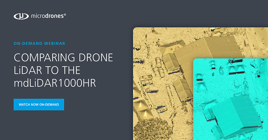
Review a side by side comparison of drone LiDAR data in this informative Webinar.
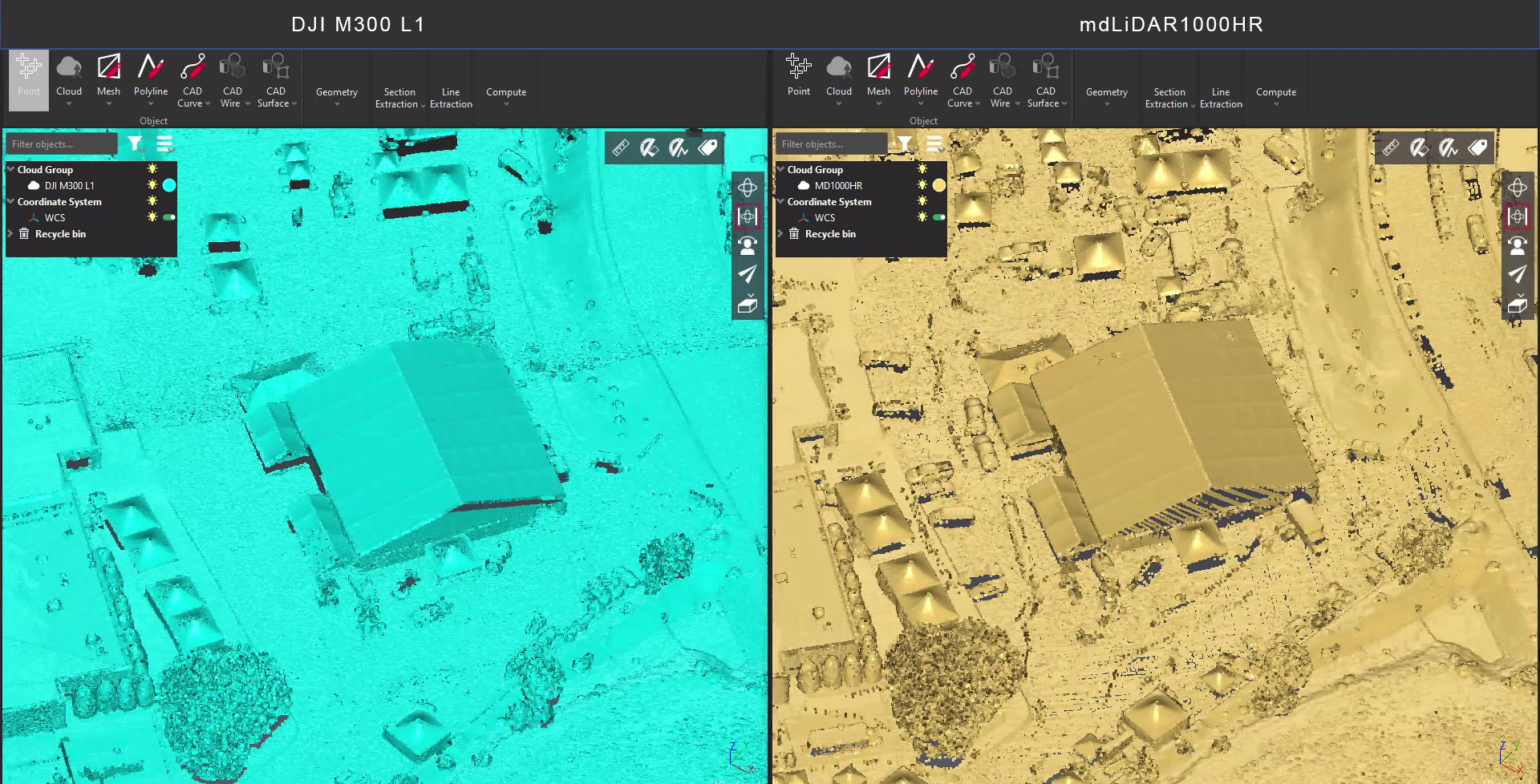
Are you considering drone LiDAR for your surveying projects? In this webinar we analyze and compare data collected from a Microdrones mdLiDAR1000HR and a DJI L1 examining accuracy, penetration, point density, and more. Register today to see the comparison.
In this webinar, Brady Reisch, the VDC Reality Capture Specialist from Kuker-Ranken, will analyze and compare LiDAR data collected from a Microdrones mdLiDAR1000HR and a DJI L1. We’ll also take a closer look at the fully integrated mdLiDAR1000HR covering the UAV platform, hardware, software, and workflow.
After the LiDAR data comparison, Aaron Beach, the West Regional Sales Manager for Microdrones will give you an overview of the mdLiDAR1000HR and why you should consider adding this piece of drone surveying equipment to your toolbox.
In this 30 minute webinar we cover:
- mdLiDAR1000HR benefits analysis
- Review the flight and area surveyed
- mdLiDAR1000HR and DJI L1 data comparison
- mdLiDAR1000HR overview
mdLiDAR1000HR: HR means high resolution point clouds and increased coverage is made easier and more accessible than ever. Register today to compare the data.
Want to learn more about making integrated drones a part of your geomatics work? Schedule a meeting with a representative from Microdrones.