MP Design Group used Drone Lidar to create a boundary and topographic survey to see if development was feasible for a local school district Project.
MP Design Group, a multi-disciplined architecture & engineering firm headquartered in Biloxi, Mississippi, uses drone LiDAR from Microdrones for surveying, mapping, and many other applications across the southeast United States.
Recently they used the mdLiDAR1000LR on a project for the Simpson county school district to create a boundary and topographic survey of the property for a feasibility survey. Learn more about the project and see the LiDAR point cloud created in this brief 3-minute case study video:
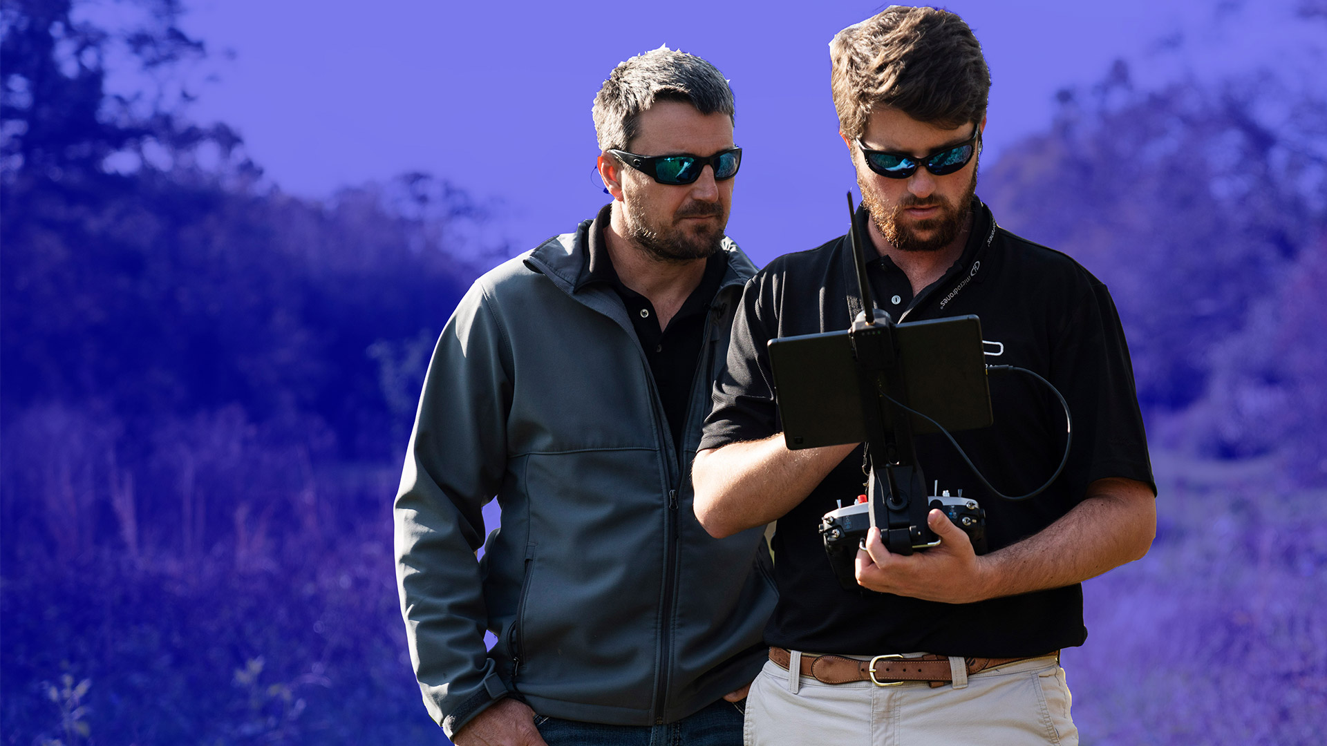
Greg Thompson is the VP of field services at MP Design Group and manages all drone surveying projects for the company. Recently, the Simpson county school district hired MP Design Group to provide a boundary and topographic survey of a heavily wooded area to see if the property was feasible to develop a new high school and athletic facility.
“We chose drone LIDAR to topo this site,” Thompson explained. “This was a fully wooded site with lots of, hills, creeks, and ditches that would make a traditional survey challenging. Using drone LIDAR made it more economical, faster, and ensured that we could provide a better end deliverable to our client.”
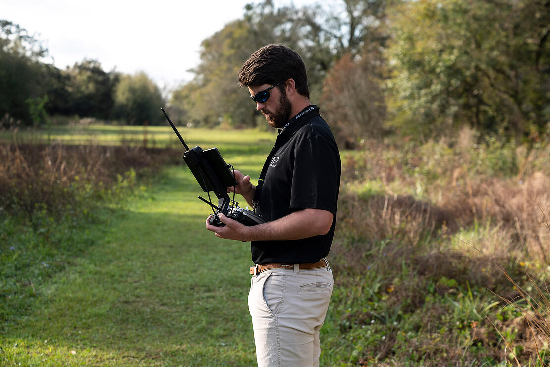
Riley Jacobs is the drone pilot at MP Design Group that Thompson relies on to create and execute a safe and efficient drone surveying mission.
“Planning this mission for Simpson county school district was pretty challenging due to the fact of the changing topography and how heavily wooded it was,” said Jacobs. “In addition, there was a large amount of underbrush and limited access to the property. However, the flight planning software, mdCockpit, made it convenient to plan this flight because we were able to use all the features which made us feel really confident about the mission.”
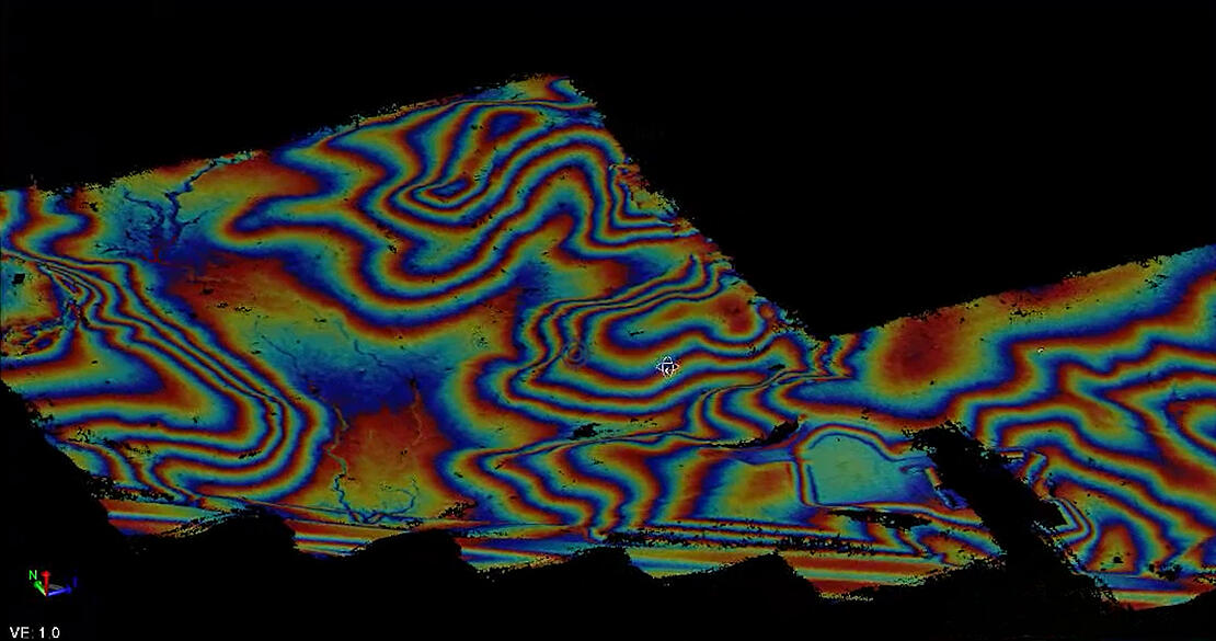
The drone surveying team from MP Design Group was able to successfully fly the wooded area and collect the LiDAR data necessary to see if development was feasible for the county school district. Once the mission was flown, Thompson processed the data in mdInfinity.
“With the data processed we were able to create an accurate point cloud and remove the tree canopy,” said Thompson. on. “This shows us all the features of the site including low areas, elevation changes, small ditches, and creaks that meander through the property. We can then create contours that allow us to see the elevation change of the property.”
“One of the main benefits of the mdLiDAR1000LR is that it provides us with millions of data points we can use to create these surfaces and 3D models to show our engineers, what is really going on in the field underneath the all the tree canopy.
About MP Design Group
MP is a multi-disciplined Architecture, Engineering, and Land Surveying firm located in Biloxi, Mississippi, and has succeeded in creating its vision 14 years in the making and they stand proud as the only FULL-SERVICE design engineering firm on the Mississippi Gulf Coast.
MP Design Group has structured its business model around a philosophy to perform any service in-house, which in turn is seamless for their clients. MP provides a full-service A&E firm, employing civil, electrical, mechanical, and structural engineers, as well as surveying, and in-house architecture under one roof.
If you would like to learn how you can put drone LiDAR to use for feasibility surveys and other mapping projects, schedule a meeting to talk with one of our sales managers today.