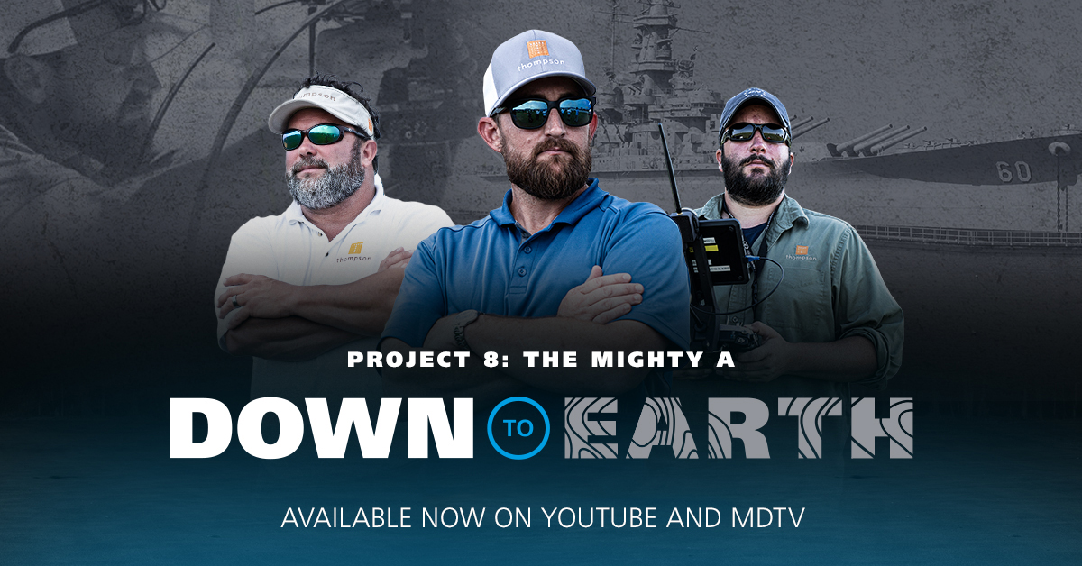
NOW AVAILABLE ON YOUTUBE AND MDTV
DOWN TO EARTH PROJECT 8: THE MIGHTY A
Down to Earth, a surveying reality series shows how real surveyors collect data and turn it into real deliverables, despite challenging conditions, rugged terrain and lurking dangers.
Permanently moored on the western shore of Mobile Bay, in Mobile Alabama, rests the USS Alabama, a retired South Dakota Class Battleship from World War II, that now serves as one of the most visited attractions in the state of Alabama and a local point of pride for the city of Mobile. To assist with preservation and maintenance efforts, Thompson Engineering will utilize drone surveying equipment to map the park and provide an orthophoto of the site and a digital twin of the Battleship to assist with future improvements.
However, an active tourist site, large structures and other challenges face the crew as they set out to survey the Mighty A. All the episodes are now available on YouTube or mdTV, including a new segment on Episode 4 called “Drafts and Drones” where the team reviews the project, shares their thoughts and insights all while enjoying a cold beverage.
WATCH EPISODE 1 BELOW:
On these episodes of Down to Earth, Robert Chrismon, PLS and Marketing Manager at Microdrones, joins the Thompson Engineering team to observe these challenges, provide drone surveying expertise, and offer data processing support. Brad Busby, the Survey Team Lead at Thompson says, “Having Robert out there is great support since he’s a licensed surveyor. He can relate to us and understand what we’re talking about.”
In episode 1, Robert and the team from Thompson Engineering meet up with Ross Kenney, the UAS Sales and Support Lead from Navigation Electronics, Inc. (NEI), a distributor of Microdrones integrated systems, who’s excited to demonstrate the capabilities of the all new mdLiDAR1000HR. According to Kenney, “We’re going to be able to scan every nook and cranny of that ship.” That’s because the new mdLiDAR1000HR creates high resolution point clouds and provides increased coverage.
WATCH EPISODE 2 BELOW
Episode 2 introduces Cody Floyd, Surveyor PIC at Thompson, who pilots the mdMapper1000DG to perform the photogrammetry mission. This will collect the data to create an orthophoto of the entire site and provide colorization for the LiDAR point cloud. Floyd, who also interned at the Park, explains the deliverables. “We’re here to do a survey of the Battleship Memorial Park to provide them with something they can use for future improvements and additions.”
Watch Episode 3 Below:
The third episode occurs at the Mobile office of Thompson Engineering where the team works through the process and visualize portion of the workflow. Jason Gibson, PLS for Thompson Engineering reviews the trajectory processing while working towards a final orthomosaic and then Robert Chrismon displays the digital twin of the USS Alabama in a LiDAR point cloud created in mdInfinity. Adam Mccullough, Survey Technology Lead at Thompson was excited to see the data. “To me, the data speaks for itself. Just looking at the point cloud, you can see how dense and crisp it is around the buildings, the planes and all the cars in the parking lot.”
Watch Episode 4 Below:
The final episode is a new segment featuring a round table discussion where the team reviews the project, shares their final thoughts and insights all while enjoying a cold beverage. Watch the entire series now and see how to create a digital twin with drone LiDAR and Photogrammetry.
If you would like to learn more about using drone technology to create digital twins, CLICK HERE to speak with one of our helpful representatives.