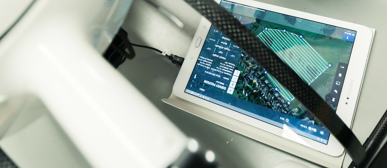
The use of unmanned aerial systems (UAS) is rapidly expanding as geospatial and construction companies learn how much easier and more cost-effective completing surveying and mapping projects can be with drones.
Unmanned aerial vehicles (UAVs), or drones, can vastly reduce the time spent on projects by collecting accurate surveying data in a much shorter timeframe. Because of this, their ROI is considerable. But there are other benefits, too. Drones also eliminate the need for humans to physically access hard-to-reach and dangerous terrain. To put it simply, UAS technology makes companies more efficient, profitable, and safe.
Drones for Surveying:
Where to Start – FAA Regulations
It’s becoming an accepted fact in the surveying and construction industries that drones offer a better way to complete mapping projects. But the technology is so new that most professionals are unsure where to begin.
The first step is getting legal permission. And that’s a lot easier than it sounds.
The Federal Aviation Administration’s (FAA) regulations are simple; users must obtain a Part 107 remote operator’s license – and that is a surprisingly simple task.
Under Part 107, commercial drone operators are required to:
• Pass an initial aeronautical knowledge test at one of 690 FAA testing centers across the nation
• Once you pass, you’ll obtain a Remote Pilot Certificate with a small UAS rating (a small UAS is any drone under 55 pounds)
• Pass a recurrent aeronautical knowledge test every 24 months
• Report accidents to the FAA within 10 days of any operation that results in injury or property damage over $500
• Conduct a preflight inspection on aircraft and control station systems
• Ensure the small UAS is safe for operation before each use.
Choose a System that was Created for Surveying
Deciding on which system to incorporate into your business can be tricky. One of the best tips we can give is this: choose a complete solution made specifically for your intended application.
This will make the process much easier. For instance, mdMapper systems are created specifically for surveying and mapping, so they include everything to get started: aircraft, sensor or camera, mounts, and software. There’s no guesswork involved, and you can rest assured than many companies like yours have been successful completing your intended goal with our system.
UAV Mapping and Surveying Training and Support
One of the fastest ways to get off the ground with a new Microdrones system is through the Microdrones mdAcademy training program.These programs were designed to help companies get started much more easily. They offer basic training on use of the aircraft, flight planning, safety, and other necessary skills.
Payload-specific training is also available for users of more advanced technologies like direct georeferencing and LiDAR.
So what about after the class? Once you know how to use your system and begin using it on the job, you are bound to have questions and to run into issues you don’t know how to solve.
Microdrones offers world-class technical support to answer questions and help you solve problems. Our support team is extremely knowledgeable and responsive. They will usually solve your issue within 24 business hours.
Best of all: no call centers. Simply fill out a ticket in the clients only section of our website. Someone will get back to you right away.
Have questions about Microdrones mapping solutions, training, or technical support? E-mail info@Microdrones.com.