The latest updates to mdCockpit 2022.3 make your projects safer and more efficient.
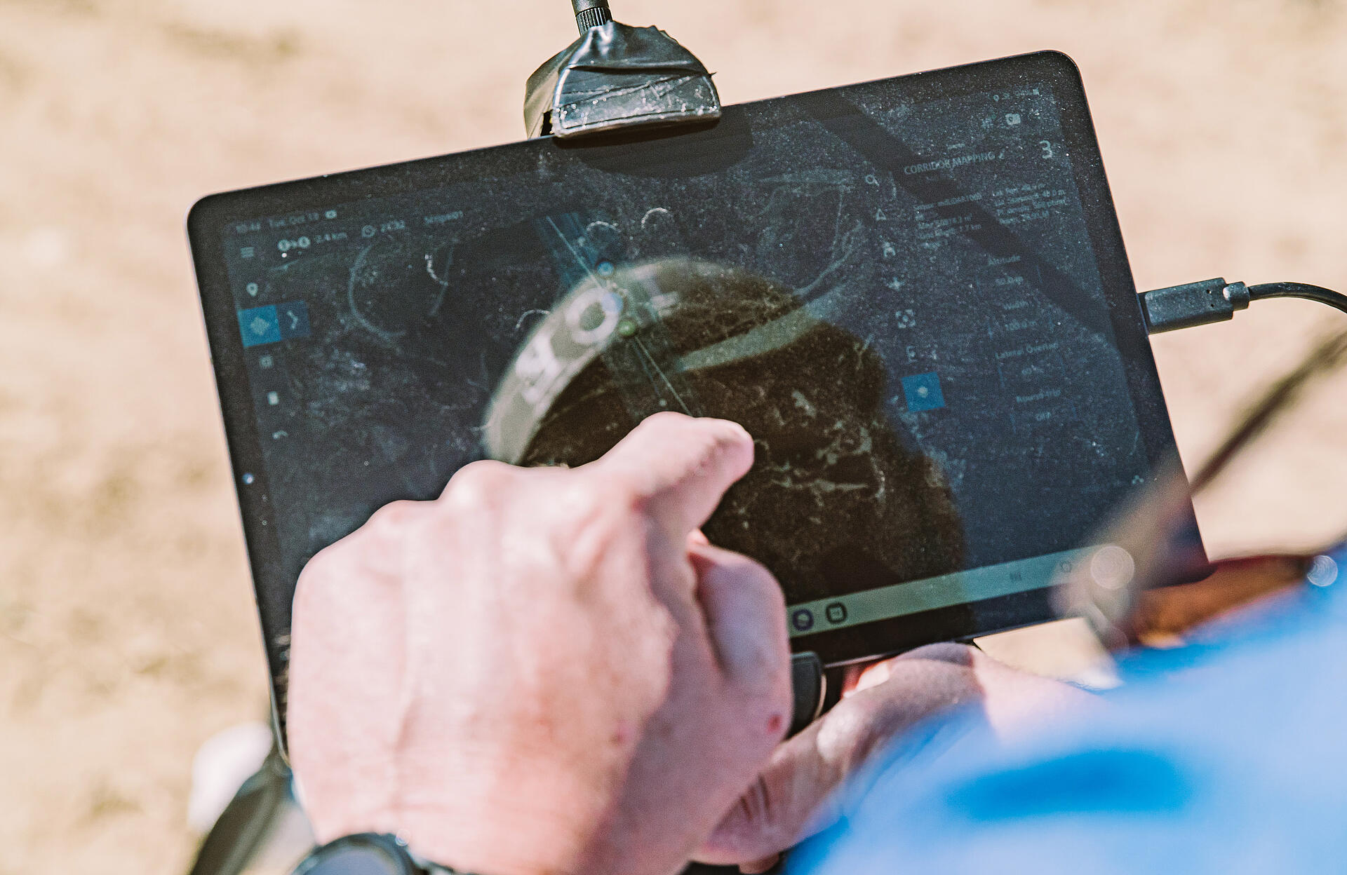
mdCockpit is the industry-leading app from Microdrones, designed for professional drone users to make it easy to plan, monitor, change, and control surveying flights right from your tablet. This app provides the ultimate function, flexibility and flight, right at your fingertips – and it just got even better.
The mdCockpit 2022.3 updates include new features that improve flight safety such as Real Time Terrain Follow, Flight Trail, and improvements to the interface. mdCockpit provides the ultimate functionality for planning your drone surveying projects right from your Android tablet. Watch the video below for a preview of the latest new features.
Real-time Terrain Follow
Real-time terrain follow uses the lidar payload to follow the terrain in real time for improved quality of data collection. This feature is currently only available to new customers.
The Real Time Terrain Follow function uses the LiDAR sensor to evaluate the terrain, during the flight, in real time below the UAV and reports the ground distance and highest object to the UAV. The UAV uses that ground distance value to follow the desired height. This allows for the highest quality of data collection on the market.
- Real-time terrain follow requires activation of the license.
- mdLiDAR1000HR or mdLiDAR1000LR
- payload firmware 1.0.9
- mdOS V4.78.
The Elevation Settings menu shows the options for map- based terrain follow and real-time terrain follow.

Flight Trail
To help monitor and track the progress of your mappng mission, mdCockpit has added the Flight Trail feature which shows you the path that the drone has already flown. You can select Clear flight trail on the location panel to remove the flight trail. To show the flight trail again, reimport it from the Layers menu.

Remote ID Monitoring
In accordance with the FAA's Notice of Proposed Rulemaking (NPRM) on Remote Identification of Unmanned Aircraft Systems, Microdrones has updated the md4-1000 and md4-3000 platforms and received an official Remote ID Declaration of Compliance from the FAA.
In mdCockpit, the remote ID modes are now named "EU rules" and "FAA rules".
In EU mode, the drone position is broadcast at all times but the pilot position is not broadcast.
In FAA mode, the drone position and pilot position are always broadcast. If the drone position or pilot position are not available, the remote ID stops the broadcast. The pilot position is updated in real time. If the remote ID is disabled, no information is broadcast.
Payload status
The payload status has a new user interface. This includes changes to the initialization dialog and the telemetry panel. The payload status is displayed when operating with compatible payloads.
Waypoint flights
When you create a survey polygon or corridor, alignment waypoints are automatically added to the start and end of the flight path.
User interface
The Mission menu was updated. When you select Save mission files, a mission file and a waypoint script are generated. The mission file and waypoint script have a unique ID so that you know which mission is used.
Documentation
The mdCockpit release notes are available from the Documentation menu.
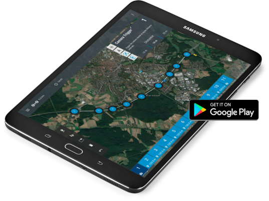
Downloading the mdCockpit app onto your Android tablet is easy. Click the image above or visit our page in the Google Play store.
To learn more Schedule a Meeting to speak with a Microdrones sales representative.