
mdInfinity Software
mdInfinity is a complete software solution for your Drone LiDAR and photogrammetry data processing. Our unique data processing modules improve your geospatial data workflows and the quality of your deliverables.
In the video below, Robert Chrismon, a Professional Land Surveyor and Marketing Manager for Microdrones provides an overview of the Strip Adjustment Data Processing Module within the mdInfinity suite, explains why it’s important, and displays some before and after examples. A summary is also provided or for more information, please CLICK HERE to download a special web paper on Multimodal strip adjustment of airborne LiDAR data using an advanced uncertainty model.
Strip Adjustment Data Processing Module
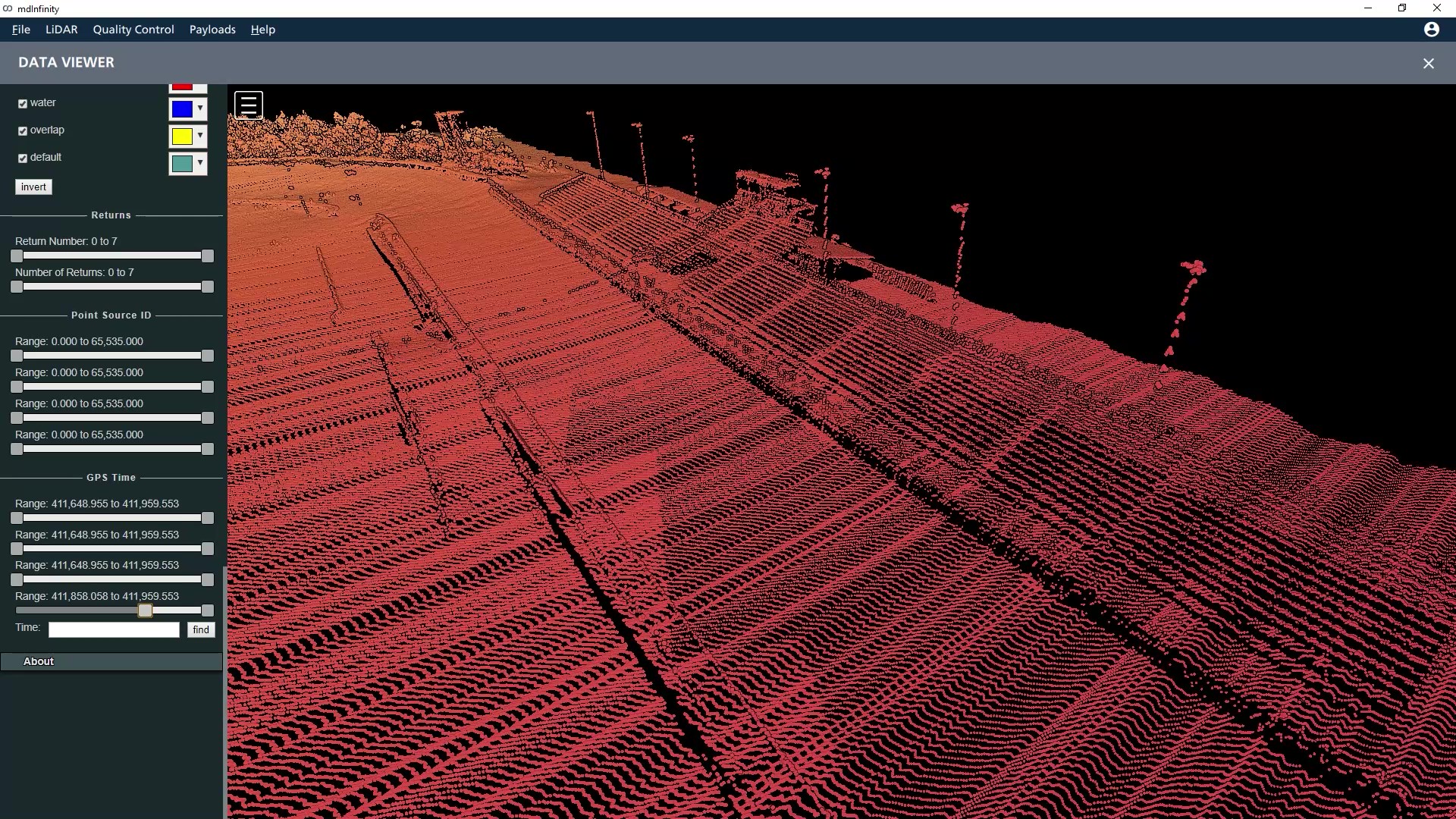
Drone Surveying Equipment collects data flying parallel flight lines while maintaining a predetermined amount of overlap throughout the survey area. However, even with a well calibrated system, there are navigation errors present due to the uncertainties inherent to an inertial navigations system. Just like the LiDAR sensor, the IMU and GNSS receiver have limitations to the precision that they can achieve. Fortunately, an estimation of these errors can be accounted for and addressed through the strip adjustment processes.
Within the mdInfinity suite, the Strip Adjustment module is automated and requires very little input from the user. The strip adjustment tool extracts overlapping areas of each strip, selects tie points from these areas, then adjusts the time dependent trajectories by an advanced least squares method.
This is achieved through a fully automatic and rigorous approach that corrects trajectories by estimating time-dependent attitude and position errors. The module performs four main steps that happen within the Strip adjustment sequence:
- Georeferencing: Which transforms the measured data from the LiDAR sensor and the Inertial navigation system into 3d points.
- Pre-Processing: Which computes the geometric parameters of each point
- Selection: Based on the geometric parameters, tie points are selected for the estimation of the trajectory errors
- Adjustment: which are the adjustments that are applied to each strip based on the tie points selected and the resulting estimated trajectory corrections.
The strip adjustment tool also allows you to introduce reference points from another source or from the same flights you are applying the strip adjustment. Other reference data, such as previously surveyed points, can be used to perform an absolute adjustment of the point cloud. Also, within the Strip adjustment routine, there are tools for reviewing the quality of the results.
The strip adjustment process is important and adds value to your data for many reasons. It allows for the correction of time dependent errors as well as constant errors per strip. This will improve the overall quality of the resulting point cloud. It can also be used to validate the calibration of the system.
Even with the most basic survey measurements, you want to adhere to high standards and this workflow falls in line with that mindset. The higher the precision and accuracy of the data the better the resulting deliverables or product will be.
To learn more about using the Strip Adjustment Data Module in mdInfinity, CLICK HERE to speak with a representative from Microdrones.