
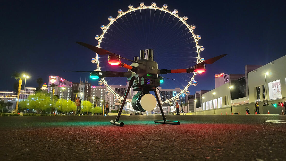
The EasyOne Drone LiDAR system from Microdrones is used to create a digital twin of a crime scene at night
At this year’s Commercial UAV Expo, Sundance Media Group, Kuker-Ranken, Microdrones, and GeoCue demonstrated how to use Drone LiDAR, in the dark, for a Crime Scene Investigation. Using the EasyOne Drone LiDAR system, the Kuker Ranken team scanned a simulated crime scene at night. The data was processed in LP360 to quickly create a digital twin.
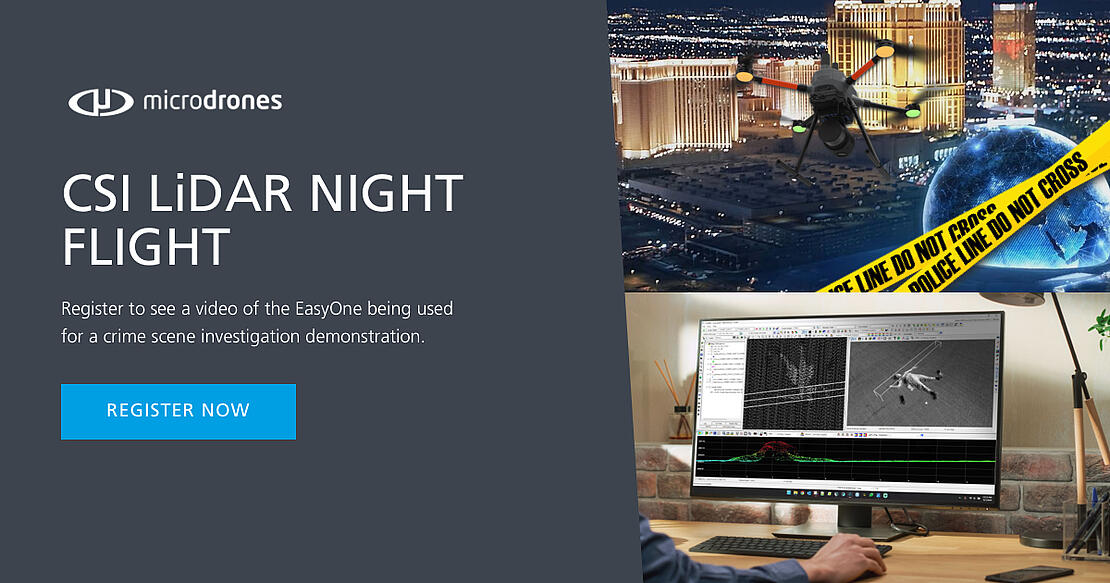
Crime scenes demand meticulous attention to detail for effective evidence collection and preservation while ensuring the safety of law enforcement, rescue personnel, and investigators. Drone LiDAR technology delivers unparalleled insights, accuracy, and efficiency in Crime Scene Investigations. Now you can see how the team from Sundance Media Group and Kuker Ranken, demonstrated this technology in action. Click the link below to watch the video of the CSI LiDAR Night Flight.
Drone LiDAR technology, like the EasyOne from Microdrones, can be a valuable asset for law enforcement in crime scene investigations and accident reconstruction. With its ability to capture high-resolution 3D data of an area, drone LiDAR aids investigators rapidly and accurately in documenting and analyzing crime scenes and accident sites like never before.
Douglas Spotted Eagle, Founder & Director of Educational Programming at Sundance Media Group, along with his experienced team, have extensively collaborated with law enforcement on real-world crime scenes. Their invaluable expertise empowers partners and customers, imparting the best practices to harness drone technology effectively.
“We're really excited about the Drone CSI event,” said Douglas. “One of the things that we have done every year at the Commercial UAV is, we created a nighttime CSI capture, with a mock homicide on site. However, this year was a little bit more exciting because for the first time ever, we're going to be capturing that scene using LiDAR from the Microdrones EasyOne.”
This technology allows law enforcement to create detailed, 3D models that can be used for evidence preservation, spatial analysis, and courtroom presentations. By rapidly and accurately scanning large areas, drone LiDAR enhances efficiency and minimizes error in the collection of critical forensic data. These capabilities aid in piecing together the events surrounding crimes or accidents, ultimately assisting law enforcement in delivering more thorough and reliable investigations.
Brady Reisch, the Virtual Design and Construction Reality Capture Specialist from Kuker Ranken, helped plan, fly and process the data collected at the demonstration. "Law enforcement agencies can harness this data to create a digital twin of the crime scene, offering significant benefits, Brady explains. “It enables us to revisit and reevaluate various aspects. For instance, we may have captured critical details on-site that our analysts initially missed, such as additional bullet casings or a misplaced knife. With the ability to return to the data later, we can conduct multiple analyses. This swift process allows us to swiftly secure the scene, perform cleanup, and conduct thorough post-analysis, ultimately expediting the reopening of roadways and facilitating smoother traffic flow for law enforcement."
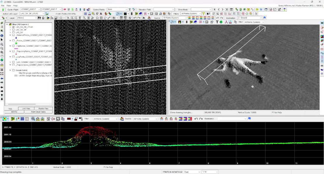
Overall, the demonstration was a great success. After the data was processed in LP360, a digital twin of the crime scene was created, ensuring that no detail was left unnoticed. View the data for yourself, by clicking the image above. Drone LiDAR can provide law enforcement with a powerful tool to deliver more thorough and reliable results in their investigations.
For more information on how you can start using the EasyOne fo For more information on how you can start using the EasyOne for your aerial mapping projects, schedule a meeting with one of our sales professionals today.