
Get Unparalleled Support and Training for drone surveying equipment and LP360 3D Point Cloud Software
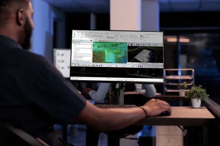
Are you looking to harness the full potential of your drone surveying equipment and LP360 LiDAR & photogrammetry 3D point cloud software? LP360 Training and Support can be the key difference in helping you get the most out of your geospatial data. Our tutorials, training, and support are designed to empower users with the knowledge and skills necessary to extract the most value from your geospatial data.
In the video below, Matt Brownlee, the Commercial Production Manager at T3 Global Strategies, explains how the Online Tutorial Videos helped his team create the perfect workflow in LP360. “I absolutely recommend you look at the YouTube videos,” he said. “And if you contact support, they’ll set you up with the right videos to watch.” See for yourself:
Tutorial Videos
Our comprehensive online tutorial series offers a thorough review of the various tools and workflows available in LP360, to help you maximize the data collected from your drone surveying equipment. To help you quickly find the topic you need information on, timestamps have been embedded within the video description making it easy to navigate the tutorials and locate the precise information you seek.
The four tutorials are listed below. As is true with all LP360 software, we are always building it around your needs and continuously updating the software. Please contact support if you cannot find the information needed.

On Sight Training
To become more efficient with drone surveying equipment and LP360 Drone software our sister company, GeoCue, offers free monthly training and demonstrations in the United States and Europe.
These structured training courses focus on all GeoCue software and hardware offerings, covering a broad range of LiDAR mapping workflows. Regardless of your organization’s experience, we will work with you to develop a training plan that helps your staff become more efficient with software and drone mapping tools while improving their understanding and depth of knowledge about LiDAR data processing.
In addition to teaching tools and techniques, we will cover the basic underlying processes of mapping methods, as well as industry best practices and procedures.
In this 2-day workshop, we explore the best practices for drone mapping including the hardware and software components needed to successfully complete projects.
Day 1: Flight Operations and Preliminary Data Processing
- How to maximize flight plans
- Drone and Sensor components and how they affect final collections
- Best Practices for High Accuracy Collection
- How Field QA/QC Saves time and Money
Day 2: Ground Classification and Derivative Products
- Adaptive TIN Algorithm – What You Need to Know
- Working With Point Cloud Tasks (PCTs) (Hands-On)
- Accuracy Assessment, Debias and Dealing With Noise
- Data Smoothing (Hand-On)
- Automatic Ground Classification (Hands-On)
- Ground Class Cleanup & Manual Editing Tools. (Hands-On)
- Classification Strategies, Additional Tools and Macros
- Data Thinning (Hands-On)
- Using the Export Wizard
Remote Training
If you’re unable to attend a training session in person, we also offer comprehensive monthly remote training sessions hosted through Go To Webinar. Sessions are held at convenient times in both America and Europe. North American Sessions last from 9 AM CST to 4 PM CST with a break for lunch. European Sessions last from 9 AM CET to 3 PM CET with a break for lunch.
Remote Training Agenda:
- Part 1: Flight Operations and Preliminary Data Processing
- Part 2: Ground Classification and Derivative Products
Register today for our next Remote Training Session
LP360 Custom Training
If your organization needs a deeper dive into LP360, our team of experts is available for one-on-one class sessions. LP360 custom training provides everything you need to learn about our products and services, from foundational topics such as Introduction to LIDAR to advanced topics including planar filter, point cloud extractor, or volumetric analysis.
Training can be done specifically for your project, using your datasets to answer your specific needs.
If you need to learn how to do more with LP360, book your custom online session today.
With the right technology, drone-mounted LiDAR systems can improve the efficiency of mapping applications by drastically reducing the time it takes to collect and process data. At GeoCue, we understand the importance of having the right hardware and software, but also having the right training, tutorials, and support to help you maximize your data.
For more information and to get started today, please schedule a time to meet with one of our informative sales representatives.