The Microdrones team is always seeking ways to improve our integrated systems and the value that they provide. Customers expressed interest in a new feature that would allow the drone to maintain a consistent altitude above varying terrain. We’re happy to release new Terrain Following Functionality within our mdCockpit tablet software.
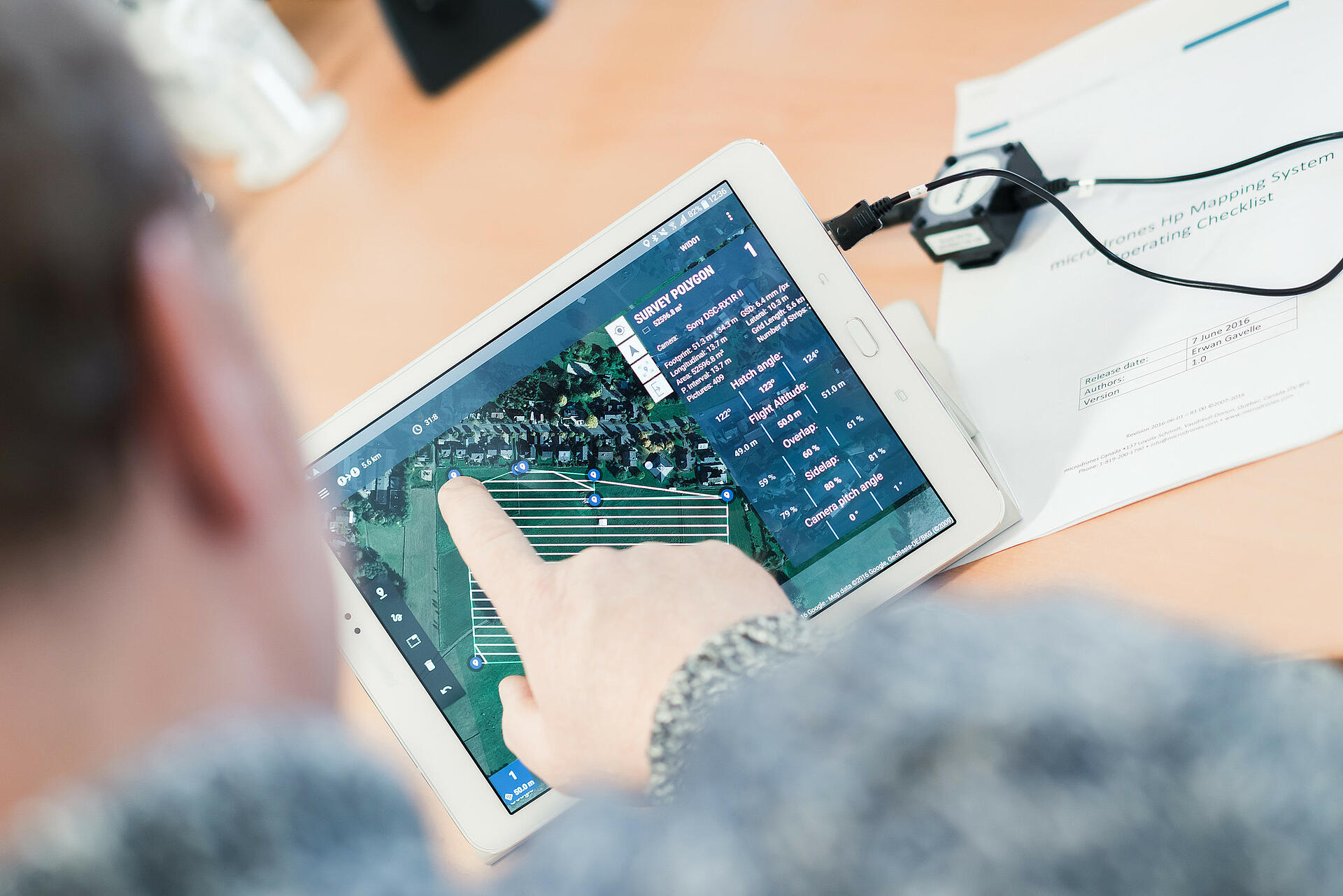
The new Terrain Following functionality enables the drone to maintain a consistent height above a changing grade. It calculates an altitude route of a mission plan based on an elevation model called SRTM.
Once enabled, elevation values are seen on each mission item. Upon mission upload, the altitude route is sent to the drone. This feature increases flight safety and improves the accuracy of collected data.
You can preview the functionality via the video below:
This new functionality will be packaged with the latest Microdrones mdCockpit tablet software update, available on the Google Play Store this coming Monday 3/26/2018.
Before flying with the software update, we strongly encourage all users to review the user guide within the newly updated mdCockpit software.
Interested in working with Microdrones to improve your geospatial workflow? Our friendly, helpful team is eager to speak with you!