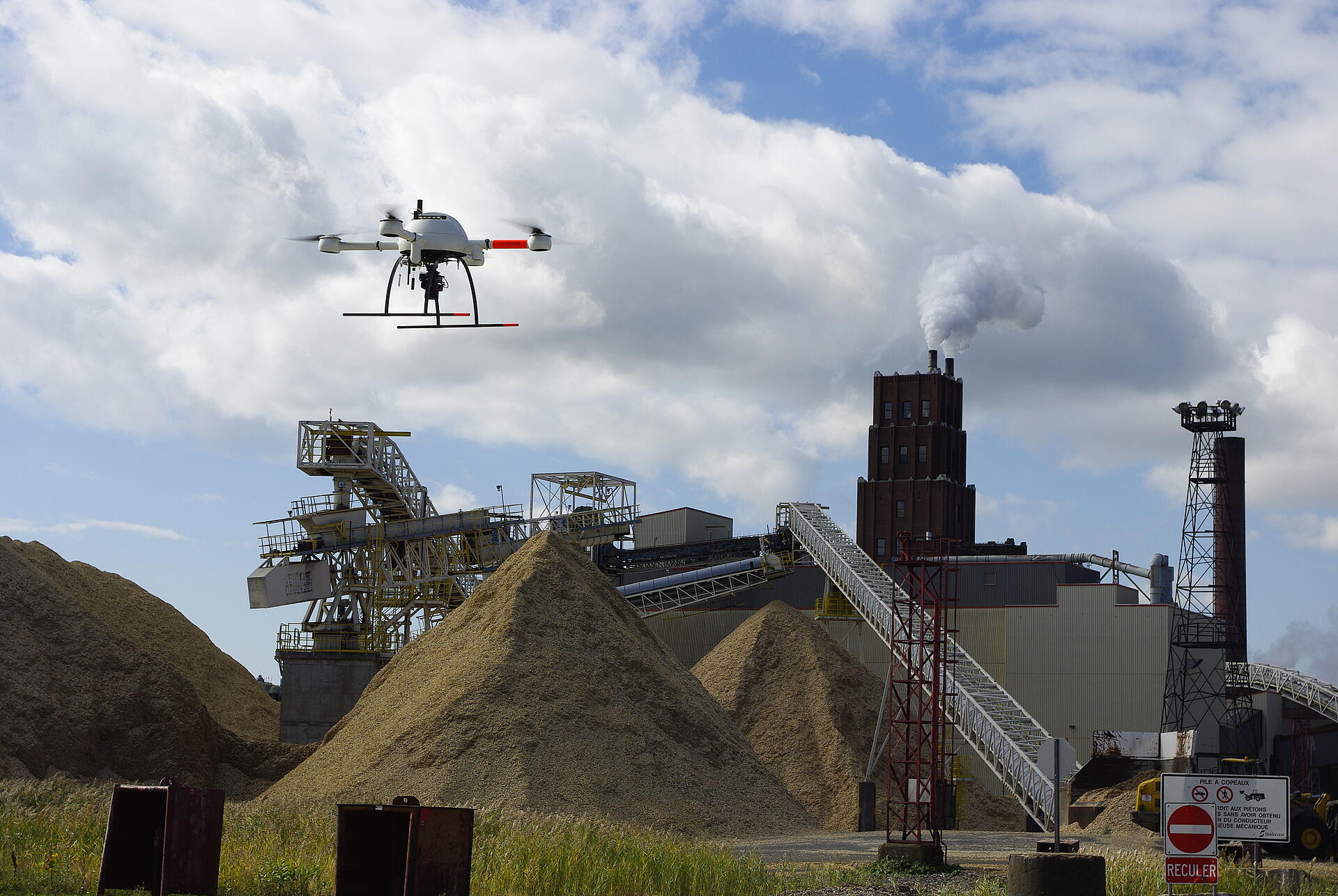
Accurate measuring of stockpile volume is crucial to the success of any mining operation. Traditionally, this labor intensive task requires workers to climb stockpiles and use GPS equipment to map data points to estimate the stockpile’s size. Not only is this method dangerous and putting human lives in jeopardy, it’s also not reliably accurate. However, mining operations are now discovering that utilizing drones for stockpile volumetric analysis makes the process faster, safer, and more cost effective.
FASTER ANALYSIS
Transitioning to drone-based stockpile analysis allows for faster measurements. Jobs that once took days to complete can be finished in minutes or hours.This rapid analysis enables better tracking of changes since taking inventory can be done weekly or even daily, rather than quarterly. Mine operators can leverage the up-to-date information to make better decisions and optimize business.
GREATER ACCURACY
Because conventional laser scanners are unable to analyze depression caves and undercuts, manually measuring stockpiles using a scanner is often prone to inaccuracies. On the other hand, drones are capable of looking down on stockpiles and accounting for irregularities on the top surface. This method promotes more robust and precise measurements.
ENHANCED SAFETY
Sending a human to climb stockpiles can result in twisted ankles, falls, and accidents, leaving companies open to liability. These individuals must also navigate busy yards where heavy equipment operates, increasing the risk to worker safety. Drone based data gathering removes the threat of human injury for a safer workplace.
Drones are versatile tools that have a variety of uses. Applications include mineral exploration, heritage & environmental management, lease boundary analysis, and thermal analysis. Drones boost productivity and are capable of real-time monitoring. With so many benefits, it’s no wonder that according to a survey of 190 miners by International Data Corporation (IDC), two out of three mining companies around the globe are currently evaluating the best way to integrate drones into their processes.
Microdrones UAVs make it easy to plan, monitor, and repeat surveying missions at a price that is far more attractive than standard collection methods.
Related to this topic, Microdrones was excited to see its systems in a nationally televised ad in Australia, based on the work being done by The Minerals Council of Australia and Rio Tinto. See the video here:
Interested in making drones a part of your work? Start a conversation with our team of professionals now.